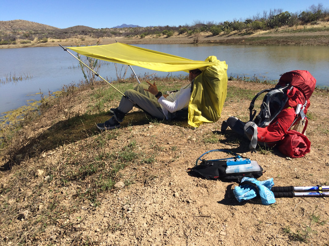
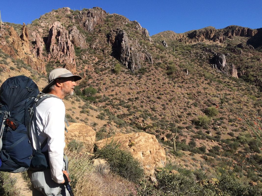
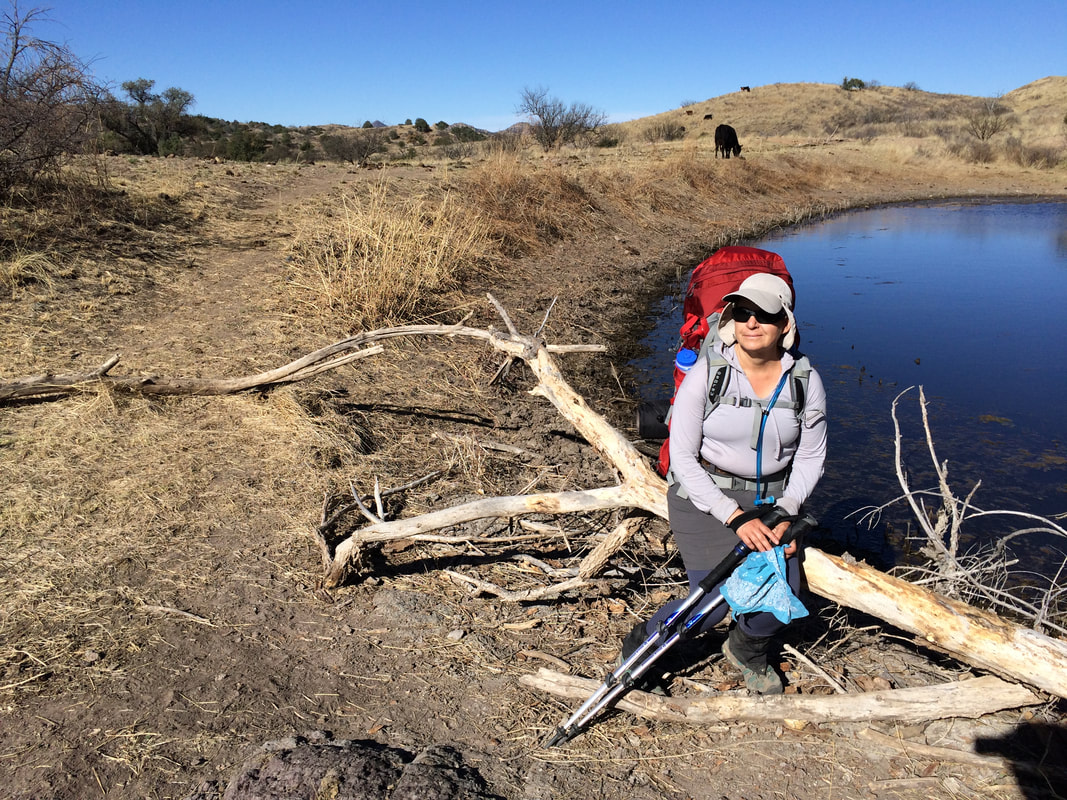
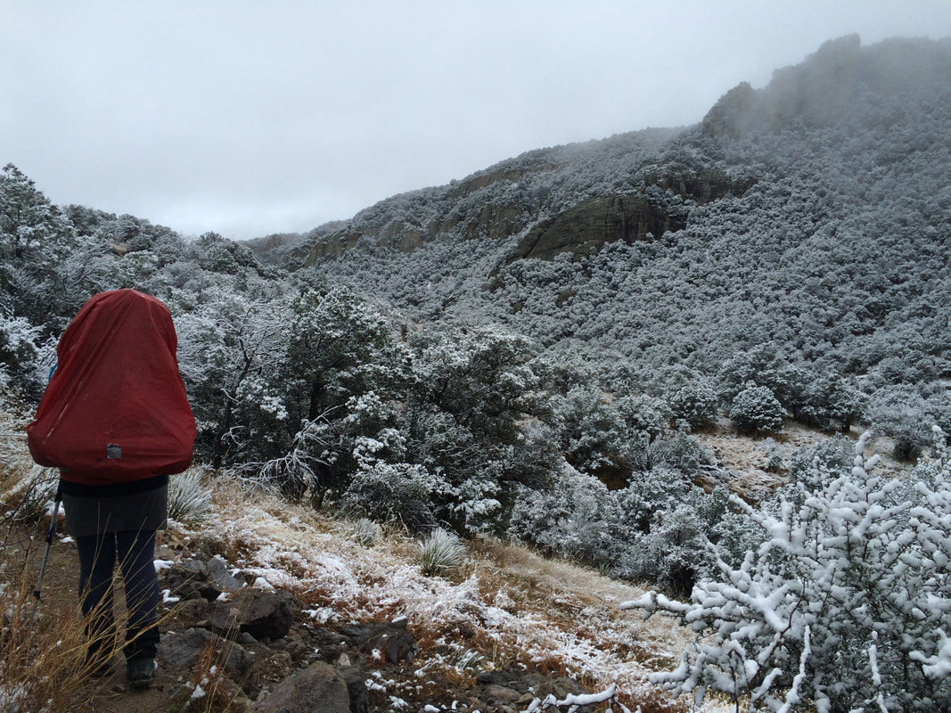
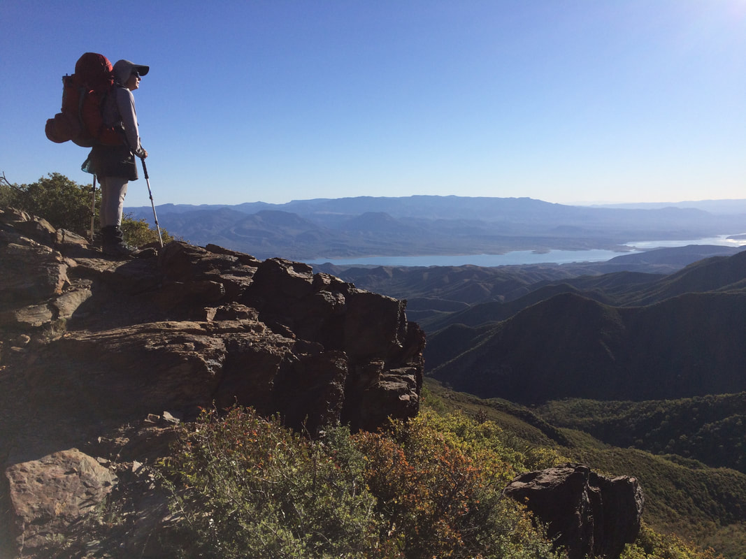
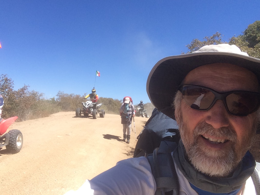
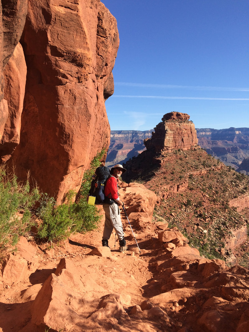
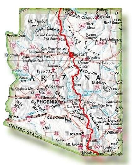
AZT Trail OverviewThe Arizona National Scenic Trail (AZT) is a complete non-motorized path, stretching over 1,300 diverse kilometers (800 miles) across Arizona from Mexico to Utah. It links deserts, mountains, canyons, forests, and communities. It is considered one of the most difficult thru-hikes in the US due to its terrain and the lack of water sources.
As with other long trails in the US, there is an exhaustive amount of information online including videos, blogs, and websites. One website, mandatory for anyone doing this trail or even sections (called passages), is http://www.aztrail.org/ . Sign-up, become a member, and enjoy the amazing amount of information. Also, don't forget the app for your mobile. It is incredibly precious for live updates of water supply as you walk the trail. We completed the AZT from South (Mexican border) to North (Utah border), called NOBO, in the spring of 2016. It was the center piece during one of our sabbatical years. |
|
Planning the AZT |
For anyone interested in planning their own AZT thru-hike or those curious about our approach - click to gain access to our detailed process.
|
|
|
YouTube VideoThis is a collage of our favorite pictures and videos posted on our YouTube Channel.
|

|
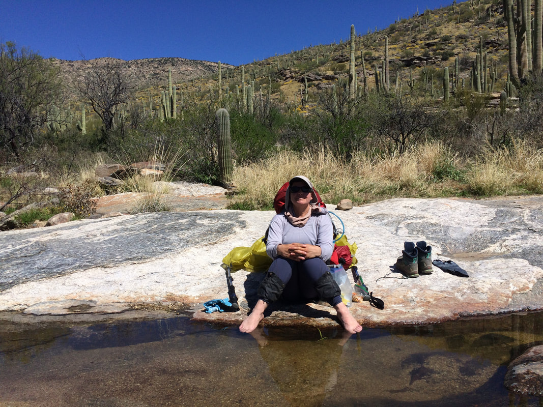
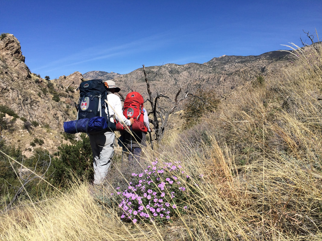
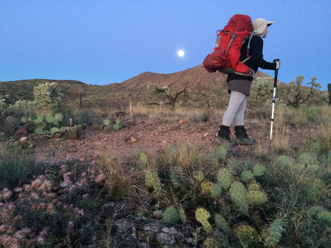
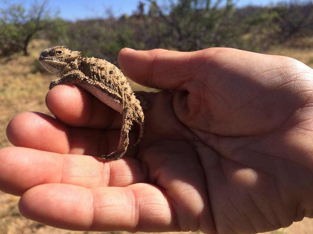
GalLery