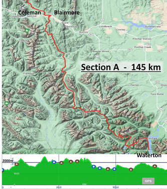
Waterton to Blairmore
|
The spring had felt long with anticipation. We heard from other GDT (Great Divide Trail) hikers, who had started walking in late June and early July, that the winter’s snow cover created dangerous trail conditions. Route finding and traversing steep ridges was treacherous. Late thaw also meant higher water levels, translating to dangerous river crossings. The GDT is notorious for countless wet stream crossings. Many were throwing in the towel, too hard or dangerous, maybe next season. Our start date was July 19th, would the trail conditions improve by then? We hoped so.
|
Our nine caches were dropped off along the trail and would wait for us. Our car was parked in Jasper for the duration. We set off on this new adventure making our way to the start of the GDT. First there was a shuttle bus ride, 9 hours, from Jasper to Calgary. Then, my (Julie) brother Louis and his partner Nicole, hosted us for the night and drove us to Waterton the next morning.
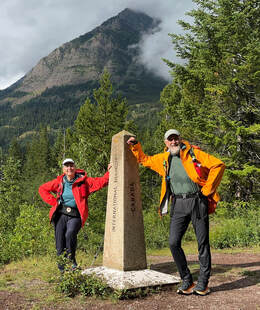
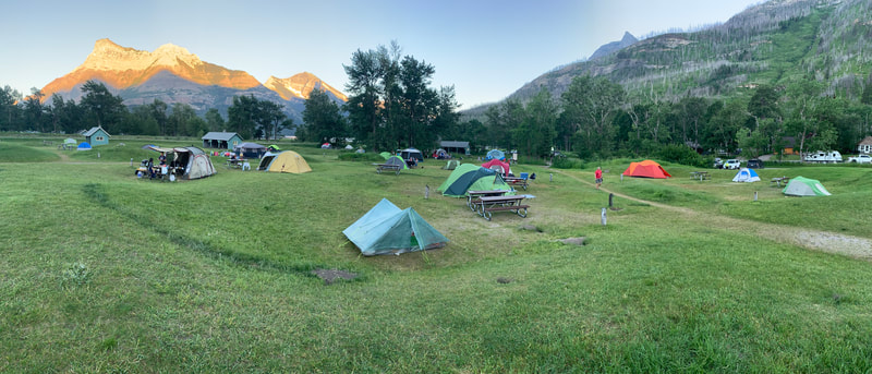
This was it; the start of the long-anticipated trek. Were we fit enough? Was our preparation adequate? Was our itinerary manageable? We would soon find out. We felt restless. As if on cue, the weather matched our emotions. High winds made the trees sway and debris flittered everywhere. Thunder and lightning made our sleep fitful. Day 1 was a simple walk along Waterton Lake to the U.S. border and back. Easy Peesy. That evening, we took advantage of the town’s amenities and enjoyed a great meal and a movie. The following day, we’d set off into the wilderness.
|
|
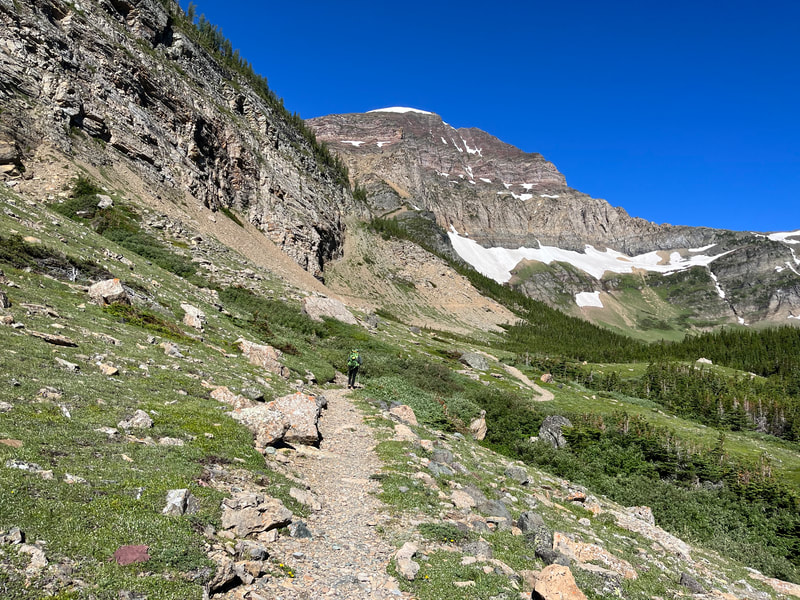
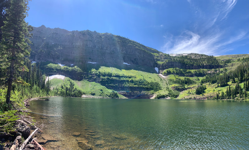
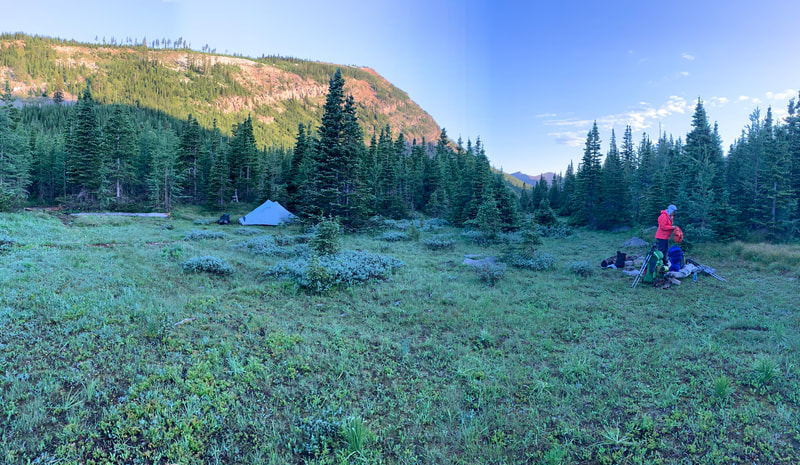
As we left the campground, our packs felt heavy, loaded with 5 days of provisions. The trail continued at Cameron Falls Lookout and headed uphill straightaway. It climbed 1200 m. This 24 km day would take us over 10 hours to complete. We were not lonely, there were many day-hikers in this beautiful park. The well- groomed trail led up to Anderson Lake, Carthew Lakes, and Pass. We had a lunch at Summit Lake and made our way down to Cameron Lake. From this touristy spot, we still had some distance to travel. We left Alberta’s Waterton Park and crossed into BC’s Akamina Provincial Park to camp. Those last few kms seemed to take forever; our legs felt like lead. This would be a common refrain at the end of most days.
The first sign of the benefits of our training program surfaced the next morning, we felt fresh and ready for another day’s challenge. |
|
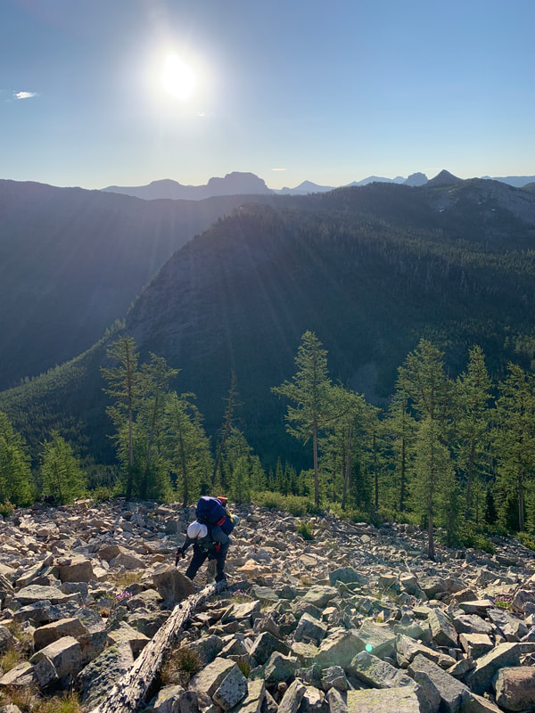
We met Chris and James, two GDTers, at the Rowe Lake trailhead. We hiked into the lush forest, climbing along the scree and snow-covered slopes toward the Lineham Ridge, Pass, and Crest. On the way up, I started experiencing severe leg cramps. I doubled over in pain, unable to bend my legs. I was dehydrated. Simon quickly mixed some electrolytes with water from a nearby stream. We sat for a while, and I drank and drank. This was a reminder to eat and drink enough to match the energy output necessary for these strenuous treks.
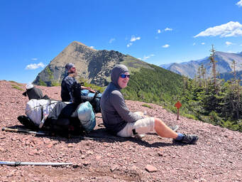
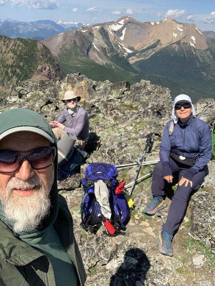
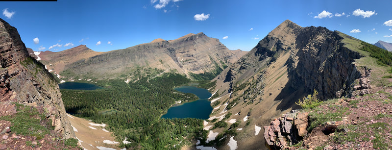
With my legs feeling somewhat better, we summited Lineham Ridge. Stopping to enjoy the view, we were soon joined by our new friends, Chris and James, and another hiker, Andy. |
|
The steep scree descent was long, and the high winds pushed us around. It took quite a bit of concentration to stay on the trail. A fall here would have been disastrous.
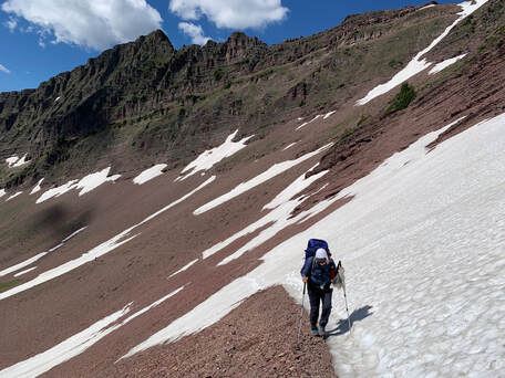
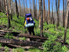
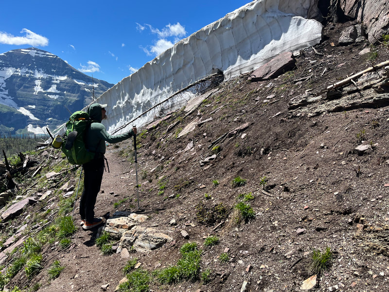
Signs of a recent forest fire were everywhere, including numerous dead-falls which we had to climb over. This slowed our progress down. We were surrounded by burned trees and therefore exposed to the hot afternoon sun. As we neared the end of the day, we climbed a second pass. At the top, we faced a large challenging snow cornice. We could see that many hikers had taken a long detour to avoid this tricky section. But fearless Simon decided we could downclimb the 10-meter wall of snow. Carefully, he kicked steps down the steep slope, steadying himself with his hiking poles. |
|
I followed his ladder, and soon we safely rejoined the trail. Lone Lake camp was a welcome sight at the end of another challenging day. We spent the evening sharing stories with our new friends, all of whom were feeling the strain of this 28 km, 12-hour trek.
As luck would have it, Day 4 was a short day. Due to the overburdened reservation process, we had cut our planned itinerary for the next day into two. We would stop at the next camp by Twin Lakes, some 7 km away. |
|
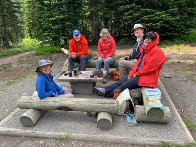
Chris and James set off toward Font Creek camp, we would not see them again. Andy decided to stop at Twin Lakes camp as well. We met several weekend hikers at this camp. They lived in Canmore but originated from Ottawa and one, Lynne, had attended Charlebois high school, our alma mater. What a small world.
Day 5, we felt great. Our itinerary had us camping at Jutland, but we pushed on to Scarp Pass camp, an additional 5km. This decreased the distance on the next day. We were joined by Andy that evening. He asked to join us the following day. This next section was known as one of the cruxes on the GDT. |
|
Andy revealed that he had limited vision and a decreased depth perception, and he was a bit nervous about route finding alone on the passes. We discussed this and agreed to support and him over the technical terrain.
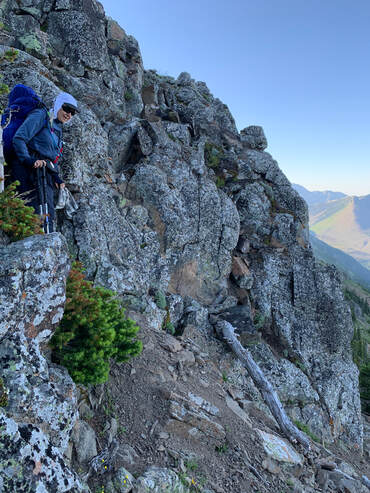
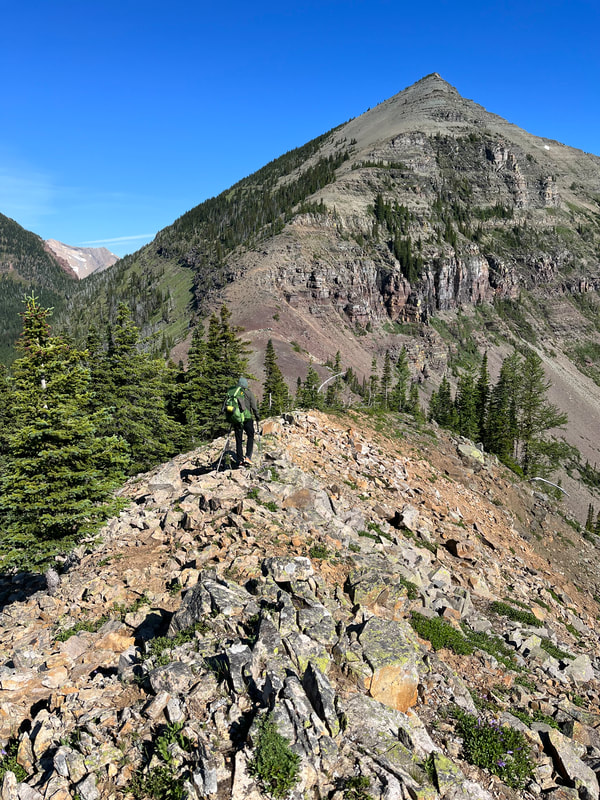
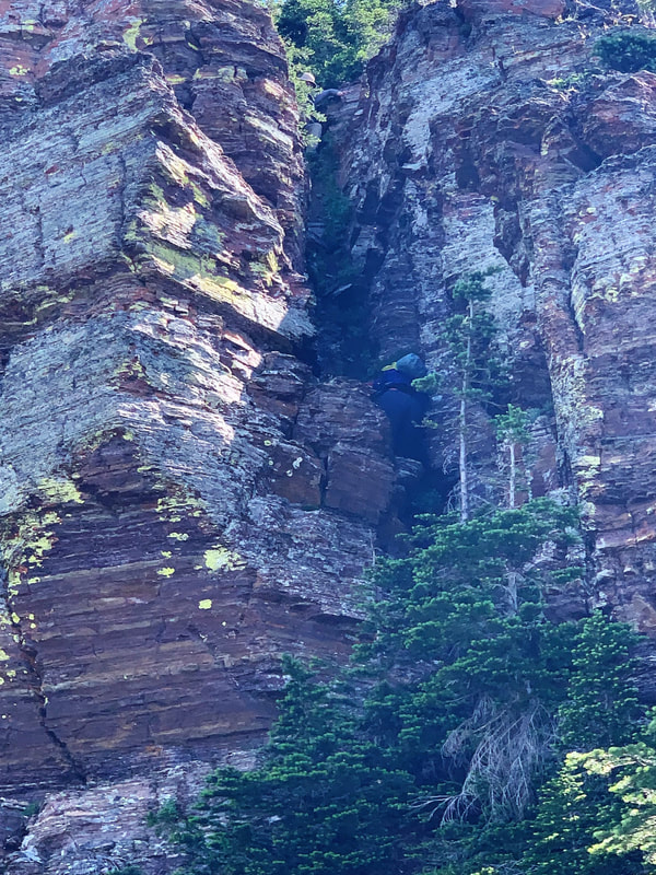
On day 6 we left early and told Andy we would wait for him on the ridge at the technical bits. The day didn’t start well. We lost the trail soon after leaving camp. With the help of the GPS, we managed to climb La Coulotte Ridge and see the terrain ahead. A second climb led us to an open scree-strewn ledge and our first view of La Coulotte summit. We down-climbed a technical chimney and found a spot to wait for Andy. A half-hour latter he climbed out of the boulder field and onto the ridge. We called out to him and directed him to the chimney. It was then that we observed how visually impaired he was. We were amazed that he had chosen to hike the GDT and a bit uneasy about his capability of safely completing the trek alone.
Together, we crested the ridge. Simon leading, me second and Andy close behind. As we down-climbed a second chimney, I had to ask Andy to take more care with his foot placements as he was causing a lot of rockfall down the slot onto my head. He seemed unaware of the dangers of simul-climbing in this type of terrain. At the summit, we devoured a second breakfast and enjoyed the views. A big-horn sheep was basking on the rocks below. |
|
Storm clouds were gathering west of us, and we still had two Sunkist Ridges to crest before descending into the West Castle valley. We had to keep moving. The trail into the valley taunted us from afar as we scrambled along treacherous scree slopes. Finally, we set foot onto the old mining track and started the long descent into the forest. We bid Andy good luck and parted ways. We had another 14 km of hard walking to reach Castel Mountain Resort where a room awaited us. All we could talk about was the food we would enjoy at the pub that night. After over 13 hours of hard scrambling, we staggered into the resort. Burgers, fries, and beers never tasted so good.
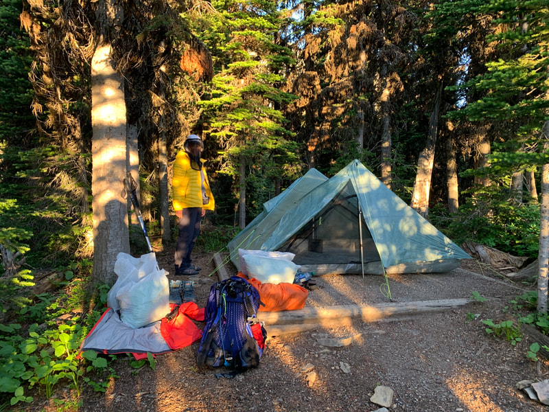
The following day (7), we walked 22 kms to Lynx Campground. Part trail and part dirt track, the walk was easy, but it was very hot, and we felt spent when we arrived at our campsite. As we set up our tent, a neighbor stopped by. In the community of distance-walkers this type of generosity is always appreciated.
|
|
On Willoughby Ridge |
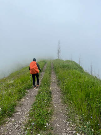
On the last day of this section (day 8), the weather turned. The low-lying clouds gave us the impression of being alone on an island. With no views to entertain us, we walked in a reverie.
The track on Willoughby Ridge was rough as it was popular with ATVers. Still, we made good time and reached the road into Blairmore and our home for the next 2 nights, the Lost Lemon campground. Our host suggested the Pass Brew Co Pub for our evening meal. Mmmmm – a great recommendation. |
Photo Gallery |

