GR10 - Returning on the Trail in Arrens-Marsous
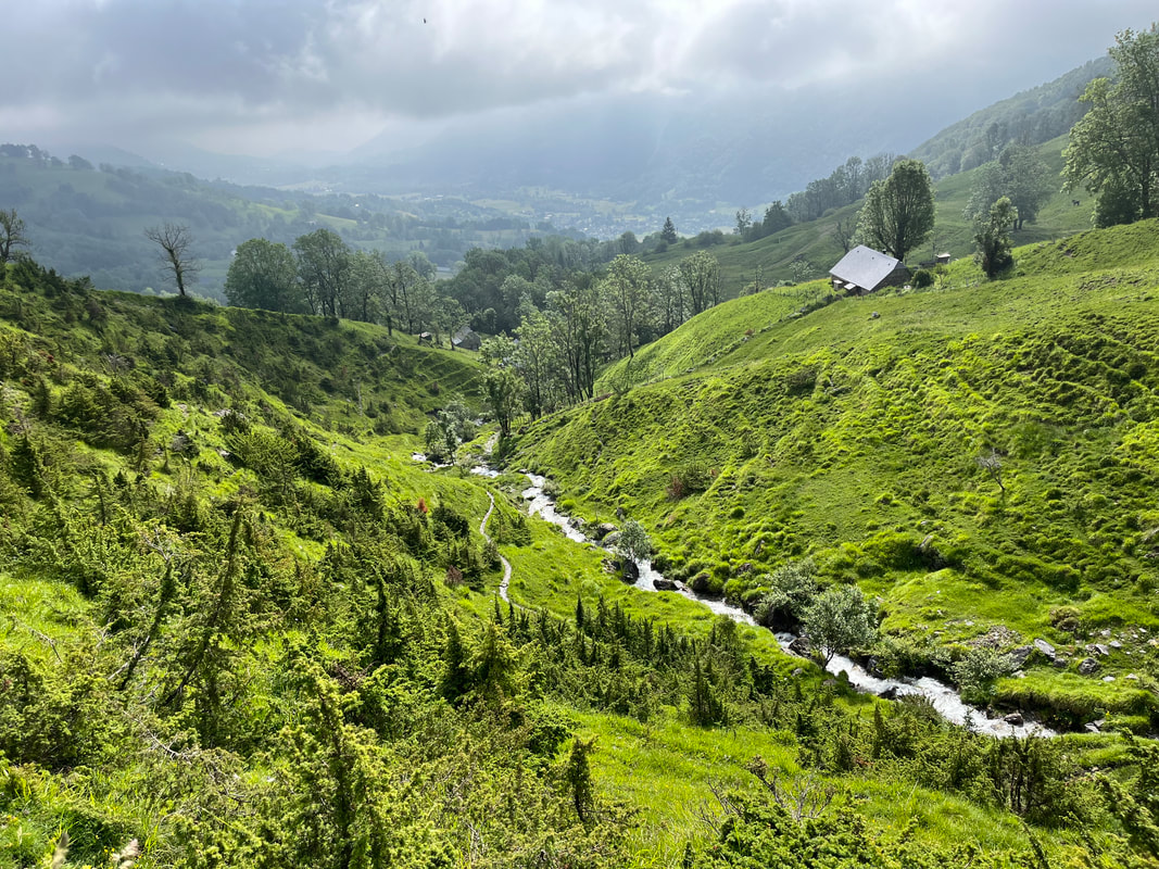
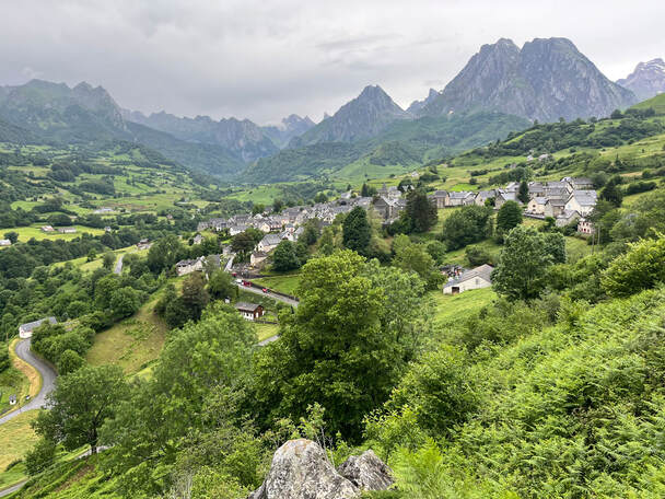
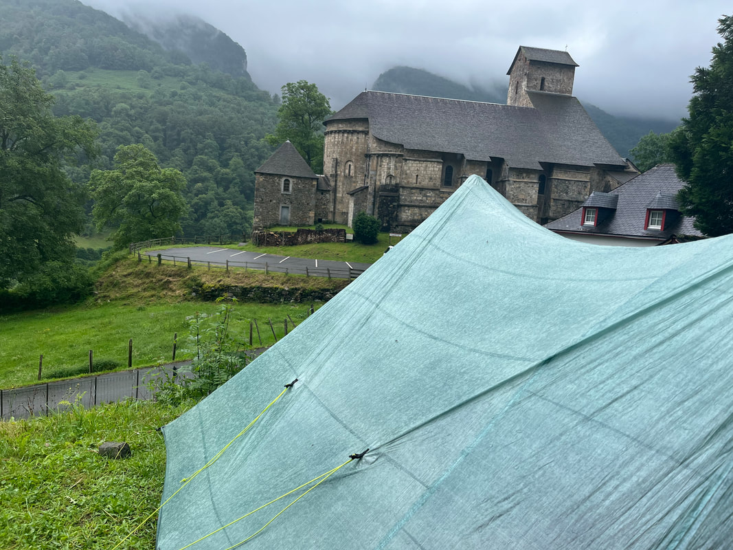
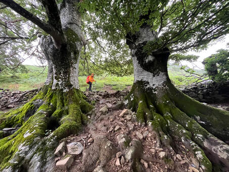
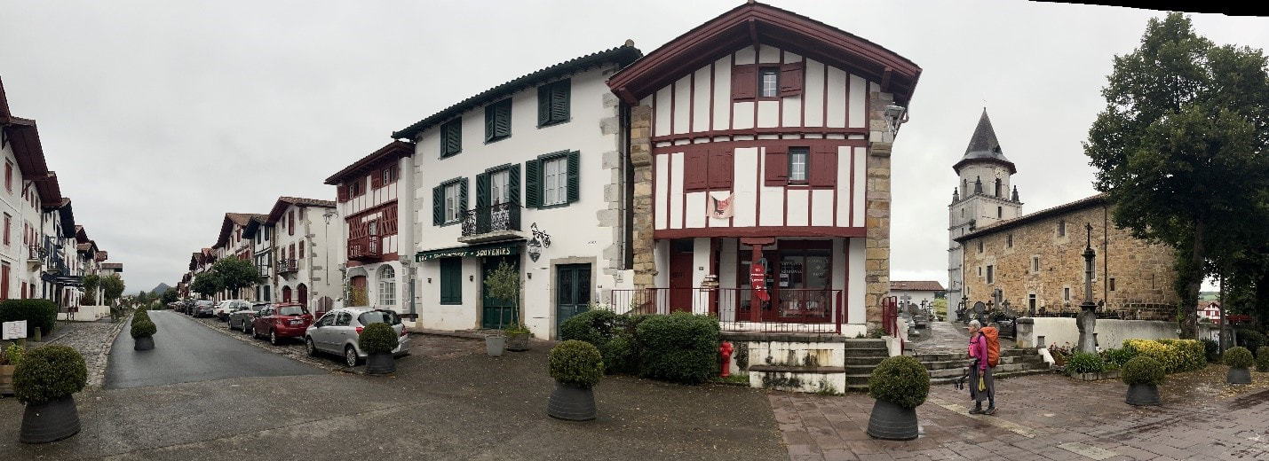
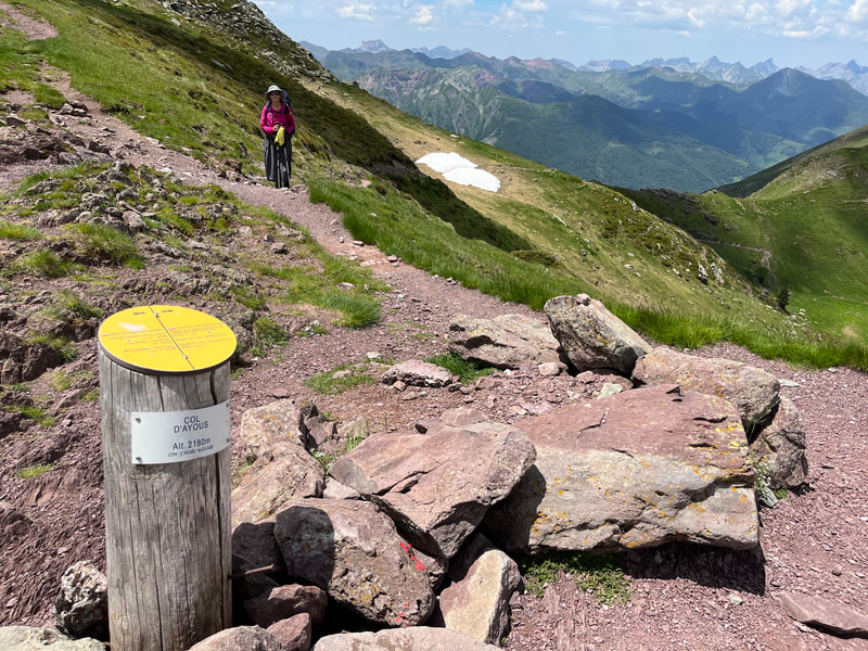
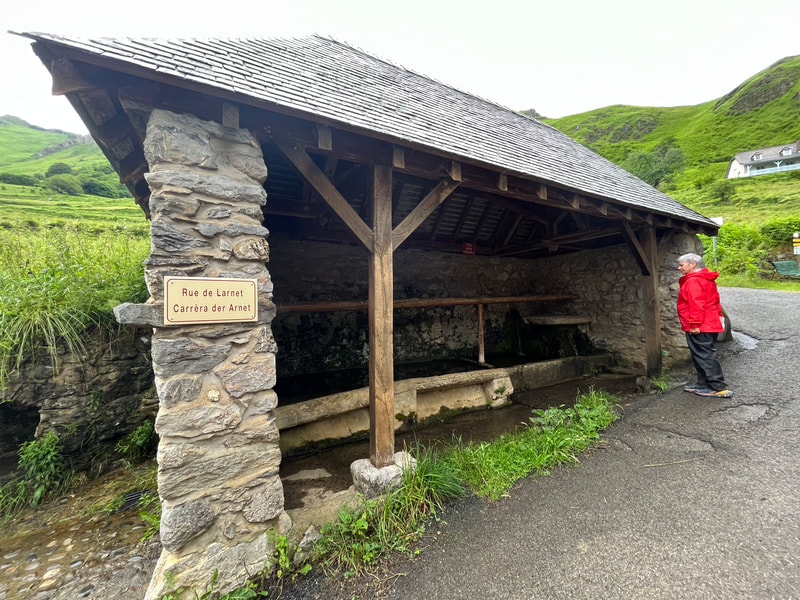
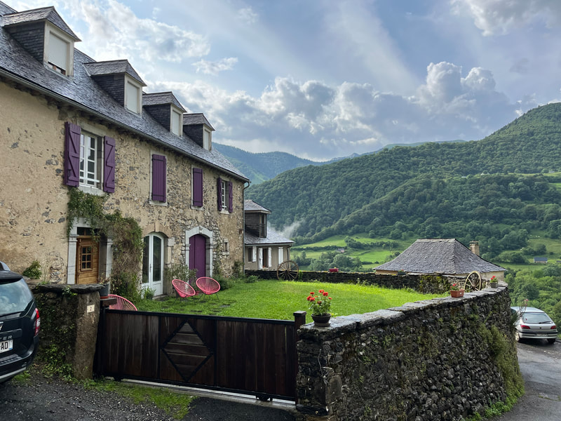
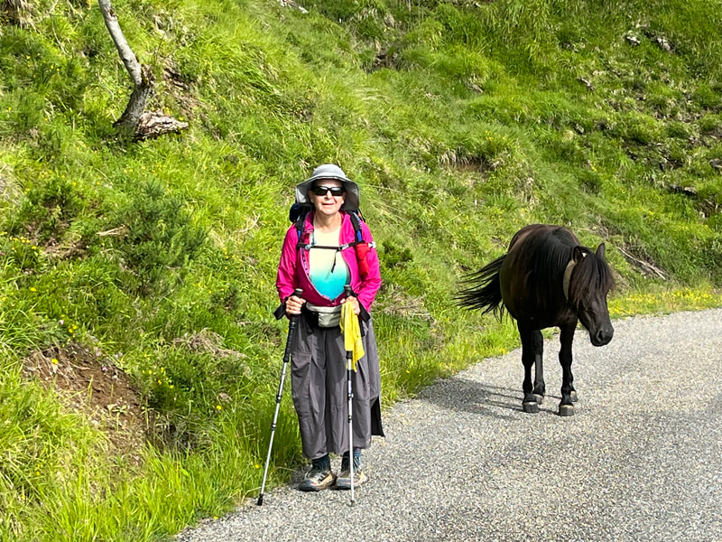
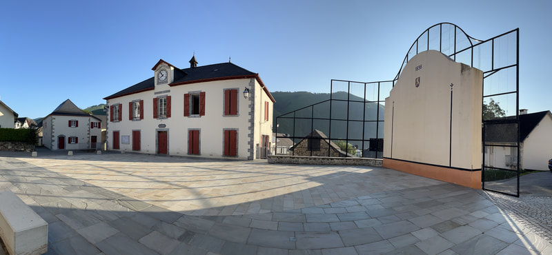
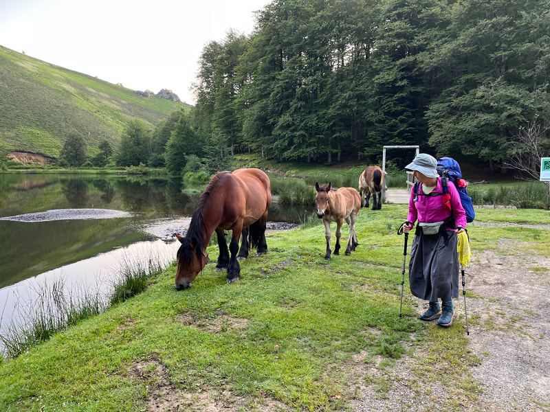
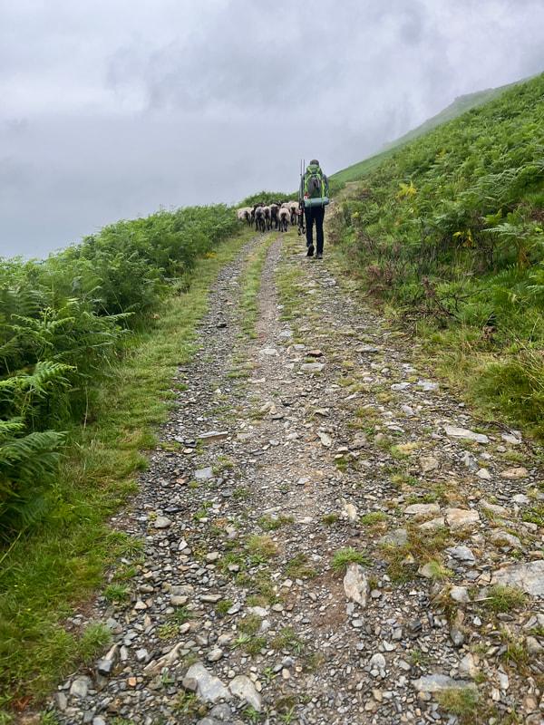
Early the next day a bus from Lourdes to Arrens-Marsous. It was a very picturesque town reminiscent of Austrian alpine villages with dark slate roofs, stone houses and colourful shutters. This was a busy valley with shepherds moving their cattle up into the highlands to graze. This slowed our pace a bit, but it did allow us to catch our breath. After crossing a few high cols, we descended into Gourettes.
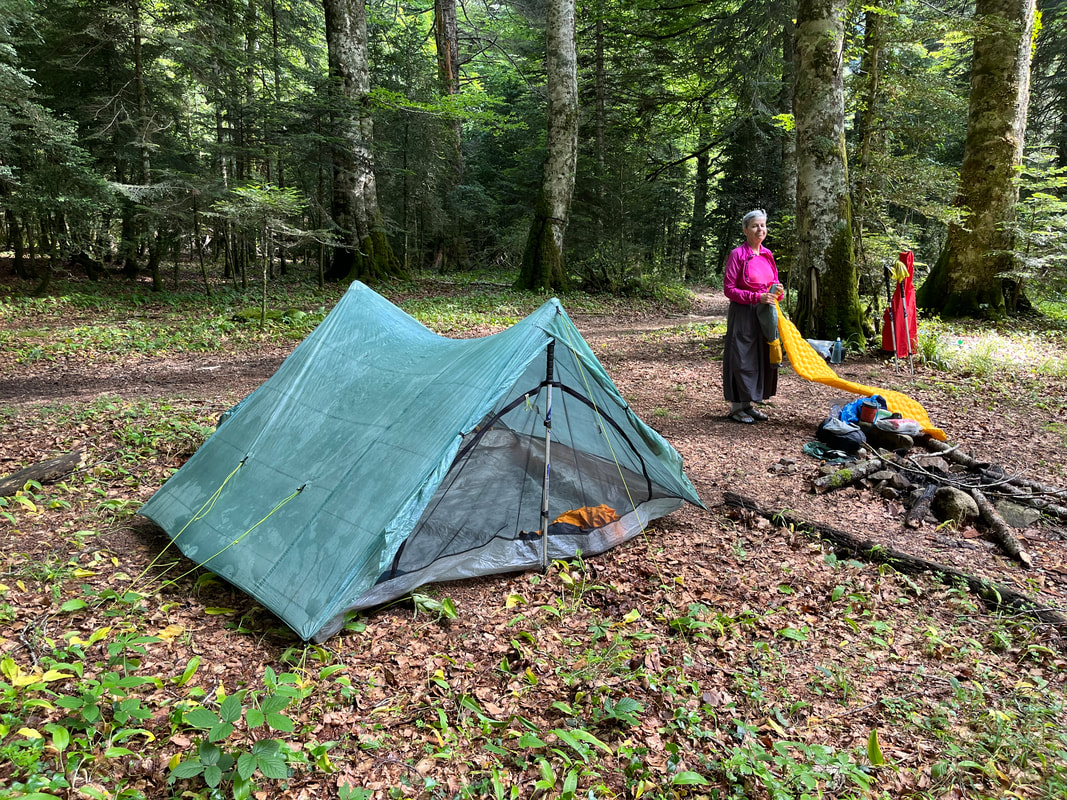
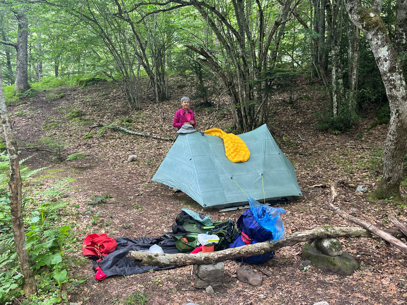
Gourettes was a ski village, and everything was closed. Our plan of purchasing supplies thwarted, we were out of luck. Fortunately, we always carried a few extra dry meals, just in case. On the outskirts of town, we set up camp in a kid’s park. Sleep was delayed however, as a large group of kids came out for a party. Music, games, and a bonfire kept them amused for a few hours. We were very pleased nevertheless that the kids were polite and stayed clear of our camp site.
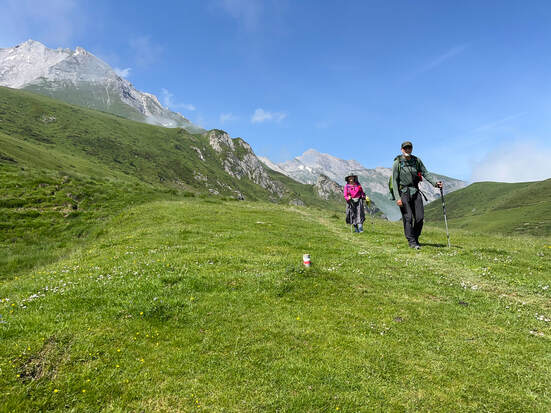
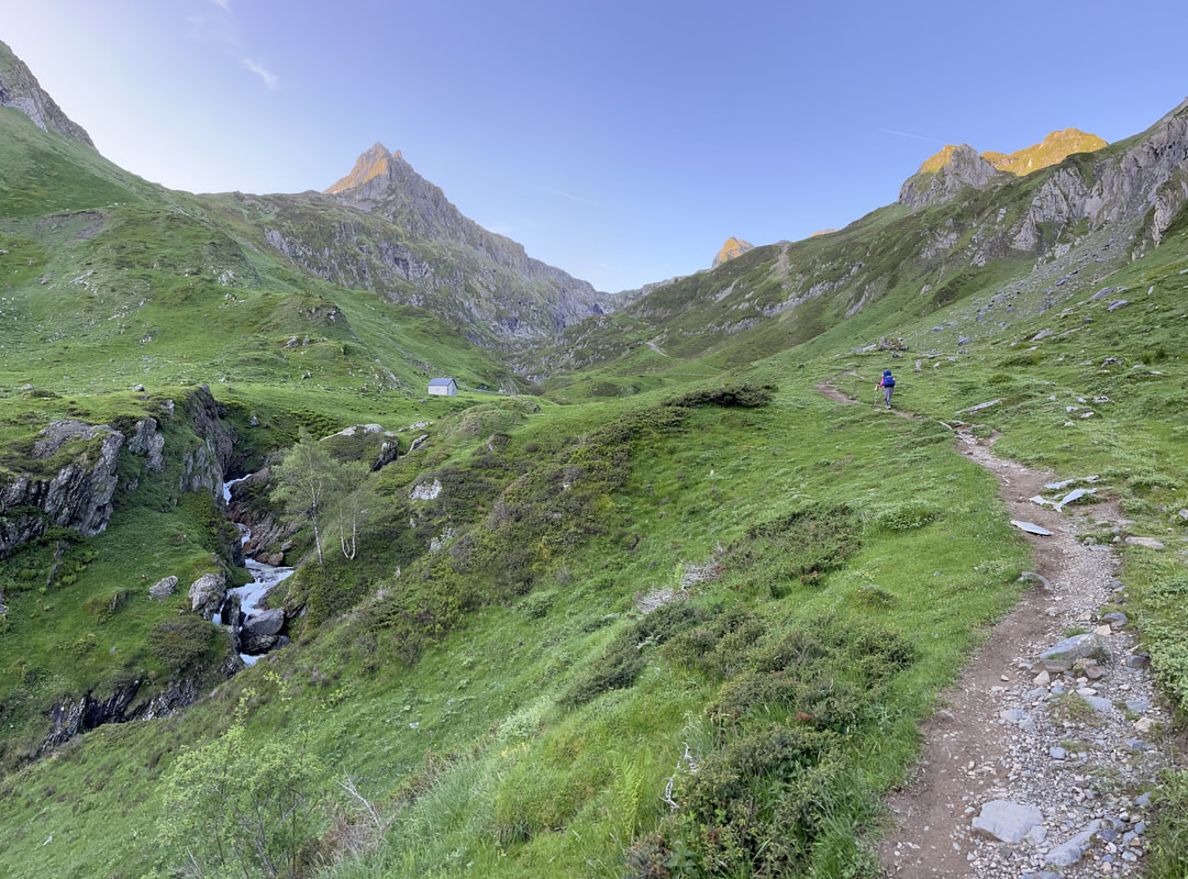
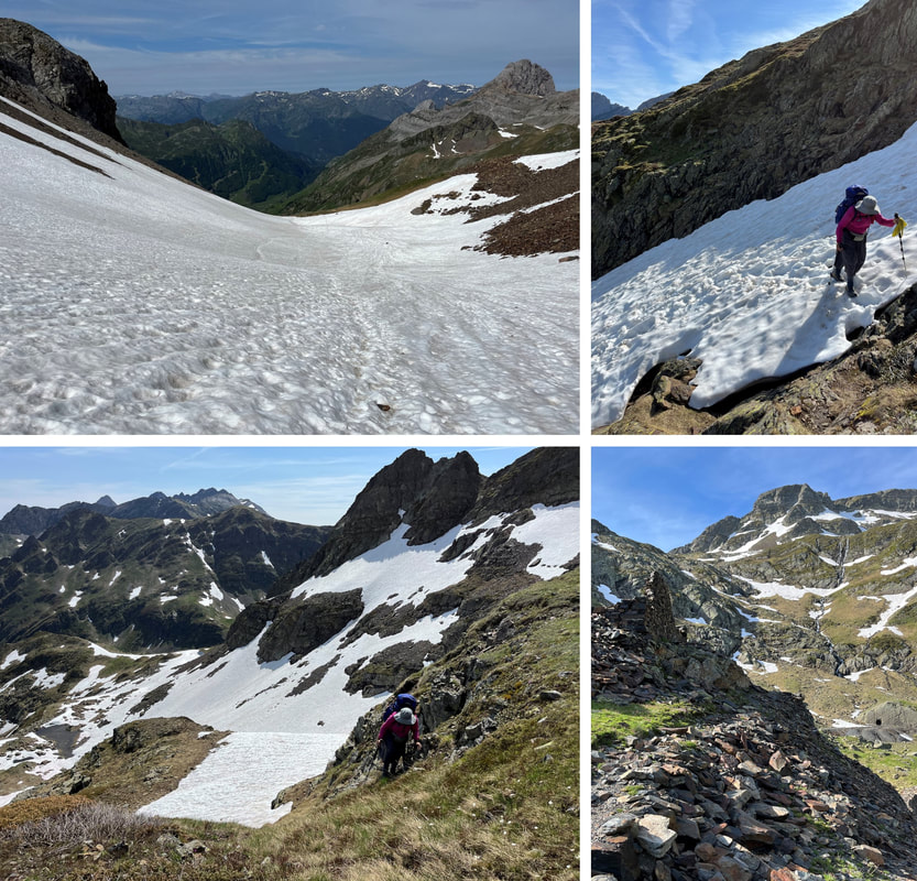
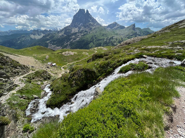
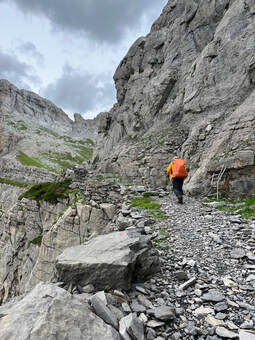
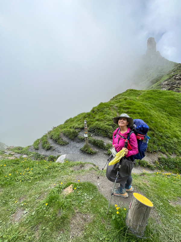
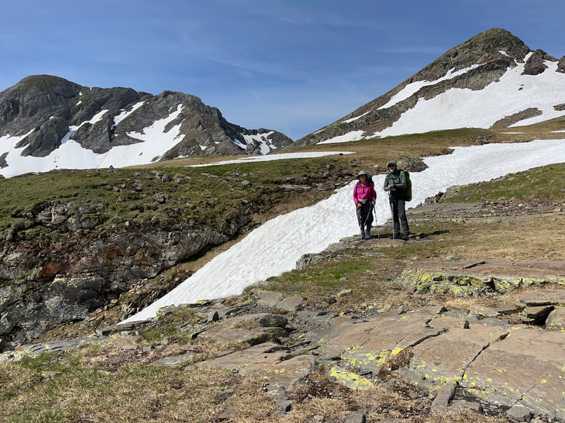
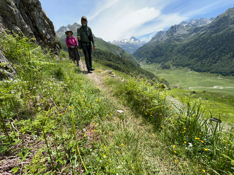
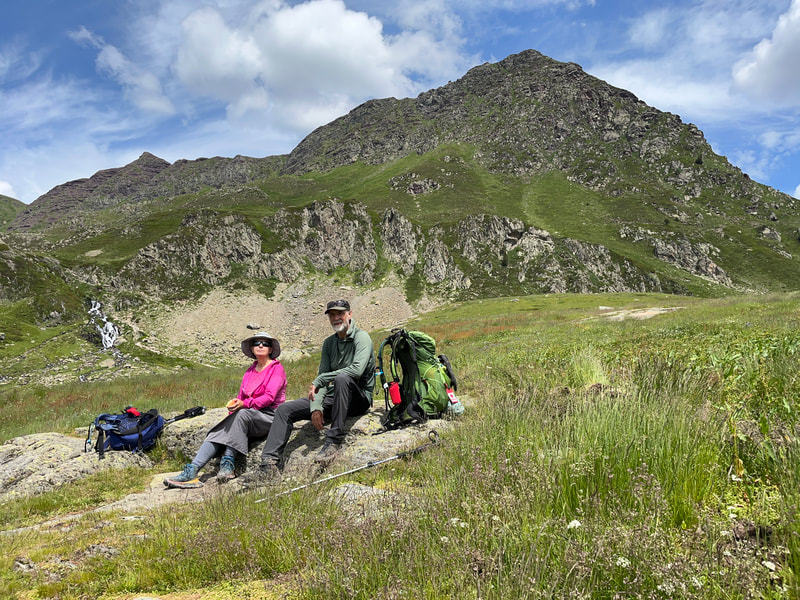
Hikers had warned us that the next high pass was deep in snow. Anxious, we hiked up into the alpine meadow where sheep were busy grazing the new spring vegetation; sounds of their bells filled the air. We could see the col far up the valley. It seemed never to get any closer. As we reached a rocky section, we crossed our first snow patches. At first it was simply a matter of going off trail a bit to walk on the rocks. But as we progressed, it became clear that we would have to make our way gingerly across the ever-increasing snow patches to stay on trail.
A bit of rock scrambling finally got us to the pass of Hourquette-d’Arre at 2465m. Looking down the other side we saw a kilometer of snow covering the steep descent.
A bit of rock scrambling finally got us to the pass of Hourquette-d’Arre at 2465m. Looking down the other side we saw a kilometer of snow covering the steep descent.
|
This was Julie’s worst nightmare. Steep hard snow can easily lead to a slip and fall. Without any crampons this was going to be scary! Simon led the way creating steps as he descended. Julie followed at a safe distance and was soon way back. She was down-climbing (facing the hill) to manage her vertigo. With her arm muscles burning and her legs shaking, she finally made it to a less steep area where she could face out and descend a bit faster. But the day was not over. We carried on slowly on the rocky, technical terrain. By 5pm we found a suitable flat spot where we could bivy. After a copious meal, we closed our eyes on another hard day.
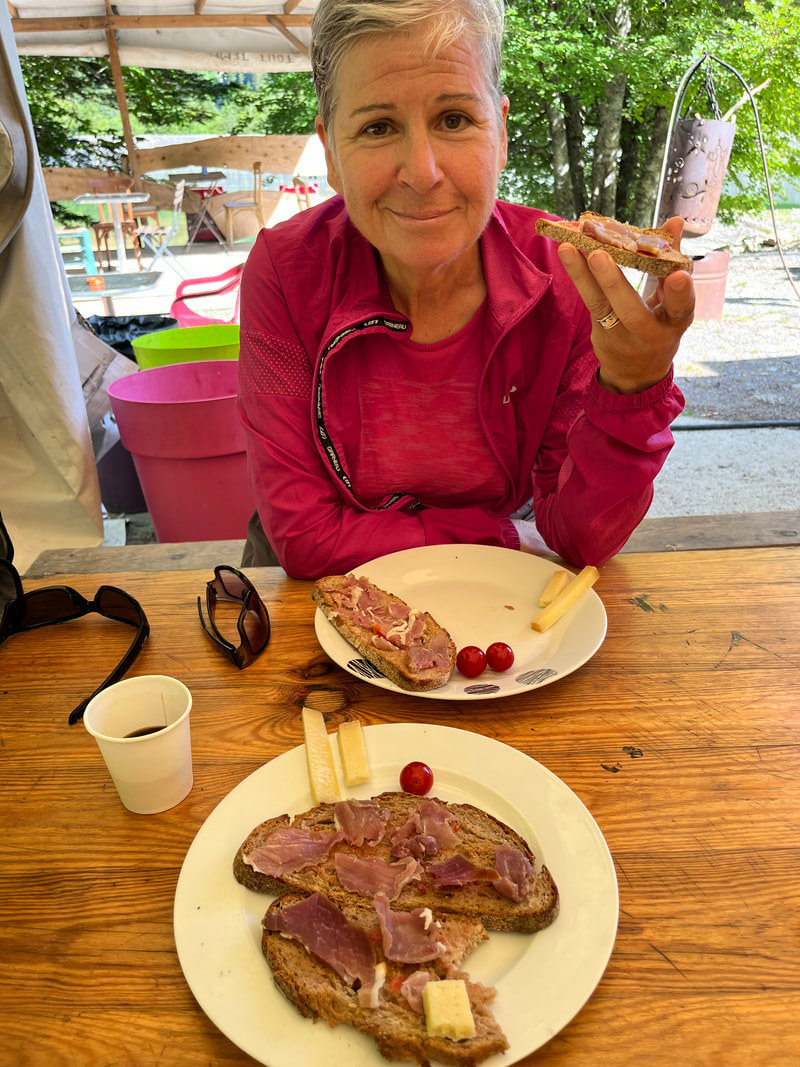
In Gabas the store was closed. We were running out of food but carried on. The GR10 then led into a national park. It being Saturday, it was busy with many day hikers. We could see why. The alpine valley had many picturesque lakes, and the views of the mountains were spectacular. At the top of a small pass, there was a buvette (snack bar)! A second breakfast seemed like a reasonable thing to do - coffee, garlic toast with prosciutto ham and cheese. Mmmm. |
|
Down into a deep valley we went. Etsaut was still asleep and so we carried on to Borce. There, the owner of the gite and convenience store made us coffee and we enjoyed fresh baked baguette and purchased supplies. Since we had descended, we needed to climb back up into the hills. We passed a farm house in time to see the shepherd and his 4 Patoux (Pyrenean Mountain dogs) start moving his flock of sheep.
There were signs everywhere warning hikers about the Patoux. They could be aggressive while protecting the herds from possible threats. We hurried past trying to avoid them. Later we met a runner that had been bittern (on his bum) by these dogs. In Lhers, the next hamlet, we booked ourselves into a quaint auberge. A shower, laundry and a great meal made all the difference for our weary bodies. It had rained all night and it was still raining when we set off. Soon we entered the next town of Lescun. |
|
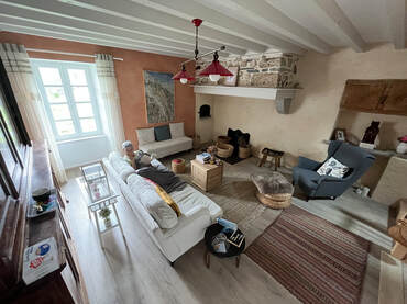
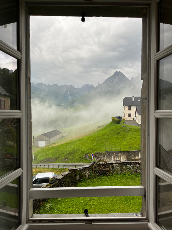
Our accommodations turned out to be a fully restored house, that we had all to ourselves. It was wonderful to sit with a cup of tea and enjoy the views, safe inside while the storms raged outside.
|
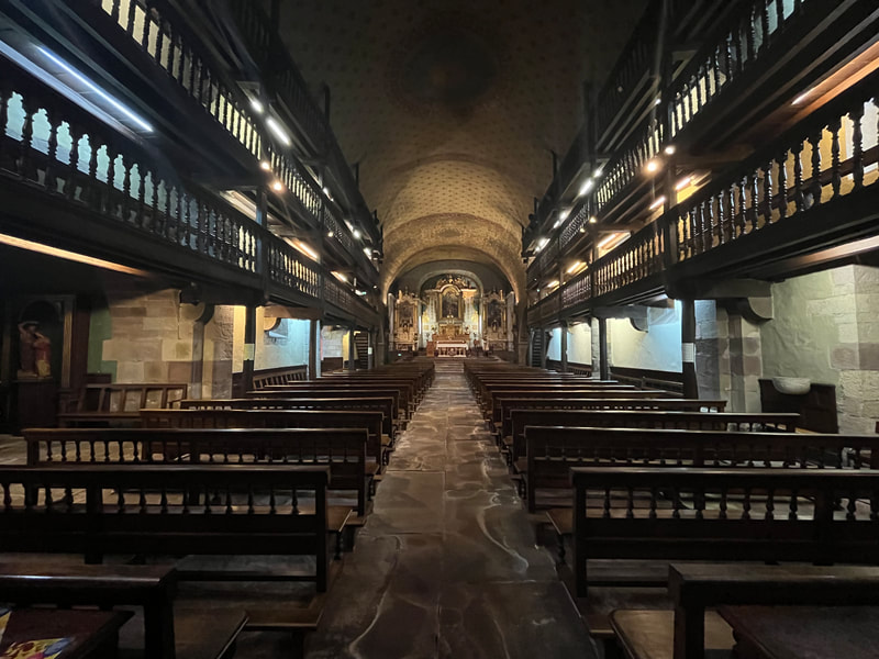
There was a large grocery store, but you guessed it, it was closed. The owner of an auberge said the store would open for sure on Tuesday, unfortunately it was Sunday. We were out of food, we needed to wait. We booked 2 nights at her auberge and decided to do some visiting. Lescun was situated in a cirque shaped by glaciers surrounded by limestone peaks. The hillsides were sculpted by hundreds of years of grazing. The town itself had many well-maintained stone houses and narrow streets. The small Sainte-Eulalie church, built in the 16th century, was beautifully restored.
|
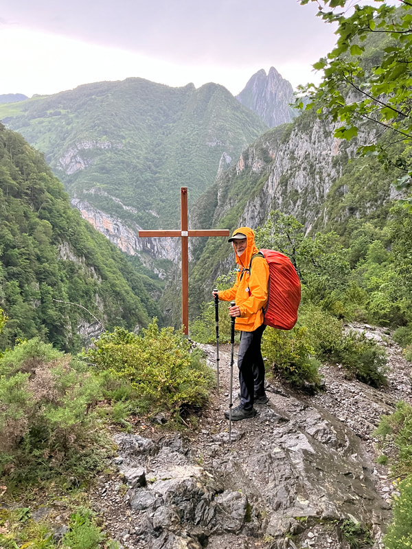
With enough food to last a few days, we said goodbye to Lescun and headed back in the hills. It was still raining, but we made good time. The thunder started just as we arrived at the Refuge-de-l’Aberouat. We sheltered ourselves and checked out the weather maps. We were on the shoulder of a big storm system. With any luck it would be moving away from us.
|
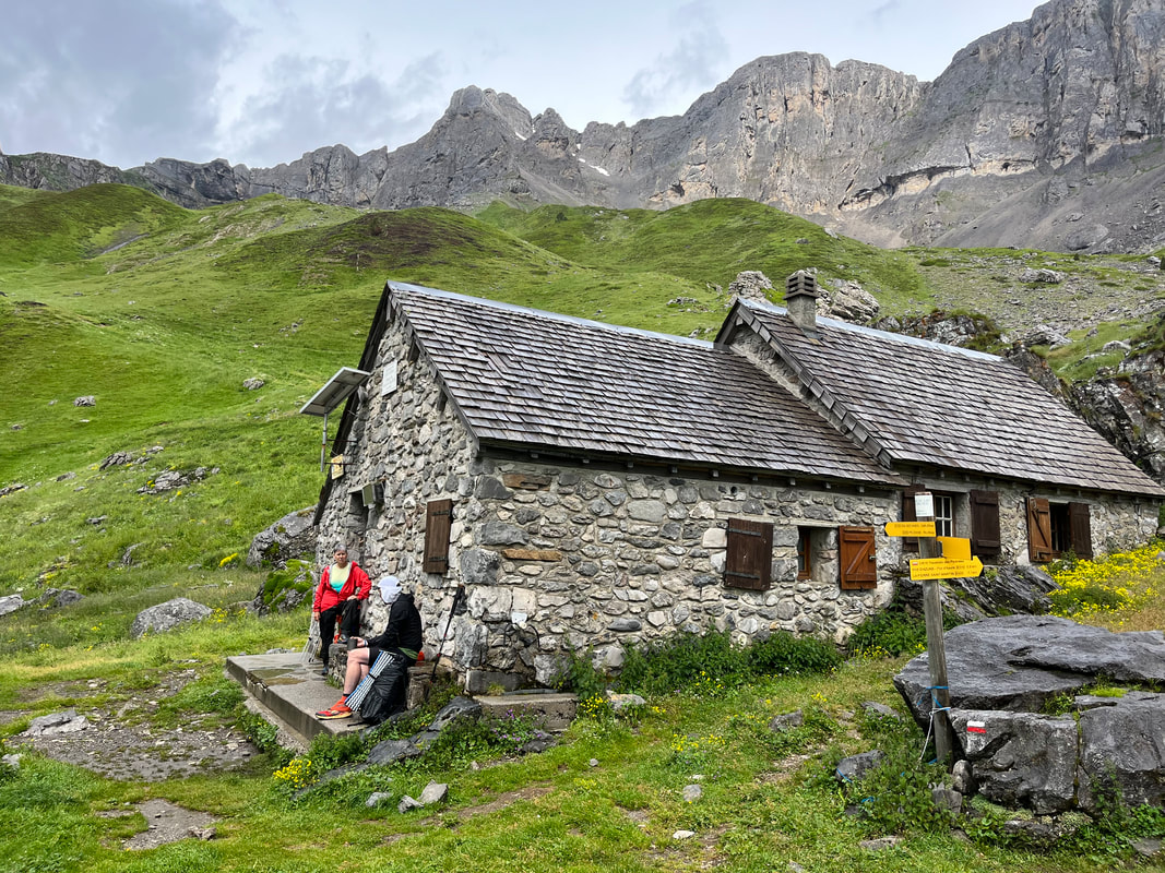
Once it felt safe, we carried on into a dense forest. As we popped out onto an alpine meadow, the clouds parted, and we could see the rocky cliffs near the col. We took a break at a shepherd’s cabane. Daniel, a German man, was having his second breakfast. He seemed so pleased we could speak English. He had felt a bit lonely because of the language barrier. We spent a good half an hour sharing intel on the trail.
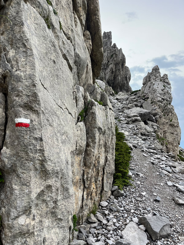
We climbed up into a rocky, moon-scaped meadow. There was a bit of rock scrambling in some areas, but luckily it had dried enough and was not slick. The last few kms were challenging. The rock formations made each step precarious and the going slowed significantly. |
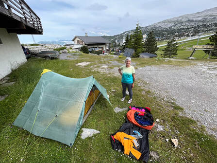
Once at the Refuge-Jeandel in the ski village of La-Pierre-Saint-Martin, we dried our gear while enjoying a cold beer and talking with all the other hikers. We found a spot for our tent, and after a super, we settled in for a good night’s sleep. We didn’t sleep all that well. The thunder started clapping right over our heads! Yikes, we felt vulnerable. As well, Julie got a phone call informing her that her dad had been sent to the hospital with heart problems.
|
|
The trail left the grassy slopes and crossed a dense forest and finally came out onto a road that led to St-Engrace. The host of the Refuge-Elichalt was not in a good mood. She seemed very upset that hikers had not reserved their stay, even for the camping (oops sorry!). She would show each new hiker the facilities, with less and less patience. At one point, she felt there were too many lights on and shut them all off muttering something about listening to the recommendations of President Macron. We all looked at each other feeling very uncomfortable.
|
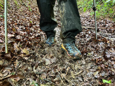
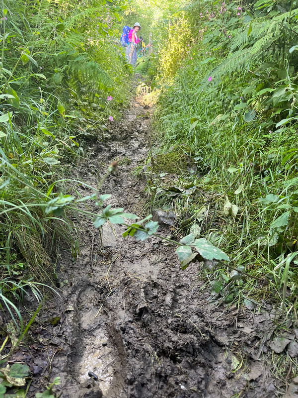
The next day’s walk was a relatively short day, some 4-5 hours. With all the rain, the trail was muddy and slick. We slowed our pace and enjoyed the views of the Pyrenees foot-hills. Although we realised that we were leaving the high mountains, we were still climbing and descending 1,000m or more every day.
|
|
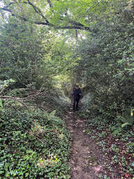
We got up early as we knew this was going to be a long hard day (nothing new). It started well enough with road walking. Road walking was not exciting, but it did allow us to keep a good pace and travel greater distances. If we weren’t on a road, we were in a gully/stream in a tunnel of trees. It was hot and very humid, and we soon were soaked with sweat.
The trail followed the height of land, and offered great views of the gorge we were going to have to descend into. But first we had to walk all the way to the end of a ridge and then take a goat’s trail down the steep grassy slopes. |
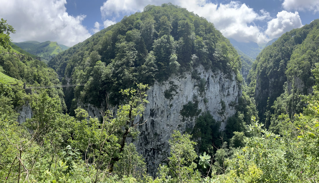
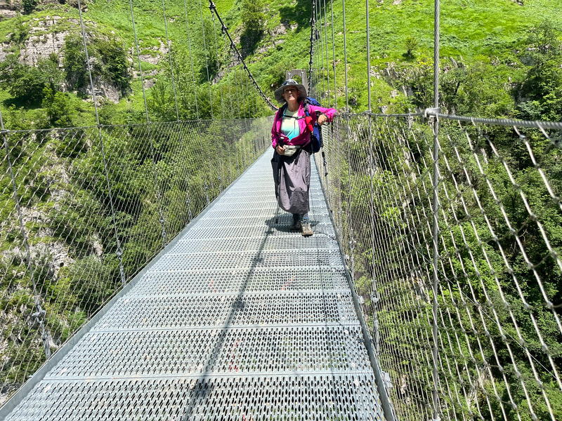
The closer we got to the gorge, the more day hikers we crossed. In this popular valley there was a suspension bridge, the Passerelle-d’Holzarte, which crossed the 150m deep gorge of Olhadubi.
In a few more kilometers we arrived at the Auberge-Logibar. We were ravenous. Beer, chips, and sandwiches put a dent in our hunger enough for us to be able to set up camp and have a shower. Ice cream and Oranginas gave us the energy to make our supper. We slept well in the grassy field next to the auberge, lulled by the nearby stream.
Hikers we met at Logibar, cautioned us that there was a steep, calf-deep mud section just ahead. This obstacle was 1-2 hours long and there was no way of avoiding it using the trail. A closer look at the map revealed that using an alternate road would lead us to the next refuge.
Although less exciting, we chose the road option. We would avoid the boot-sucking mud. In the early morning cool air, the walking was pleasant, but soon enough the beaming sun baked us. This road was steep (100m+ per km and 10kms long). Because of its steepness, it was very popular with cyclists.
Although less exciting, we chose the road option. We would avoid the boot-sucking mud. In the early morning cool air, the walking was pleasant, but soon enough the beaming sun baked us. This road was steep (100m+ per km and 10kms long). Because of its steepness, it was very popular with cyclists.
|
As we walked, we discussed what we would like to see at the top of the climb. This was often how we would distract ourselves during hard sections. Julie suggested shade, a cool breeze, and a stream - nice. Simon dreamed of a buvette with cold beverages and chips!
That’s going too far into fantasy… As we crested the col, there it was, a full restaurant! Well done, Simon! Cold beer, chips and sandwiches hit the spot! The Chalet-d’Iraty offered a restaurant, chalets, and a grocery store. When we arrived, the store was closed (go figure) for lunch. We sat in the shade and waited for it to reopen. It was worth the wait as it had all we needed and more. Chips and pound-cake seemed like a perfect option for breakfast, don’t you think? We bivied that night near a small lake and were lulled to sleep by the sounds of cattle bells nearby. |
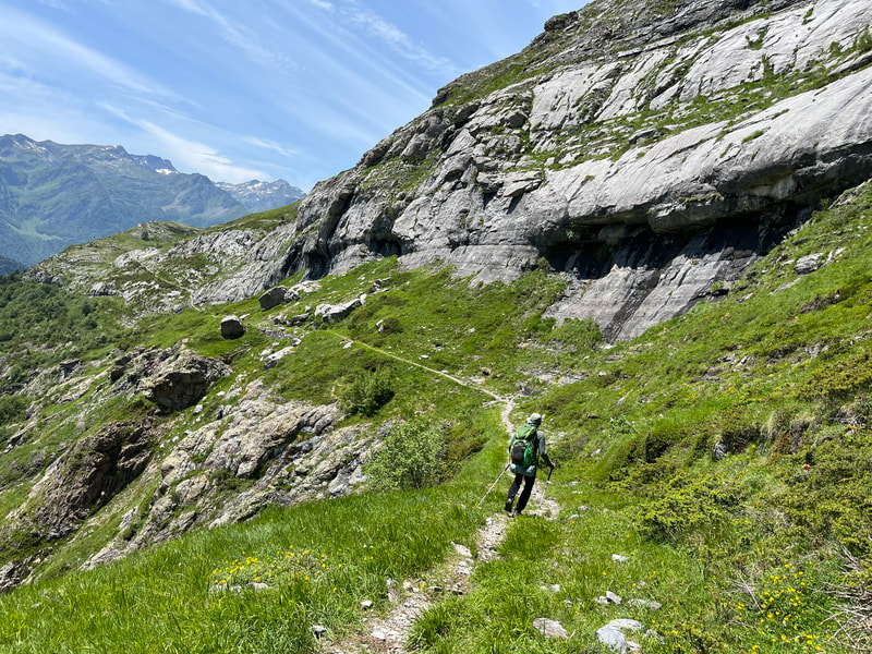
The trail climbed back up into the hills. The walking was easy and the views spectacular. We shared the grassy slopes with sheep, unphased by our passing and luckily no Patoux. We could see the town of Esterencuby deep in the valley below us. To get there the trail descended on narrow, rocky goat paths.
|
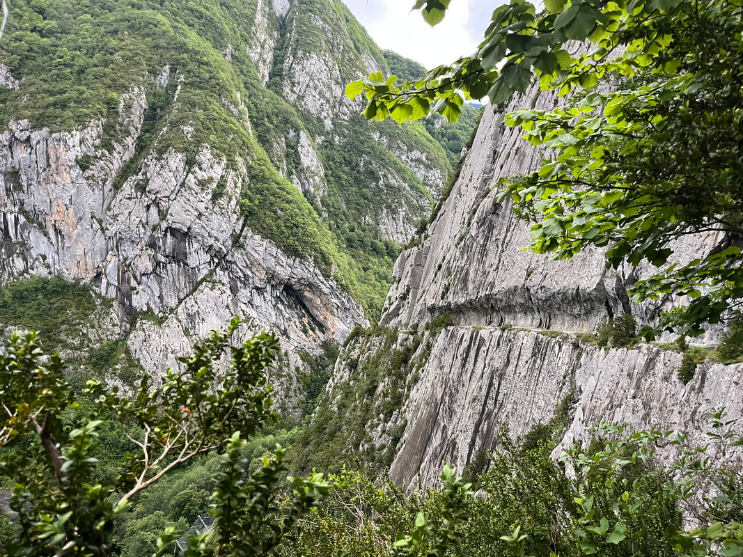
You may think this is an exaggeration, but it is not. There was barely enough space for our boots on the track. Either side offered an abyss or a rock wall. Rule #1 don’t look down into the abyss. Rule #2 don’t slip! We met many hikers and had to navigate their passage by scrambling up the slope.
Our legs were burning by the time we reached town. There was no campsite as suggested by the guide book. But the auberge had rooms and it offered a demi-pension (supper and breakfast) option. There’s nothing like a shower and good food to brighten your day! Julie got a phone call from the hospital; her dad was stabilised but held for observation for a while. We slept well that night. Next morning, we did not even notice the steep climb we were on as we fumed about the medical system and how out of control we felt regarding Julie’s dad’s care. It was only when we crested that we realised how fast we had walked! Note to self, when struggling with a physical effort, find that deep well of anger within yourself and it will provide the necessary fuel. |
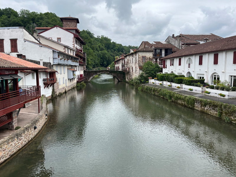
We had planned a zero day in the next city. St.-Jean-Pied-de-Port was the start of the Camino-de-Santiago. It was filled with tourists and hikers. Julie was wished many ‘buen Camino’. Her long skirt and big hat made her the quintessential pilgrim.
|
The GR10 climbed up to another ridge and it summited Mount Munhoa at 1021m. We were in the clouds and had a hard time finding the trail markers. We reached the town of St.-Etienne-de-Baigorry after countless high passes. We ate pizzas at a bistro and settled in at the community campground. It stormed all night.
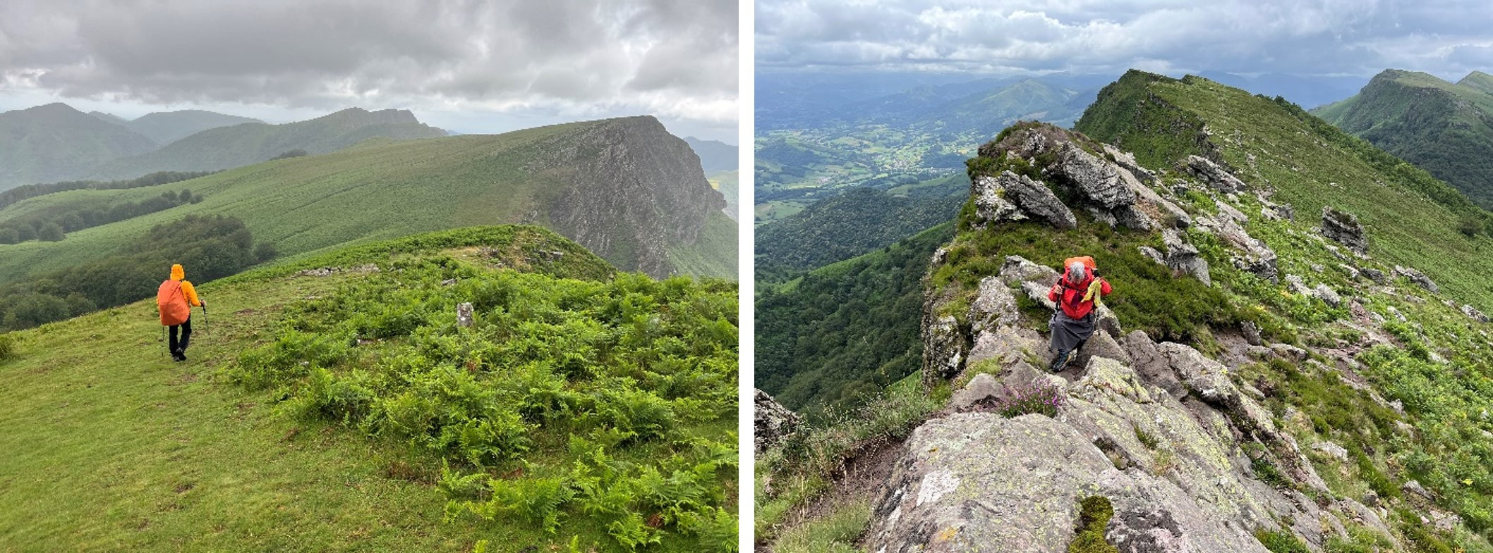
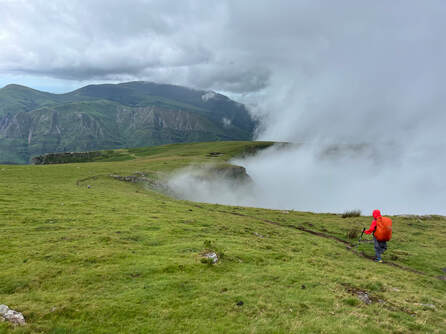
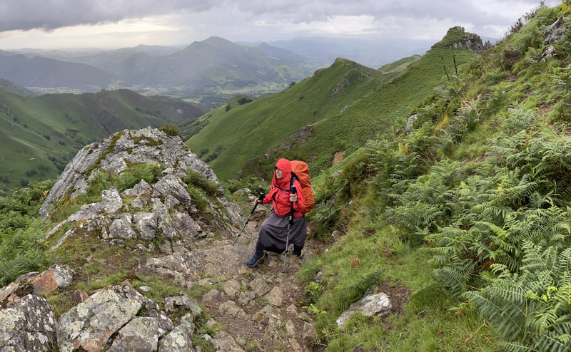
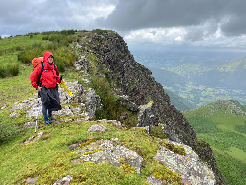
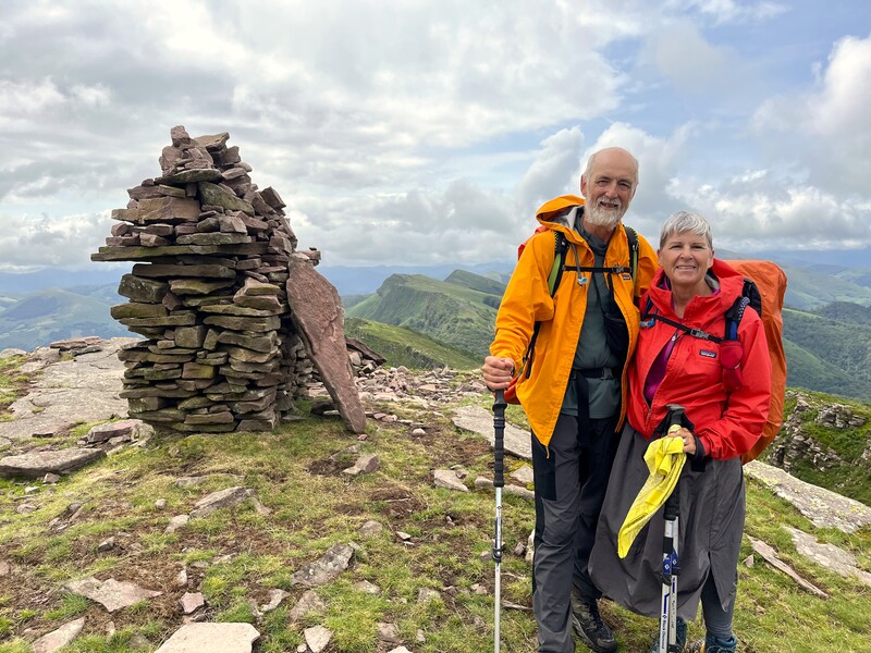
As we climbed up to Iparla ridge the next morning, the rain was still falling. The track was muddy and slick and the ferns on either side of the trail brushed us with their load of water. When the clouds parted, we could see the trail ahead following the ridge and its 9 summits. The guide book suggested 8Hrs (in good weather) with a 1,300m+ climb and 1200m decent. Did they consider all this up and down, or did they calculate the elevation gain/loss only from the highest peak? We needed to complain to the authors when we got home! |
|
The climbs were tough, but the descents were painful. Julie’s knees did not want to bend anymore. Large boulders and mud were mixed to form this dangerous track. With every step down, we could feel the jolt of our bodyweight hitting our joints. We had planned on cutting this long section but with the bad weather, there was no way to bivouac safely on the ridge.
As we entered Bidarray, we crossed paths with folks getting ready to tackle the ridge the following day. Many had chosen to take a variant which was highly recommended during bad weather. They were amazed that we had completed the entire ridge in one go, in bad weather. We were amazed that there had been an option of a variant?! |
|
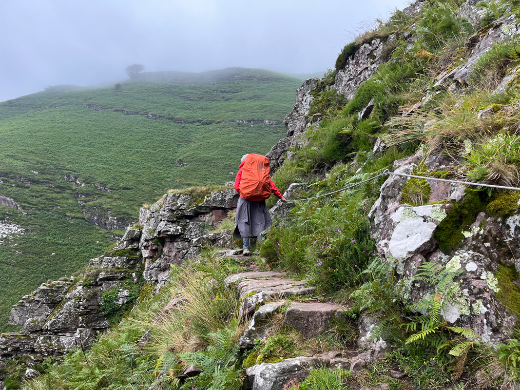
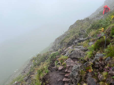
We did not want to get up the next morning. It was still raining, and our legs felt like led. But we did eventually get going and climbed out of the valley onto the next ridge. The trail narrowed and became a goat path. There were chains on the more precarious sections as a help. Thank you so very much!
We crested the steep climb, wet with sweat and mud. This ridge was a very similar to Iparla with a smattering of summits. Gradually, we descended on farm tracks and trails and passed the Stele-Discoidales-de-Xareta, a chapel to commemorate the Stations-of-the-Cross. (An aside here, we were in Basque country and all the names were very hard to pronounce.) |
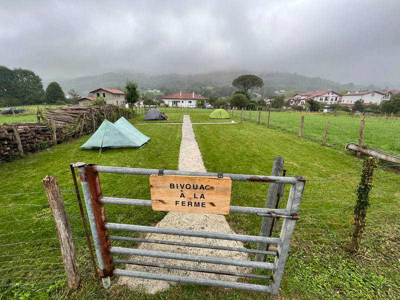
Ainoah was one of 2 ‘most beautiful villages of France’ in the Basque County. It was charming with well maintained medieval houses and a stunning cathedral. A local farmer had opened a campsite in one of his fields. He had built a shower, toilet, and a kitchen. All for 10 Euros. We were not alone camping in this great spot and got to share stories with other travellers. One in particular was Dominique (Minouche to his friends) bought us a beer to celebrate Canada day.
Our next day, we set off in the rain and headed to Sare (the 2nd prettiest village in France of this region). We stopped in the town square and had a coffee with a Basque cake. Dominique arrived and shared our table.
|
Simon had a head cold and Julie’s knees were complaining a bit more than usual. We said goodbye to Dominique and sat at a bus stop and discussed our options. To reach Hendaye, we would have a really long and hard day. The bus ride sounded better and better.
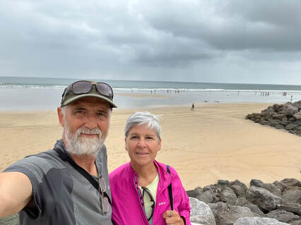
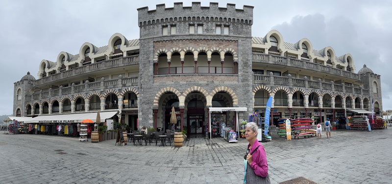
Arriving in Hendaye, the weather changed dramatically. The sun was out, and everyone was at the beach. We booked a small hotel and lounged around. The day before heading to Paris we did a recon of the train station. Who did we see there waiting for his train? Dominique. We wished him good travel and he offered to host us next time we were in France, maybe to walk the GR34? Another seed had been planted in our ever-growing garden of trails to hike. |
|
The flight home was long with many delays, but when we unlocked our apartment door, our sweet little home greeted us and invited us to rest. Home, what a wonderful thing. 2 days latter Simon was off on a 3-week motorcycle trip. You just can’t keep a good man down!
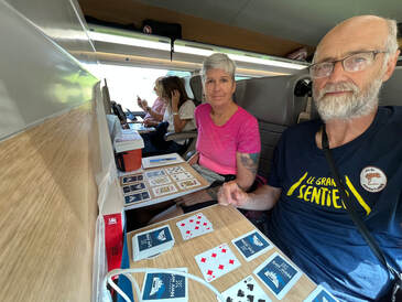
N.B. 237 games of cards, 20 tied games and Simon won with 28 more wins than Julie! |
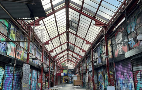
The TGV (frekin’ fast) train got us to Paris where we had a 2-night stay in a small hotel near the Gare-du-Nord. We were so tired that all we could muster was a short walk to the Marcher-aux-Puces (Malik). We had memories of this bustling area of flee market stalls and antique shops. But you guessed it, it was closed.
|

