|
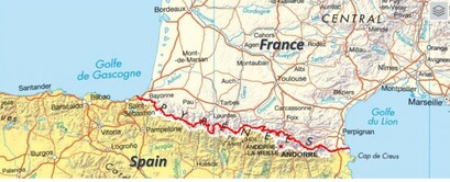
Our nephew, Ambroise, suggested the GR10 (Grande Randonnée 10) for our next adventure. This trail ran the length of the Pyrénées Mountains. It covered 866 kilometers, with 48,000 meters of ascent and, given the coast-to-coast nature of the route, the same descent. This trek would offer physical challenges, beautiful vistas, and some cultural and gastronomical perks. It sounded perfect!
The guide books delt with each section by distances and estimated time of travel. We found out, once on trail, that the timing noted was pretty accurate and predictive of the level of technical challenges we faced. We planned 45 days on the trek, including 5 days of rest. |
The GR10 route
|
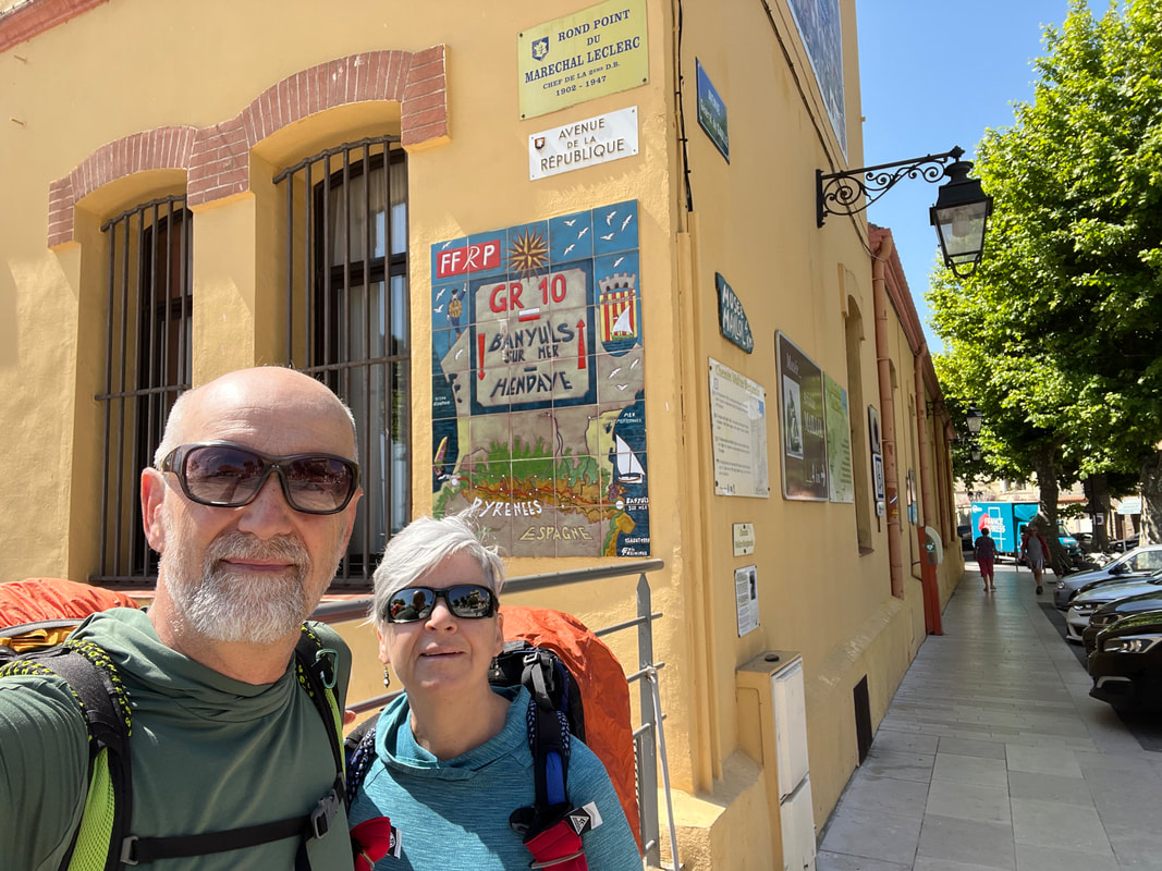
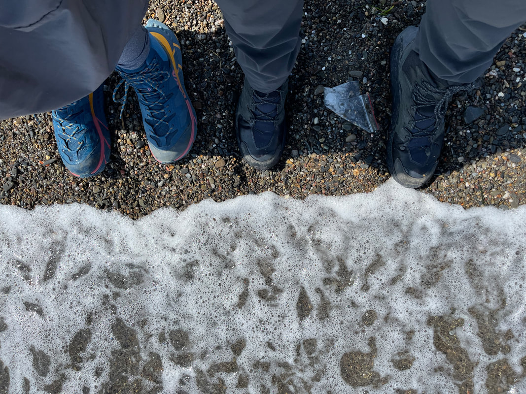
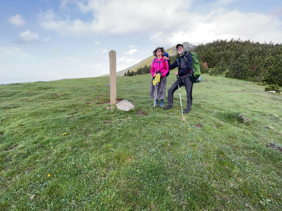
We are standing at the town hall, the GR10 start/end
|
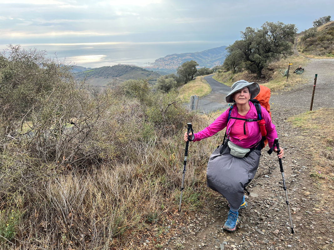
We arrived where the GR10 started in Banyuls-sur-Mer, on the shores of the Mediterranean Sea. After a lovely stay in the Clos St. André where Laurent, our host, made us feel at home, we set off early the next morning. The trail started climbing right away and did not stop. All in all, on our first day, we walked 22 kms, climbed 1,400m and descended 800m.
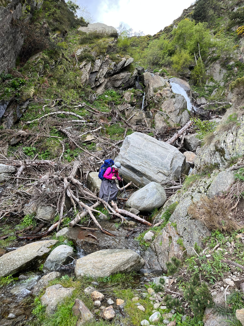
At the refuge Tagarede, an old stone hut, we stopped to warm ourselves with hot drinks. It had been raining heavily and we were soaked and chilled. The decision was either to stop here or carry on to the next refuge some 5 kms further. It was early and so we set off on the ridge hoping the terrain would level off and that the storm would pass. Neither happened. |
|
When we finally saw the refuge d’Artene at the Col-de-l’Ullat, our first day, and our legs were done. The host, Michel, showed us where to set our tent and we ate the hikers’ meal that night. It did not disappoint warm camembert, salad, pasta, and goat yogurt with honey for dessert.
The next few days were similar in distance, elevation gain and loss. The weather turned to hot and sunny. The steep climbs took their toll on Julie. She suffered from heart palpitations that caused her to hyperventilate, feel weak and faint. We stopped often to rest and slowed our pace. But what helped the most was taking salt tablets. She was sweating too much and drinking lots of water, causing her to become hyponatremic (water intoxicated). |
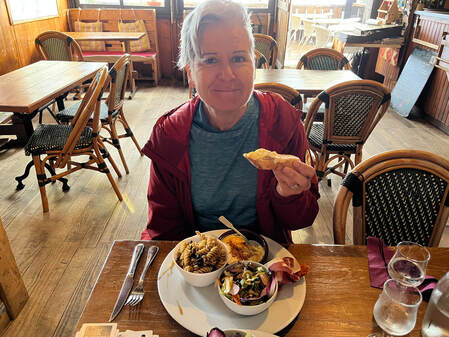
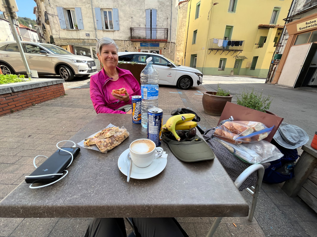
Julie enjoying one of many great meals served in alpine hostels!
|
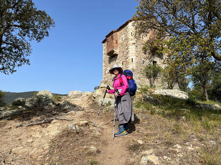
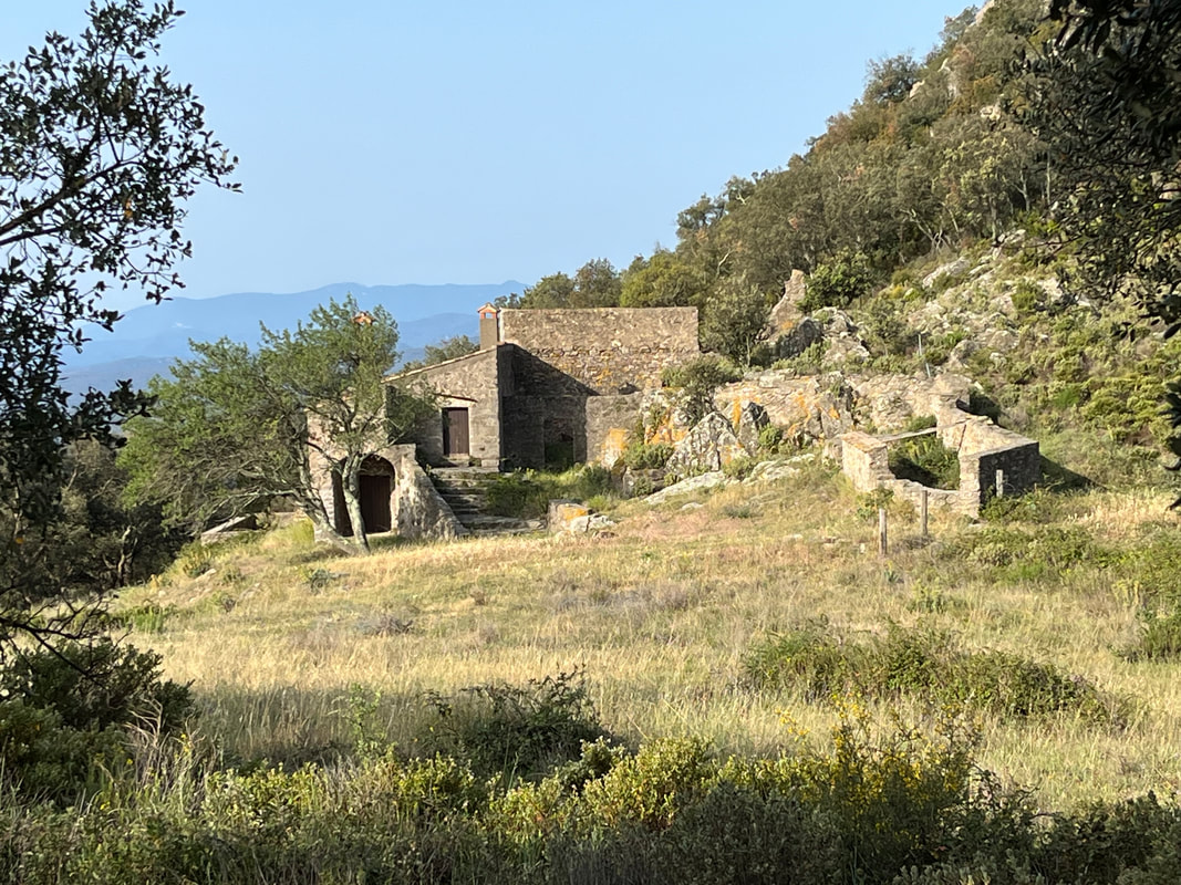
One of the outposts of the Bellegarde Fortress
|
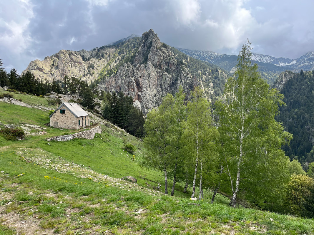
The trek mainly followed the height of land that was the border between France and Spain. It was one of the world’s oldest defined separating lines, established since the 17th century. We saw signs of old military forts along the route. One of these was the fortress of La Bellegarde, a bastion of the 17th century, that was still in relatively good repair.
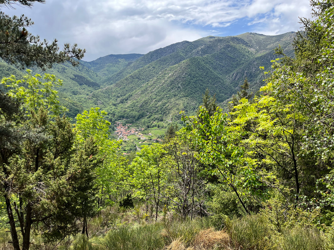
Our destination that night was Las-Illas, a sleepy hamlet in a deep valley, where there was a grassy field reserved for camping. We met a few other hikers and got some intel on the trek ahead. The following day was long and in the late afternoon we searched for the auberge. The signage was confusing, and we could not find it. At 6pm we set up our bivy by a stream. There was just enough space. We were happy to be in the valley as there was another thunderstorm later that night. |
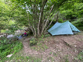
Our quasi-flat bivy spot - love the stream though!
|
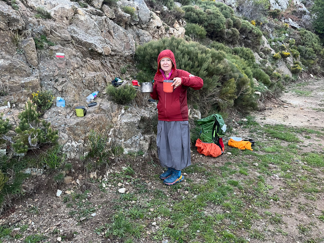
In Arles-sur-Tech we purchased supplies. We took advantage of these historic towns, we ate a meal in the town square, and talked with folks. We stopped early, having only walked 17kms (climbed 1,200 m and descended 800 m). At the Refuge-de-Batere, we enjoyed a beer and a charcuterie plate and then set up our tent. We were alone camping as the other hikers opted for the comfort of the gite.
|
Climbing to the ridge after the Refuge-de-Batere
|
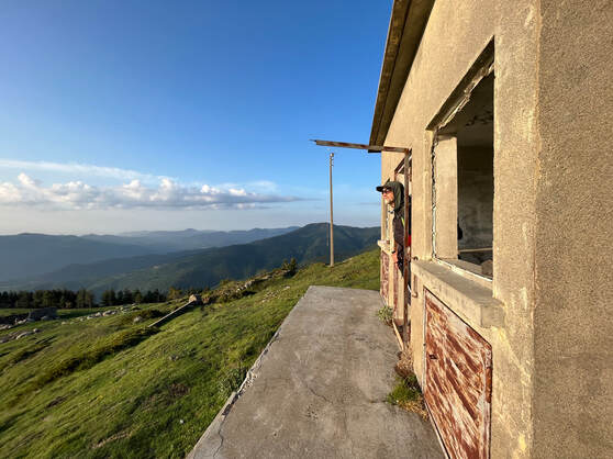
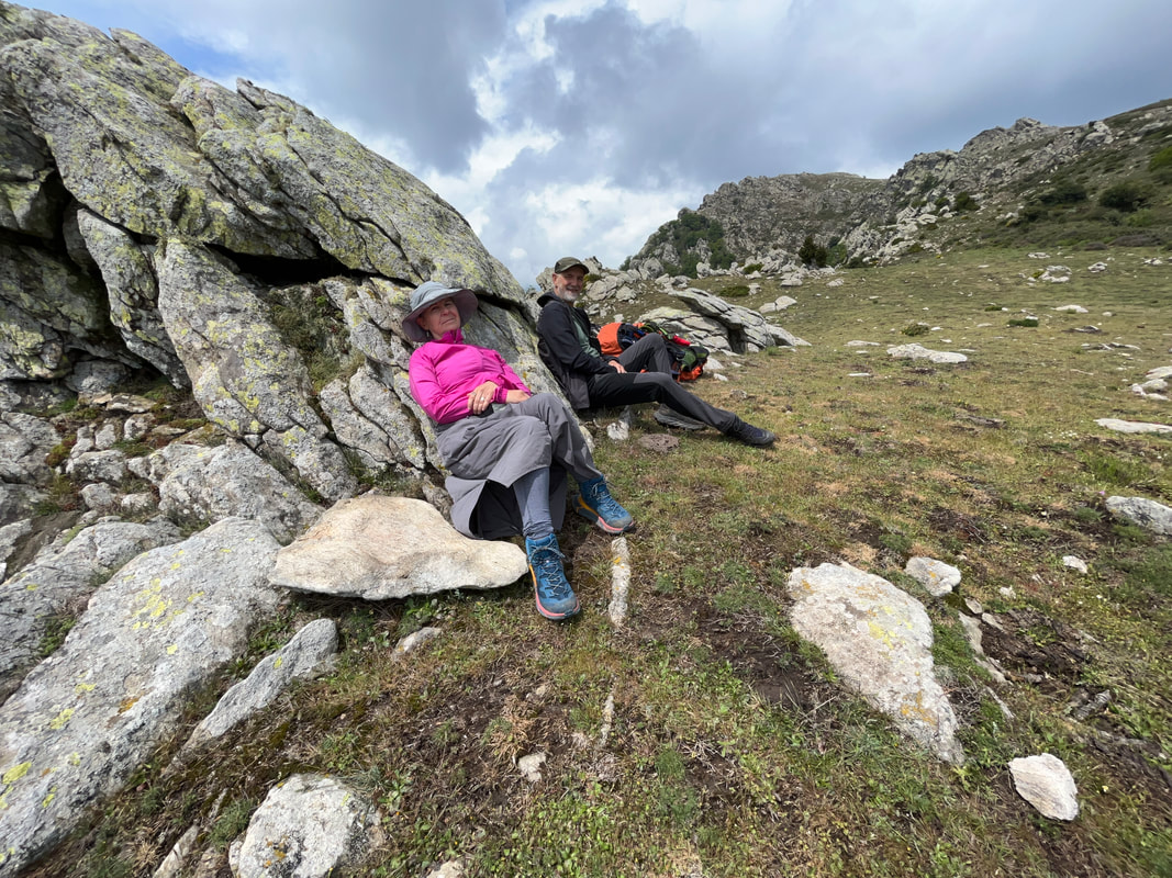
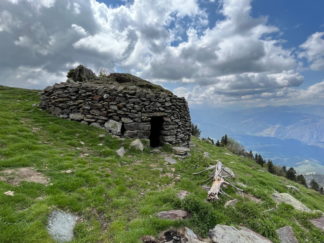
Enjoying the views and the many 'cabanes' along the way.
|
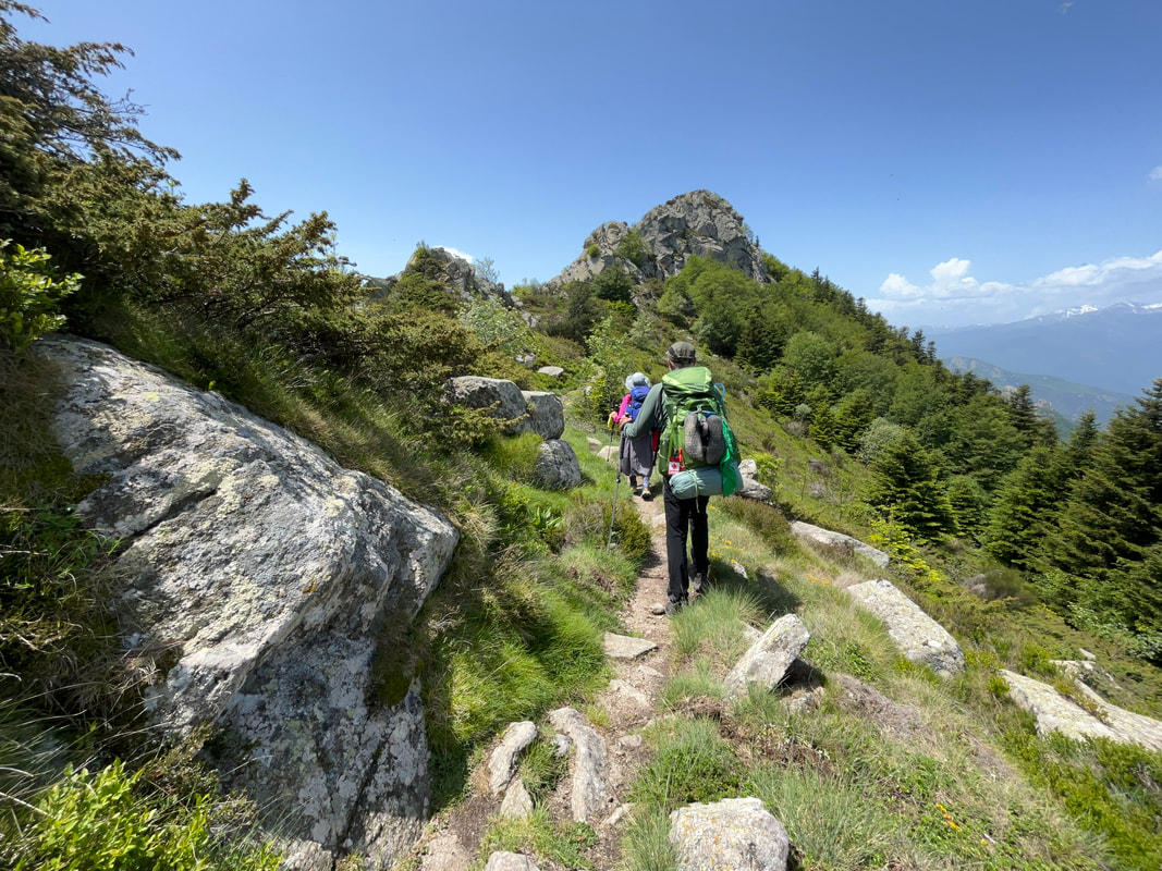
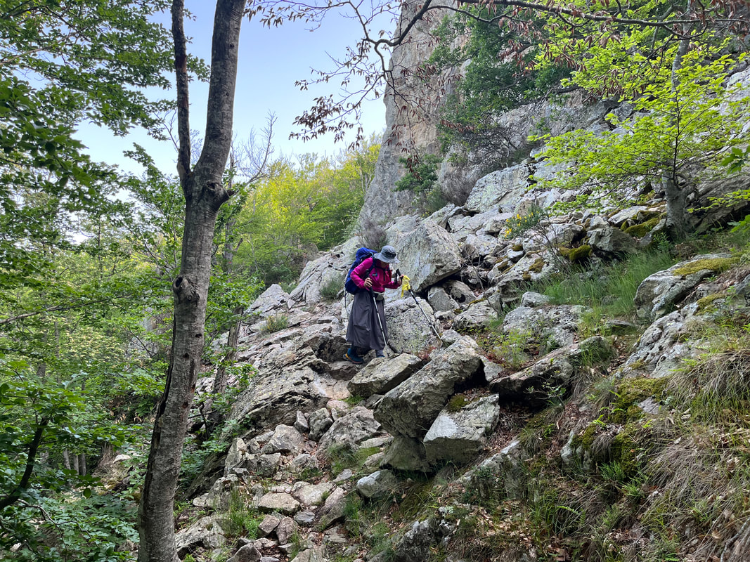
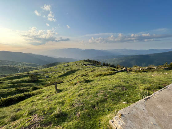
We were getting used to the terrain. We had found our rhythm, our legs, and hearts managed better the challenges of ridge walking. Every day we seemed to reach high cols (passes). On this particular day, we stopped to admire the view from the Col-de-la-Ciera at 1,731 m. The rolling terrain was flourishing. We could see horses and cattle grazing on the slopes, their bells filling the air with their musical tones.
At the Refuge-des-Cortalets (2171 m) we stopped and had a cup of tea and a Basque cake (delish) before continuing our journey. The host warned us that the high passes were still covered with snow and that the trail was treacherous.
At the Refuge-des-Cortalets (2171 m) we stopped and had a cup of tea and a Basque cake (delish) before continuing our journey. The host warned us that the high passes were still covered with snow and that the trail was treacherous.
The snow levels were lower and the weather patterns were changing for the worst after the Refuge-de-Cortalets!!
|
Proving her point, we passed through a few patches of snow to reach our destination of the Refuge-des-Bonnes-Aigues. The stone hut provided a spectacular spot for our evening meal. On tonight’s menu was soup, cheese, sausage, and baguette. Our appetites were increasing, and we were mindful of our caloric intake.
As we relaxed in our tent later in the evening, 4 hikers arrived and settled into the refuge. We could hear them preparing their meal and talking about us. They thought we were English, as we had gone to bed early (8pm)?! It was true that we preferred to go to bed early because we liked hiking early in the morning when the air was fresh. The French seemed to prefer having their evening meal late (8-9ish) and sleep in until the heat of the sun was just right for them. |
Enjoying our meal with a view at the Refuges-des-Bonnes-Aigues
|
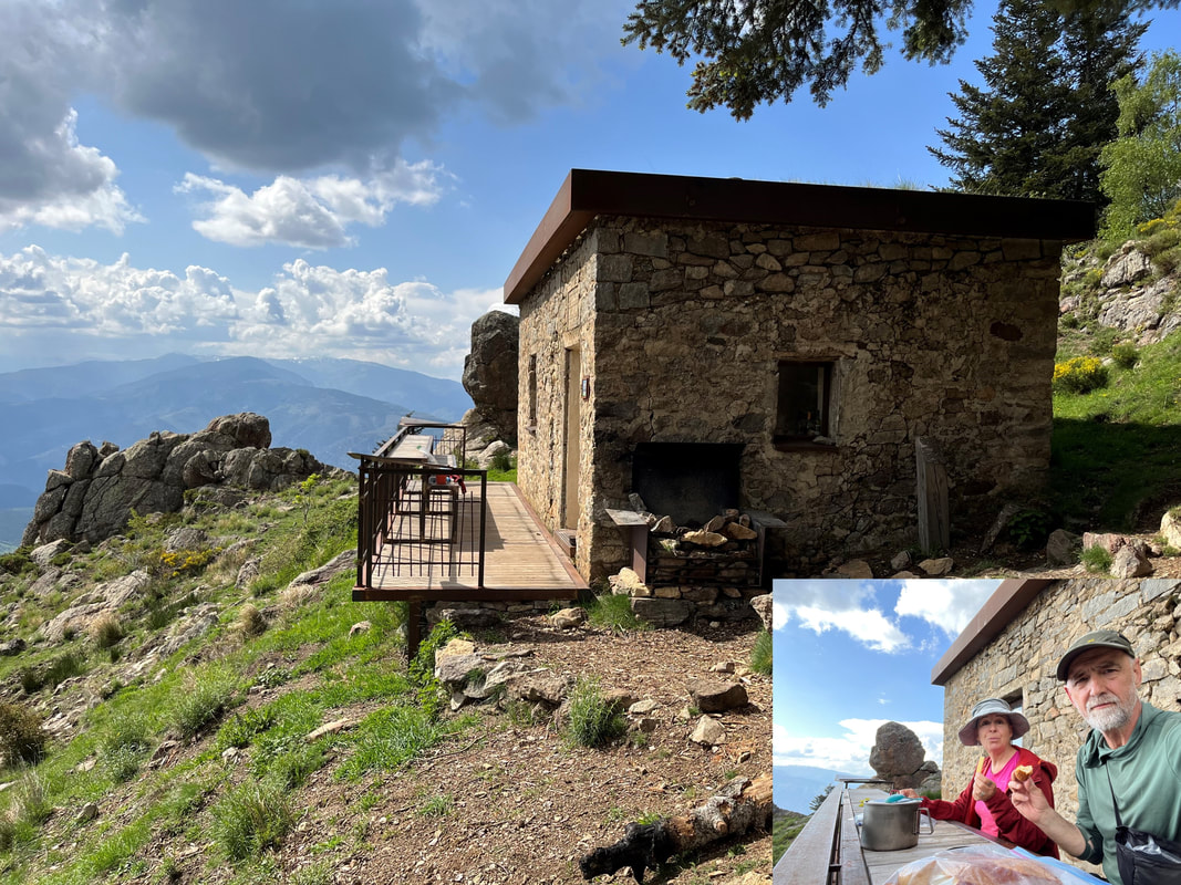
Some of these shepherd building are pretty fancy - but always in fabulous spots!
|
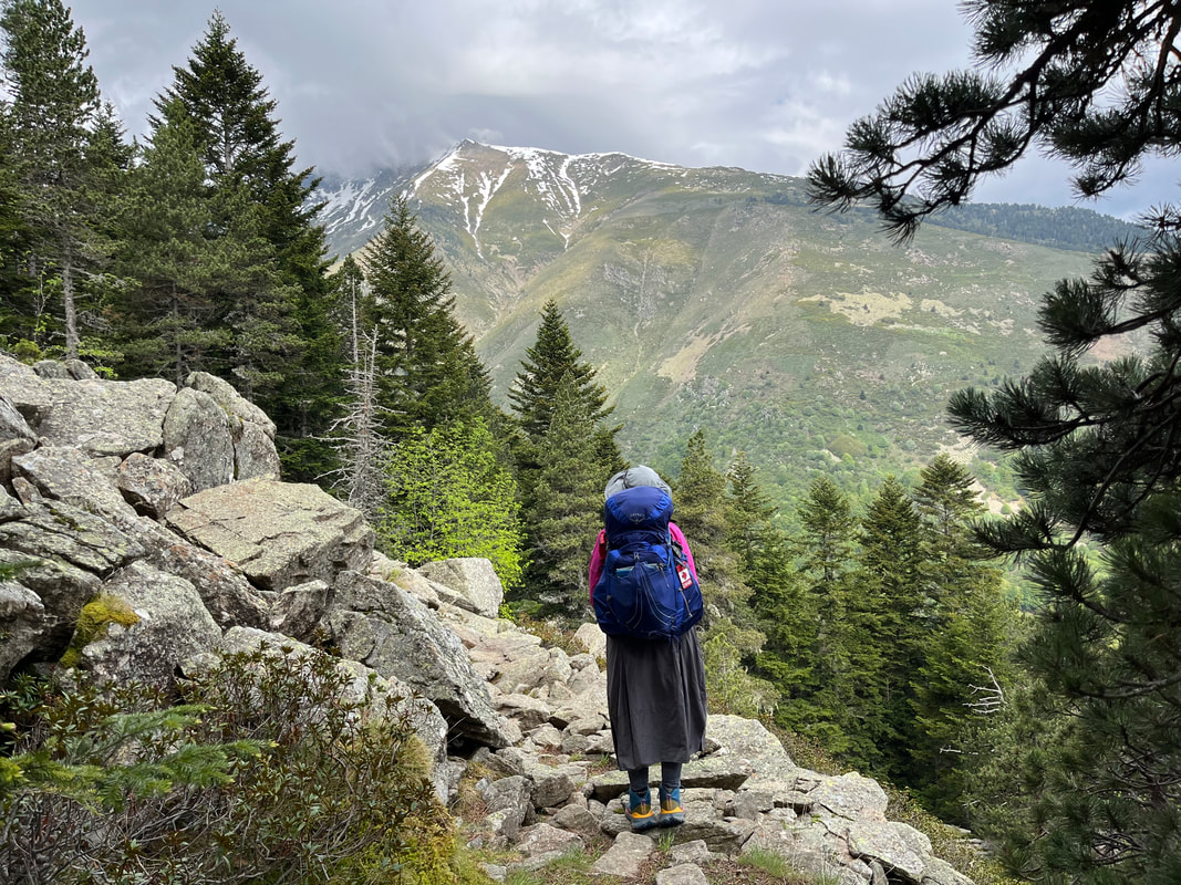
The trail led us up many more passes, the highest up to now was Jacca-d’Envernet at 2,061 m. It was a popular trek with hikers doing the Circuit-du-Canicou, a massif of 2,785 m. By the end of the afternoon, we reached the Refuge-de-Mariailles. We had been dreaming of an Orangina and a snack. But the refuge was closed. We sat in the grass and ate our nuts and dried fruit and looked at the weather. A storm was brewing. We pushed on to reach Py, a low-lying village, where we could seek some protection against possible high winds and thunder.
The descent was slick with mud and very steep. This 5 km section took us over 2 hours. When we arrived in town, we found the small grocery store. Big surprise (not!), it was closed. A local man walked by, and we asked if he knew when it would open (there are no signs indicating store hours anywhere in these small villages). He was kind enough to call the owner, who came down. He was having a party and had closed his store, but he opened it for us, and we were able to purchase supplied and Pringles and Oranginas. What a treat! |
We set up camp in the children’s park in town. It was a flat, freshly mowed lawn with a toilet and a tap for potable water, this made the spot a ‘Taj Mahal’ of a camp! Another hiker camped here as well.
Joost, from Amsterdam, was heading out. The high passes just beyond Py were covered in deep snow. This and the coming 2 weeks of storms had made him decide to pack it in and go home. We had been thinking the same thing and decided to join him on the local bus back to Perpignan the next day.
Joost, from Amsterdam, was heading out. The high passes just beyond Py were covered in deep snow. This and the coming 2 weeks of storms had made him decide to pack it in and go home. We had been thinking the same thing and decided to join him on the local bus back to Perpignan the next day.
The village of Py - tucked deep in the valley
|
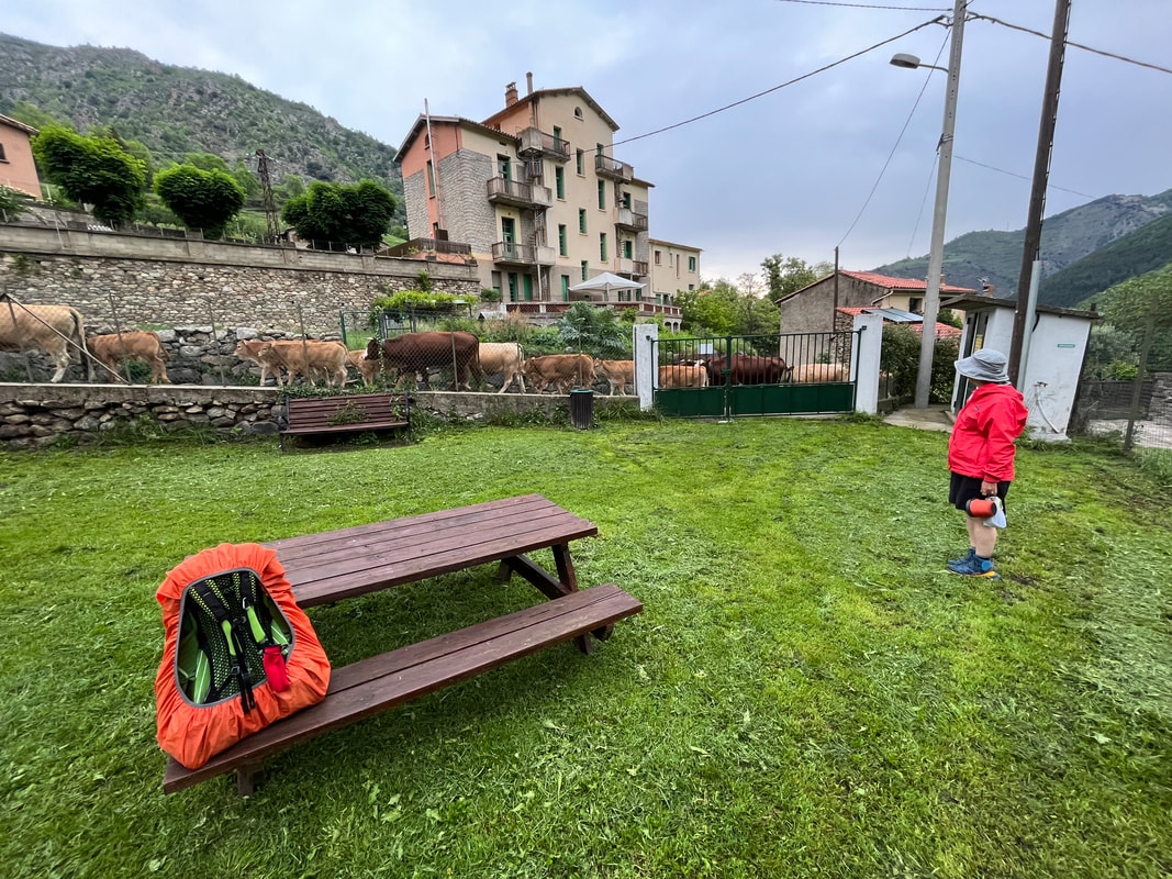
Before leaving the campsite in PY, the herd was in transit
|