|
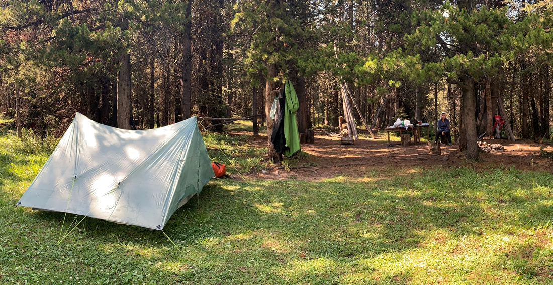
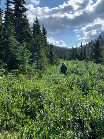
The first half of Day 10 was slow going. Crossing the city of Coleman, we kept missing the turns and having to double back, it was frustrating. Eventually we got back onto the mountain paths. We stopped by a stream for a break and met a young Calgary couple. They were part of the trail building crew that redesigned a large section now called the High Rock Trail. We thanked them for their hard work and were off on our way. After a zero day, we were tackling a 30 km, 1300 m ascent day with 3 passes. Our destination for the night - Window Mountain Lake. It turned out to be another 13 hour-plus day. A refreshing swim in the lake made our weary spirits feel much better and we slept like logs that night.
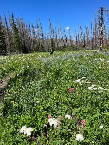
Morning Alpen glow on the lake and surrounding mountains was spectacular. On our 11th day, after coffee, we kicked off at our usual 7:30 (ish) start time. |
|
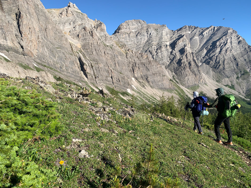
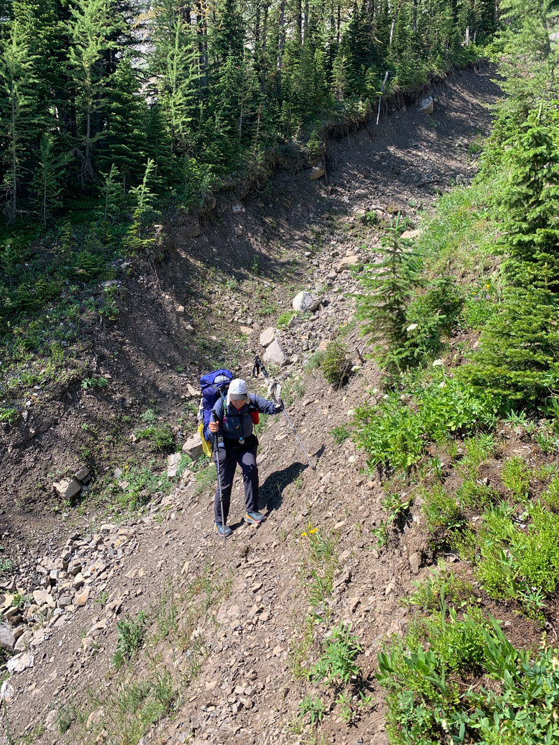
First, up the scree slopes to exit the lake’s basin, then more climbing on old tracks and finally beautiful switch-backs up grassy slopes that overlooked the High Rock Range. The views and the fresh breeze kept us motivated as we crested the daily allotment of passes. The final descent into the Dutch Creek area seemed unending. We met a family on horse back. Their horses were very adept in this rugged terrain. But they caused a lot of damage to the trail, creating deep ruts that made the going even more challenging.
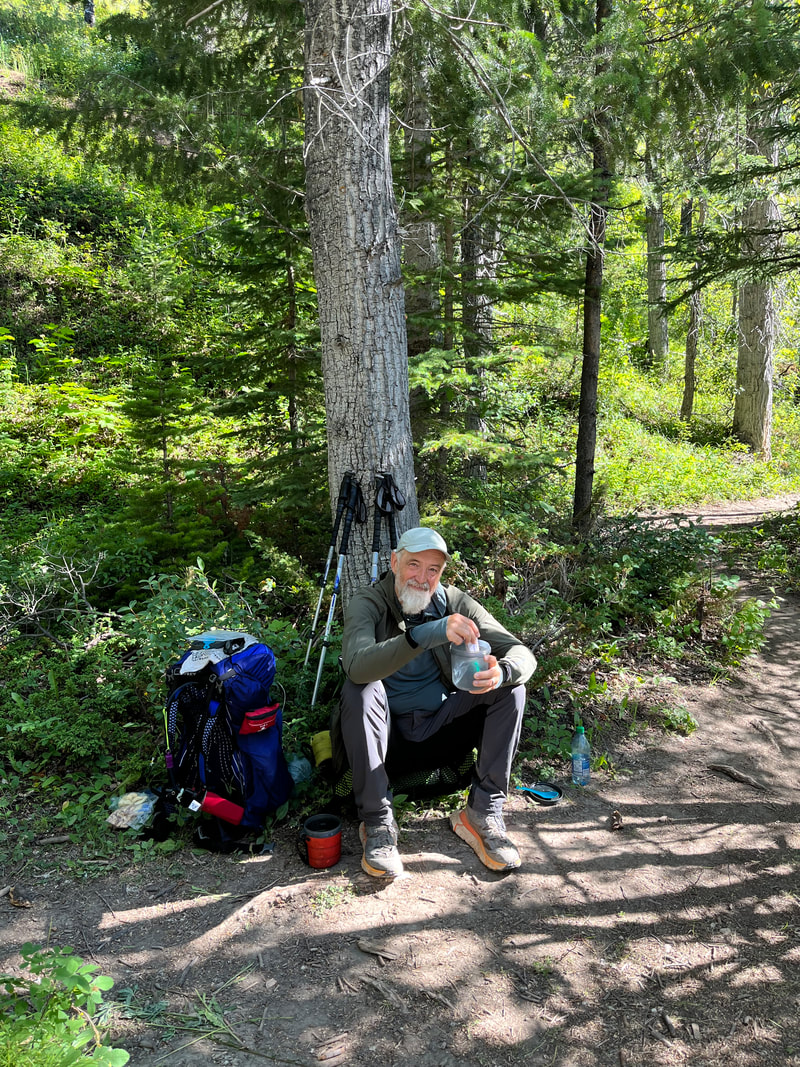
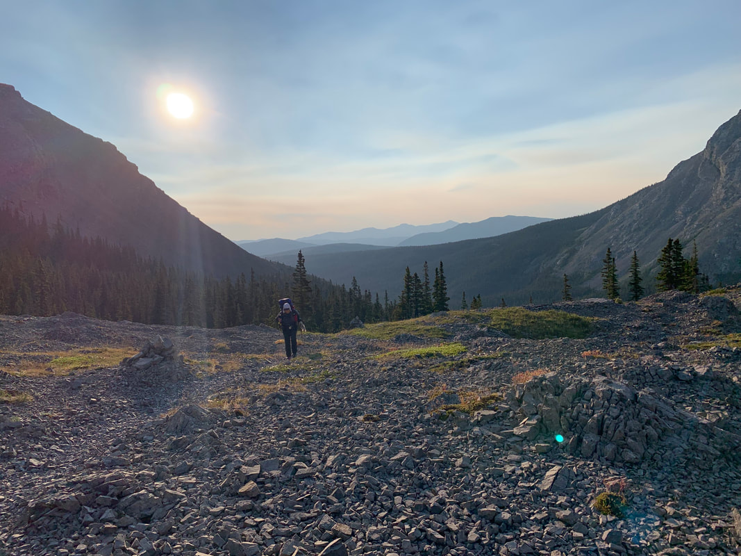
We found our first wilderness cache, hidden in the trees by Dutch Creek. It was untouched and held our supplies for the next 6 days. Our packs went from 9/8kg to 15/16kg (20 lb to 35lb) within minutes. The next morning (Day 12), we opted for the ATV track for a first short section. It would allow us to conserve our energy for the upcoming climb. Today we faced Tornado Pass and Ridge. |
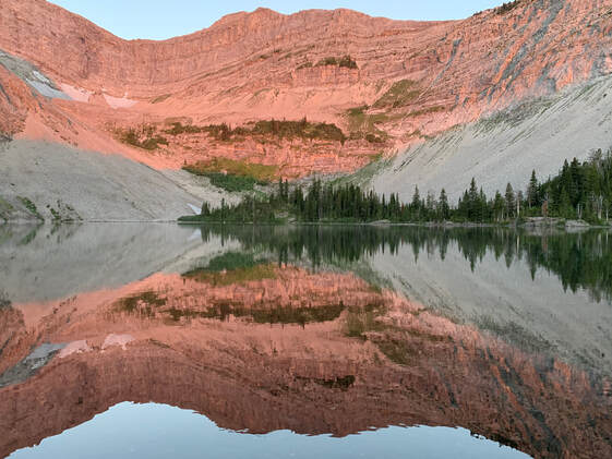
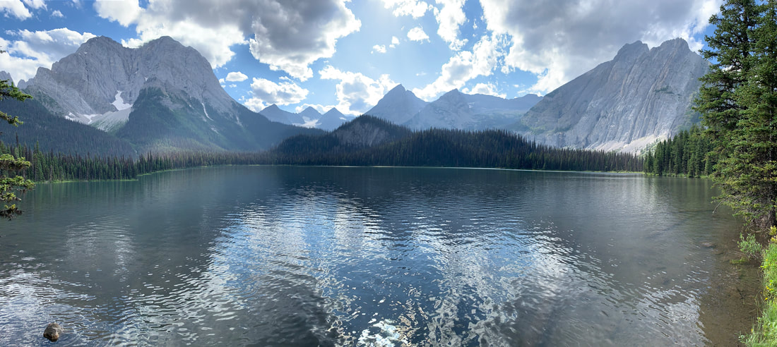
Window Lake in the morning
|
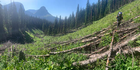
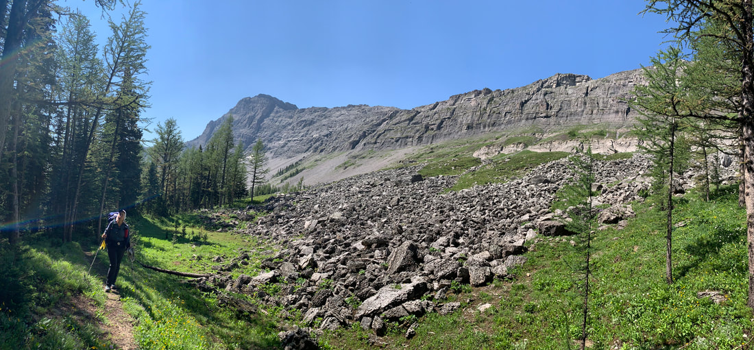
One of many avalanche debris areas...
|
The going was rough, the valley was deep, and we encountered avalanche debris everywhere. The downed trees covered the trail in dense tangles. Our progress was painfully slow. Eventually, we arrived at the pass. Once in the alpine meadow, the trail thinned out and disappeared. We used our GPS and wound our way along the steep grassy slopes.
Ahead was my worst nightmare. A long climb of loose shale up to a high ridge. I am afraid of heights and this type of unstable and exposed terrain terrifies me. |
|
There was no way to avoiding it. Simon set out first, zigzagging his way up the very loose shale toward a rock band where the footing might be better. It was not; the rock was rotten and crumbled upon contact. I kept my distance and chose my own path up the steep slope. With my head down, I focused on my footing, one step after the other. Slowly we made it up the ridge. We were thankful that the weather had held. Storm clouds had started to gather. We managed the steep, grassy down-climb and reached South Hidden Creek camp before the storm hit.
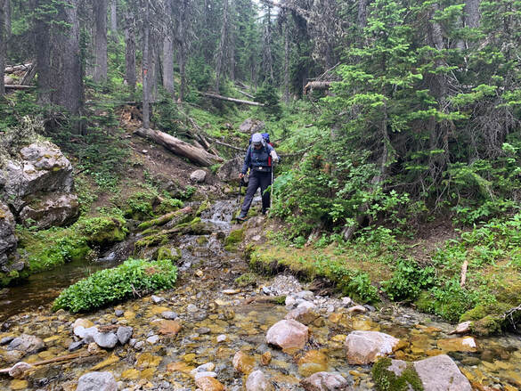
Down South Hidden Creek without a trail
|
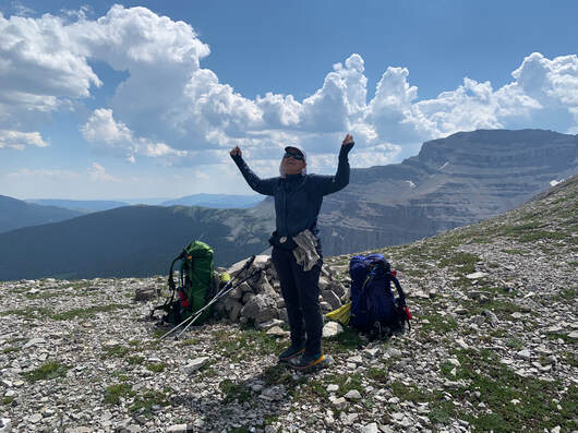
Julie - Happy to be done with Tornado Ridge
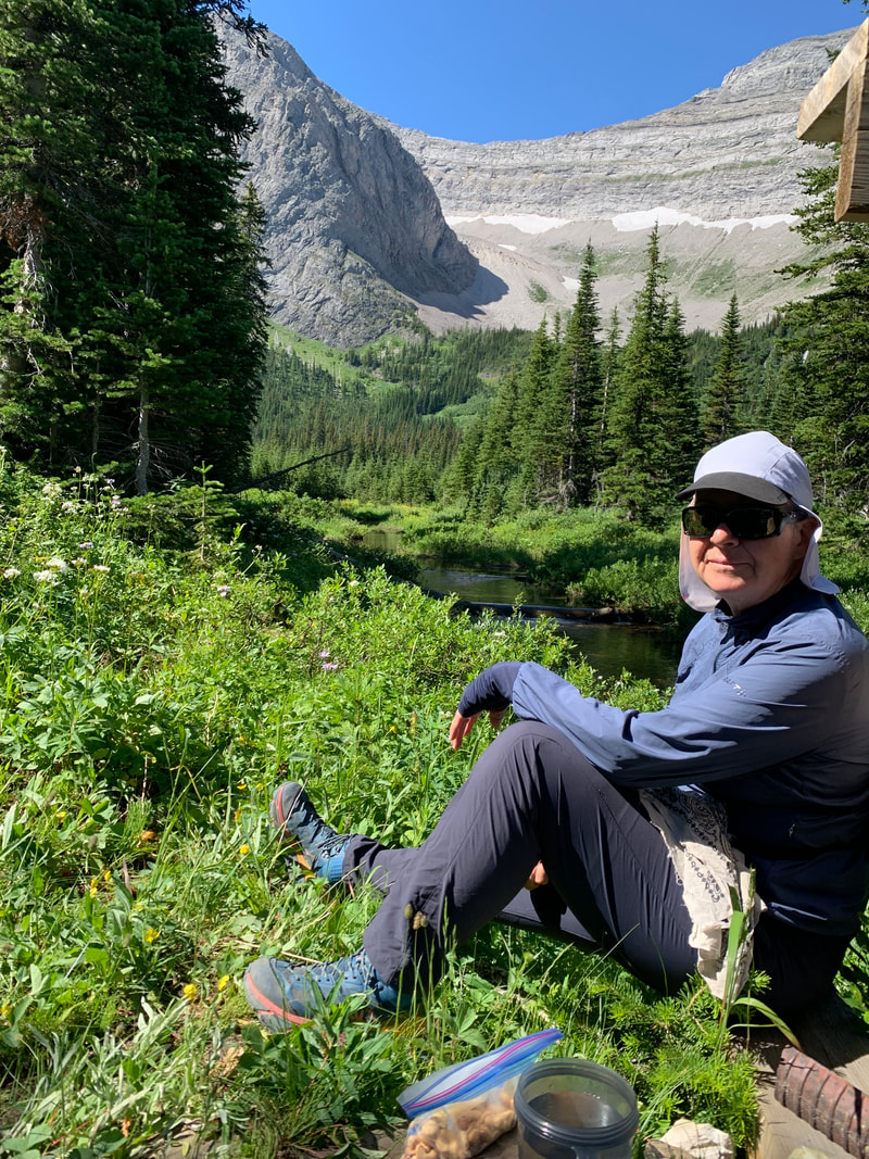
Day 13 greeted us with blue skies. The trail rose and descended small ridges parallel to High Rock Wall. We were treated to vistas of the Beehive, a spectacular mountain. I ran out of water. It was very hot, and I was drinking a lot. We replenished our water in the next valley stream and kept going. At the Lyall Creek camp, we washed ourselves and our clothes and basked in the afternoon sun until bedtime, AKA 7pm.
It rained most of the night. In the morning (day 14), everything was damp from the humidity and condensation. Simon reported his feet were sore. |
The day before his feet had gotten very wet from the many stream crossings and he was starting to experience Trench Foot. Not good. The rainy conditions didn’t help. Our feet were soaked from the boggy terrain in the valleys and brushing up against wet vegetation.
|
At Memory Lake, we met a large group of trail volunteers, led by Dave - a GDT Association trail maintenance leader. He had been hiking and working on the GDT since the mid-70’s. His crew were building new bridges and clearing some of the under-growth along the trail. They had done such an excellent job; we were thankful for all their efforts.
That afternoon, we were treated to one of the best campsites yet - Lost Creek. There was a table, lawn chairs and flat, dry, grassy terrain for our tent. Simon spent the remaining daylight hours sunning his feet and drying his wet shoes. Another GDTer showed-up (Adrian) shortly after supper. He was an athletic young man. |
Lost Creek Camp
|
We reached James Lake camp in the late afternoon. Another 23 km day and 9 hours of walking. Our daily routine of setting up camp, gathering water, and washing up before our evening meal had become automatic.
Simon’s feet were improving. We started feeling like we had this challenging trail in the bag. How silly of us to imagine we were impervious to the trail gods’ plans! |
He had given himself the challenge of walking the whole trail, unsupported and in 18 days (a new record if accomplished). He was walking 40-60 kms days, with a pack weighing over 60 lbs. In the morning (day 15) we wished him luck on his trek and parted ways.
Spring was giving way to summer. The vegetation was lush, flowers filled the meadows, and the berries were ripening. We were aware of the presence of grizzlies. We had seen their tracks and scatt. This was their time of feasting. Our habit was to call out regularly so as not to startle them. This morning, we were both deep in thought and quiet. As Simon turned a corner, he spotted momma grizzly with her cub. Unfortunately, she ran left/uphill, and baby ran right/downhill. We were on the path, between them. Not good. Simon’s initial thought was to grab the camera, mine was to become a Charlie’s Angle. With my bear spray at the ready, I scanned for potential threat. After a short unthreatening charge, we walked quickly (no running!) between them while talking calmly to momma bear. She was meters away, huffing and pacing, but without any signs of charging. The excitement over, our hearts slowly stopped racing and we carried on, calling out ‘hey bear’ a bit more often! 
|
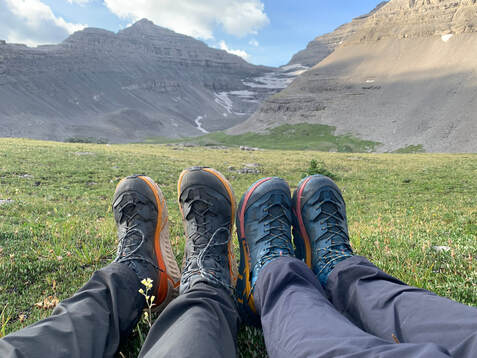
The Hoka TenNine on a break at Fording Pass
Stopping and starting became very painful, so I tried to keep moving, focusing on getting closer to our exit point. After 22 km, we reached Elk Lake Provincial Park (and camp). I was exhausted and we decided to stop for the night.
Simon set the tent up and got water. I washed some clothing and rested my leg. As I tried to get up to walk to the tent, I yelped. My ankle was so painful it could no longer bare weight. That evening we were both tense, we summarised our options. 1- We could spend a rest day where we were, but food was running low. 2- We could see if there were day hikers who could help but we saw none. We would decide in the morning. |
After a night of thunder and lightening, we got up to more blue skies. Day 16 would be another long 25 km day summiting one of the most beautiful passes, the Fording River Pass. The trail led steeply up a forested trail onto a spectacular rocky pass. We could see a small lake further down in the alpine meadow where 2 campers had set their tent. We sat and enjoyed the spectacular vista and ate our second breakfast.
The descent was very steep and grassy. The trail petered-out, but we managed to meander our way through the willows and rocks. An old track led down to the valley and Aldridge Creek. Spring floods had engorged the stream and the path had been completely obliterated. We spent the next 90 minutes crossing the steam (many times), climbing muddy embankments, and stumbling over boulders. We were so glad to reach the Weary Creek camp that afternoon. We shared this great spot with Maggy and Paul, 2 cyclists riding the Elk River trail. Maggy found 2 tent stakes (left by another camper) and offered them to us. This was fortuitous as we had broken 2 stakes the evening before. ‘The trail provides again
Aldridge Creek - no trail again!
|
We woke up early, I carefully got out of the tent. I could walk by keeping my foot flat. Mount Sarrail, and Elk Pass trailhead, was 10 km away. It would be very slow, but I thought I could manage it. Off we went in silence. With a great sense of relief, we finally reached our exit point by late morning.
Elk Lake (BC)
|
We dumped what we could in our cache container hidden near the trailhead. We would retrieve it later. We hobbled along the road and tried to hitch a ride. A couple from Calgary soon picked us up in their van. As they drove us to the highway, we saw Adrian (GDTer we met at Lost Creek camp) hitching along the same road. We learned latter that he had injured his knee and was heading home to Whitehorse. Another hiker beaten by the difficulties of the GDT.
We were dropped off at HWY 40. Within a few minutes, Melanie picked us up. She was heading to a local shop for supplies. But she was enjoying our conversation and offered to drive us all the way into Canmore, where I could get my injury looked after. Once in town, I found a physio and booked an appointment. Diagnosis: subluxation of the Talus bone AKA dislocation of the ankle. The physio adjusted the bone and provided me with a supportive brace. 5-10 days rest-minimum. My trek was over for now. Alternate plans needed to be arranged.
|