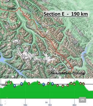
saskatchewan crossing to jasper
|
|
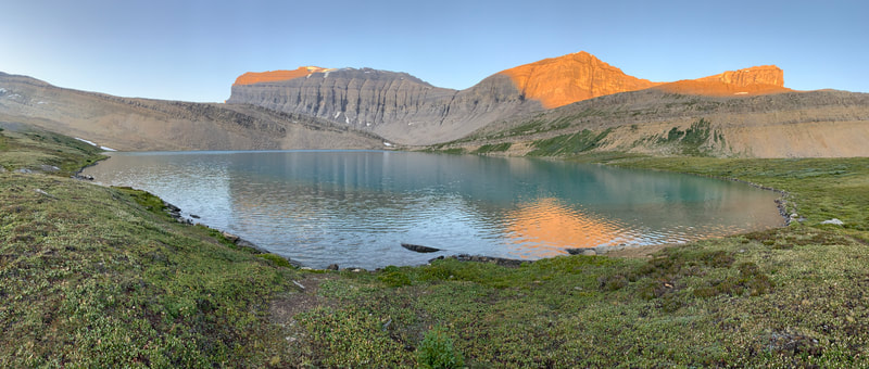
Once clear of the gully, the trail became non-existent, but the way was obvious – UP! The going was easier as we crested Owen Pass. We then saw Michelle Lakes down in the valley below, our destination for the night.
|
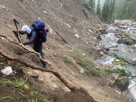
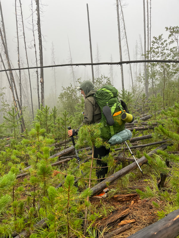
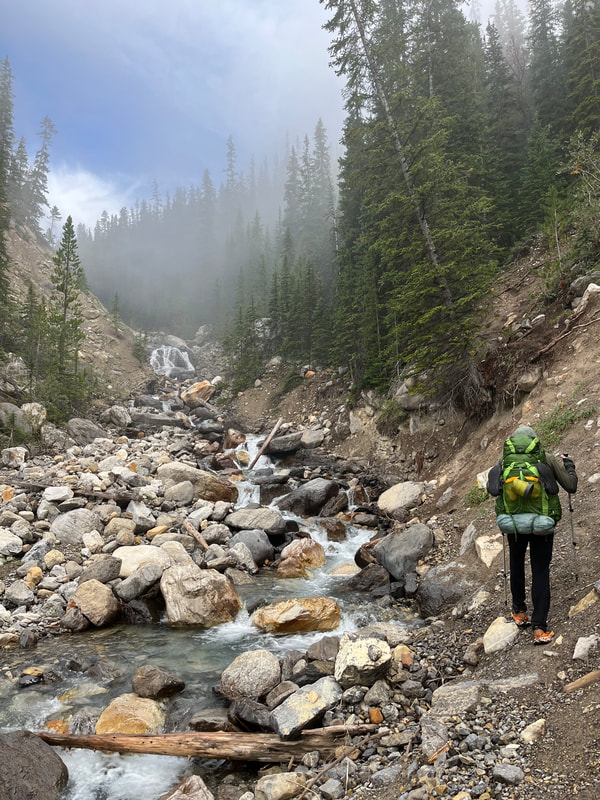
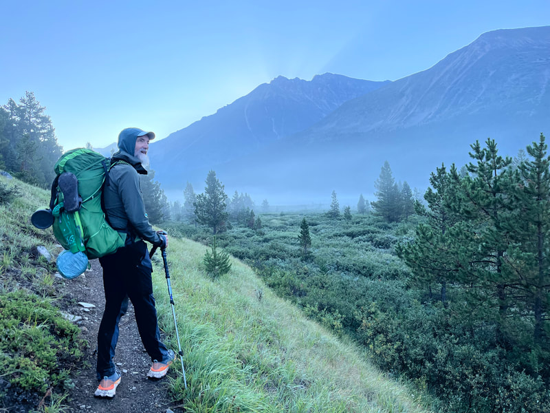
With the car safely back in Jasper, we set off in the early morning fog along the HWY 11 to Owen Creek trailhead. The 7 kms of road walking took us about an hour. We were so excited to be back on the GDT. The path started off in good condition, but soon it headed steeply uphill through willows, downed trees, and muddy embankments. Too often, we had to crawl on our hands and knees up these banks. Owen Creek always by our side, was ragging in the narrow ravine, and had swept away much of the trail.
|
|
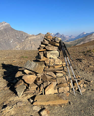
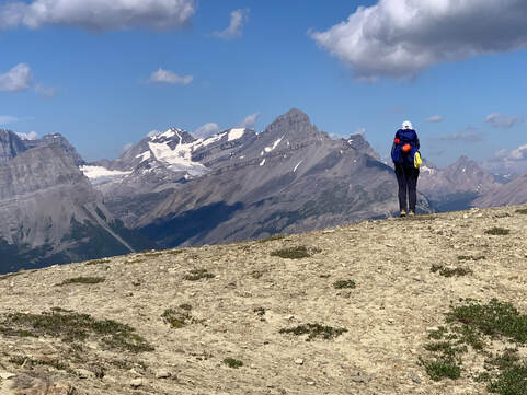
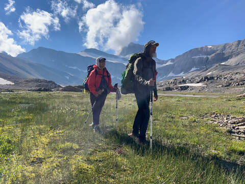
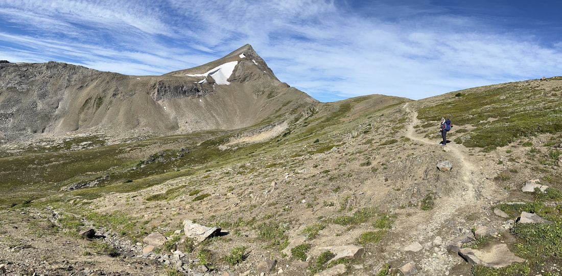
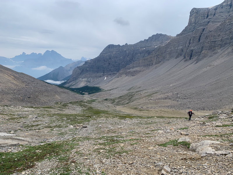
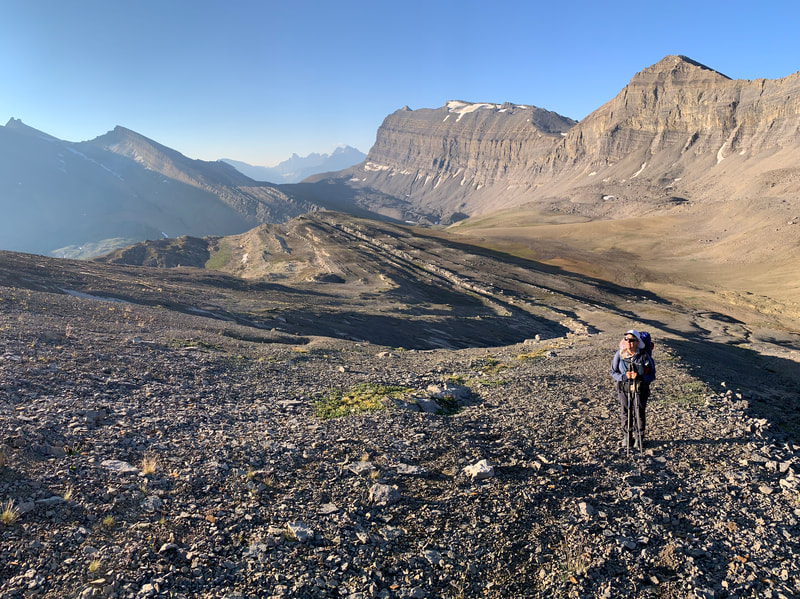
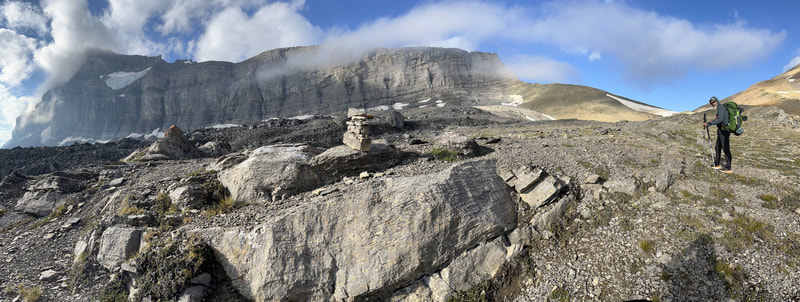
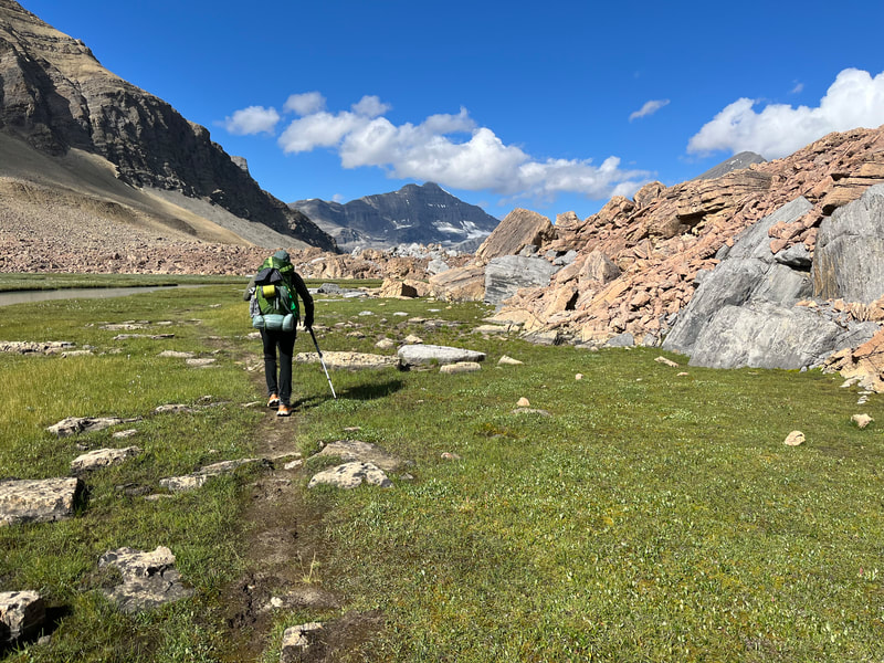
The morning greeted us with clear skies and a cool breeze. After breakfast, we set off to climb the highest point on the GDT, an unnamed pass at 2,590 m (8,497 ft). Walking on these open alpine areas was breathtaking. Yes, the air was thinner as we gained elevation, but it’s the vistas take your breath away. In this area no trail was needed. We could see the cairns at the top of the rocky pass. In no time, we were at the top. High-fiving each other; thrilled to be hiking together, back in the mountains. The descent into the next valley was on a thin ribbon of trail, meandering down, following drainages toward Waterfalls Creek.
|
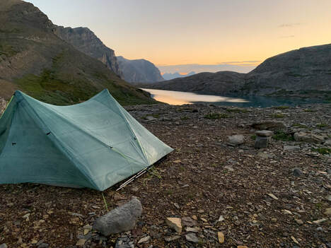
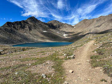
We crossed paths with a few weekend hikers who recommended we walk to the lower (second) lake and camp by the rock bluffs to protect ourselves from the evening winds. As we ate supper, nature offered us a spectacular sunset. After the arduous day, sleep came fast that night.
|
|
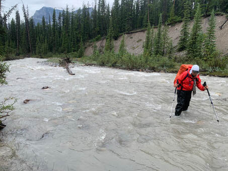
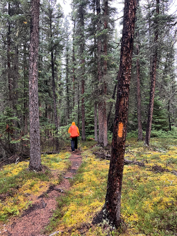
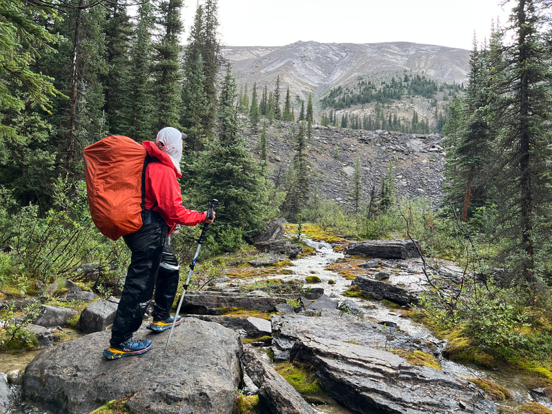
The night was stormy, offering us a light show that seemed too close for comfort. In the morning, it was still raining. We donned our rain gear and set off. The trail was well marked for a few kilometers. But soon, after fording the Cline River, three or four times, we were lost. Or rather we were seduced by a beautiful trail heading in the wrong direction. Simon’s keen sense of direction alerted him that we were heading in the wrong direction. We back-tracked a few kms and found some flags by the river and crossed it again. We were so wet, but into the forest we hiked. The day seemed endless, and the rain kept falling.
|
Once in the valley bottom, we crossed the stream. The path climbed through a forest of pines and then traversed a superb alpine meadow. Slowly it ascended to the second pass of the day, Pinto Pass. We were so exhilarated, we seemed to float, our feet barely touching the ground. The descent was longer than anticipated, but Pinto Lake camp compensated for all our efforts. It had all the amenities required: a river and lake, cooking area, bear boxes, a thunder box (the toilet), and a flat shady area for our tent. Two hikers were enjoying a leisurely moment, soaking their feet in the lake when we arrived. Father Piglet and Windy Goat (trail names obviously) were hiking a circuit from Sunset Pass to Nigel Pass.
|
|
Through the thick forest and onto the shrubby river banks, the trail was tough to follow. This was made worst as the coloured flags disappeared altogether. More often than not, we were following animal tracks rather than the GDT. We would choose a faint trail, follow it for a while, then it would just stop. We would back-track and find ourselves lost on another dead-end again. To make matters worse, Simon’s phone got very wet and stopped working. His phone had the GPS and mine (Julie) did not. Lesson #201; always have a back-up!
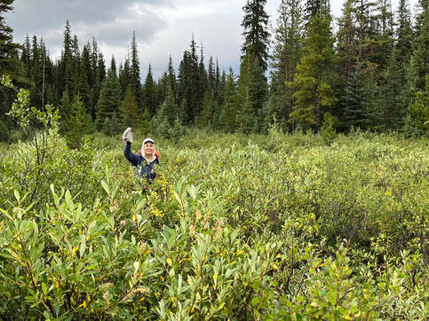
I struggled to keep panic out of my mind. Simon’s internal compass directed him to push onward into the shoulder-high brush. With his usual calm determination, he plowed a path through the swampy terrain in the direction he thought was correct. Thirty minutes latter, we saw the tributary heading into Cataract Creek, and 2 tents on its grassy shore. Our friends Skylar, Erin, and Carl greeted us with a warm cheer.
We were joined an hour later by Piglet and Goat. They had a similar story to tell. We were all glad this day was over, and everyone was safe.
|
|
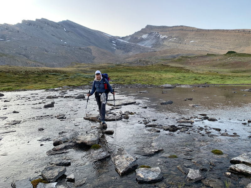
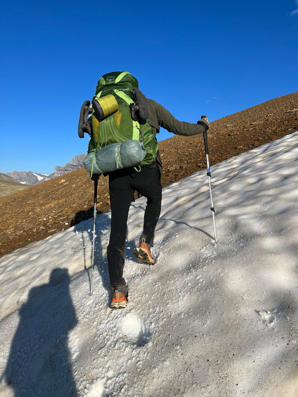
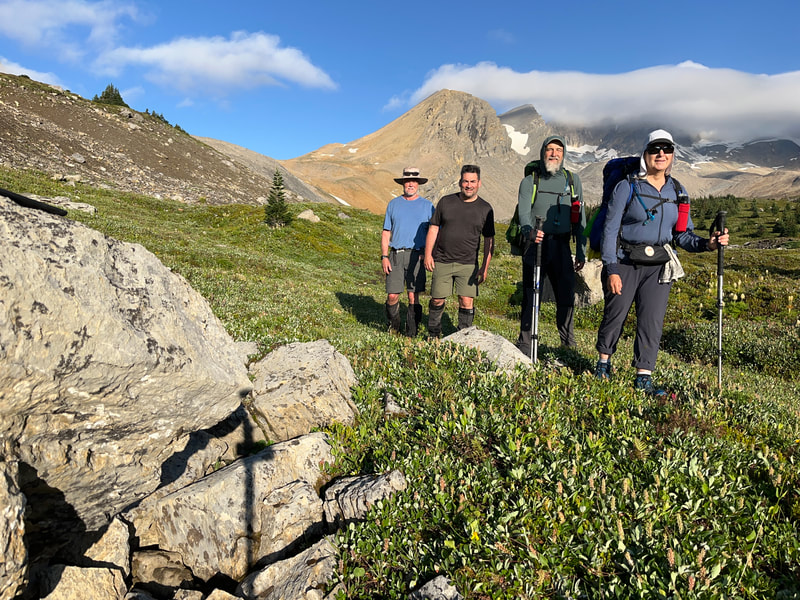
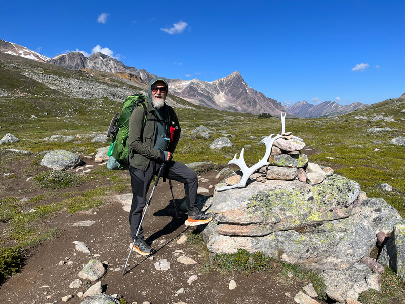
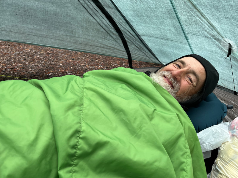
The nights were becoming cold and our old sleeping bags were not warm enough. We were wearing all our dry clothes to bed and still felt chilled. In the morning, after a warm cup of coffee, we were the first to set off over frost covered vegetation. We were thankful the bad weather was over for now. Although we saw slight trails on either side of Cataract Creek, we chose to cross the creek right away. We had seen hikers come down the night before using that trail. Our feet were soaked again but we had made the right decision as we quickly found cairns that marked the way. We felt strong and easily climbed over Cataract Pass. The views didn’t disappoint. We stopped for our second breakfast by the summit cairn; Piglet and Goat joined us, and we headed down into the wide valley.
|
|
Nigel Valley and Pass were spectacular. There was a herd of bighorn sheep grazing at the bottom of this wide valley and two white goats on a rock bluff. We walked in awe of our surroundings. At the intersection with Nigel trail, we picked up our wilderness food cache. We said goodbye to our friends, Piglet and Goat. Boulder camp was 3 km away, our destination for the night. We were not alone that night, the Brazeau Lake Loop is a very popular area in Jasper N.P.
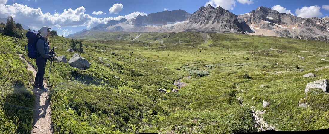
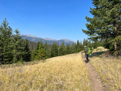
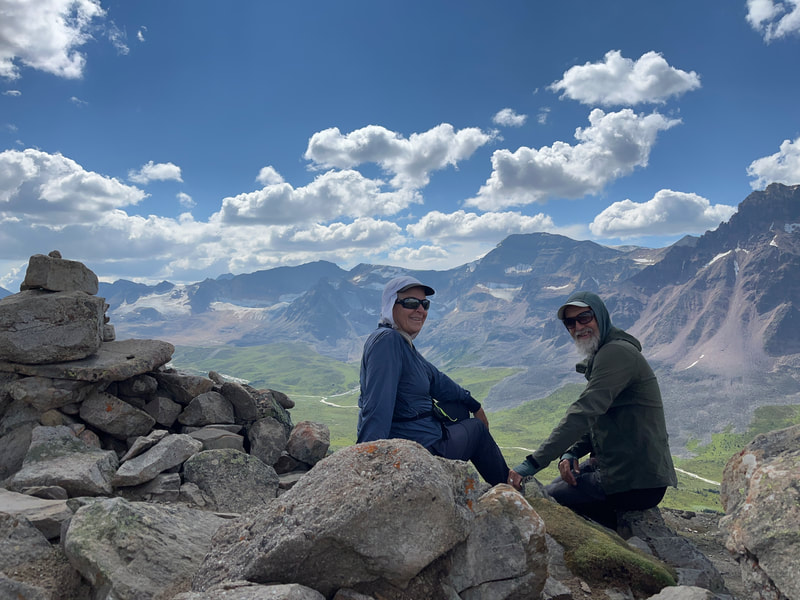
The following day was perfect. The weather was clear and the trail well engineered. After a short steep ascent in a beautiful woodland, we settled into an almost leisurely pace along the Poligne Creek valley, the path slowly climbing up to Jonas Pass and then Jonas Shoulder. At the top, we sat enjoying the views of the creek far below, the hanging glaciers across the wide valley, and peaks all around.
|
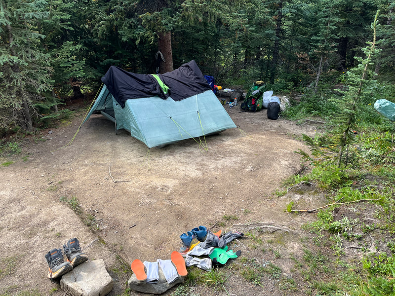
Going down toward Jonas Cut-off camp, we met Kim, a park warden. She was checking camping reservations. It was the second time in 5 weeks! Once at camp, we took advantage of the sunny weather to dry all our clothes, shoes, and sleeping bags. It felt wonderful to sleep in dry conditions again.
The next morning, we lingered in the cooking area of the camp. We only had 13 kms to walk to our next camp. We enjoyed a coffee and a first breakfast of peanut butter on a Cliff bars, then headed off. We were getting tired of these bars…
|
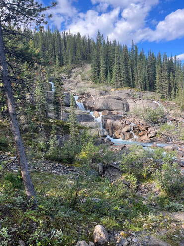
The trail was well maintained. We stopped at Waterfalls camp for second breakfast (granola and dried fruit). We soon met Erin and Carl on the trail; Skylar had gone on ahead. As we stopped to take pictures of the waterfall, Erin lost her footing and fell, hitting her lower leg on a large boulder. Right away, she knew something was wrong, she was in a lot of pain. We all stopped, took off our packs and dealt with this unfortunate event. Erin put her leg and foot in the cold water of the stream to reduce the pain. I applied some supportive bandaging, and we all removed the heavier items from her pack to lighten her load. We offered to build a stretcher and carry her to the camp, but she refused. She bravely got up and made a few tentative steps. She would make it on her own.
We set off leaving her in Carl’s good care. Arriving at Poboktan camp, we met Skylar. He was busy sorting out their food cache. After hearing what happened, he went to retrieve Erin’s pack. When the trio arrived, we all discussed what would be the best option for Erin. She obviously was badly hurt and shouldn’t continue. |
|
They had met Kim, the park ranger, along the trail. She had offered to return to the trailhead the next day and pick them up if they wanted. The trailhead was 7 kms downhill from the camp. The final decision was postponed. In the morning nothing had changed. They left for the trailhead hoping to resume the trek in a few days. We had a day off at this camp. We took advantage of the free time to wash our clothes and ourselves, eat and rest.
The next morning was cool and wet from the overnight rain. We packed our bags inside the tent, donned our rain gear, and went out to make coffee. The hot drink warmed our frozen fingers a bit. |
The next segment of trail was supposed to be unmaintained; we were expecting a difficult day.
|
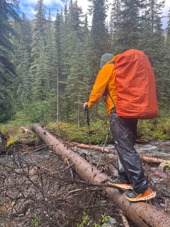
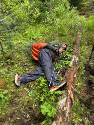
We were soaked and cold. We trudged on being careful of our footing. As I placed my foot onto a wet log, I knew instantly that it had been a bad choice. I went down, face-first onto a creek-bed.
|
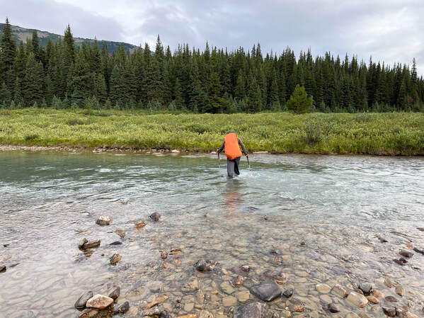
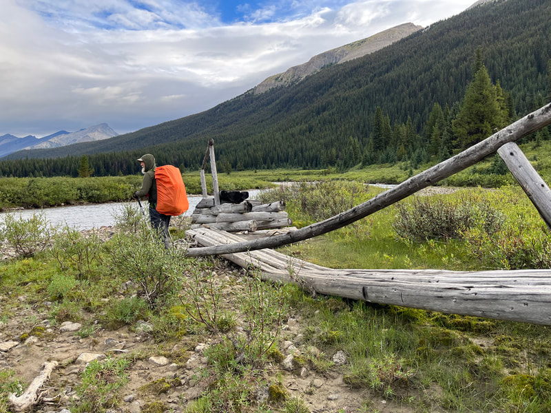
Early on, the trail was in good condition, there were bridges albeit somewhat in poor state. As we reached the first pass, the trail narrowed, and was bordered by shoulder-high willows, lots of them. As we descended into Maligne Valley, it seemed more willows were pressing against us, clawing at us, and slowing our progress. We found a bridge for Maligne River, laying on a sand bar, useless. We would have to ford this large river. The water level reached our thighs and the current threatened to push us into the ice-cold water - we made it across safely.
|
|
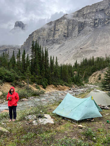
Face in the gravel, my pack wedging me under the remnant of an old bridge; I couldn’t get up. Simon had to help me. Soon after, it was Simon’s turn to fall. He managed to miss a large branch that could have broken a rib, or worse. We had been lucky, only a few scratches and bruises, nothing more to show for our perils. The last half km to Mary Schaffer camp had been cleared of willows. Our spirits suddenly lifted, we imagined that from now on the Maligne Valley trail would be groomed! Mary Schaffer camp was grassy and very wet from the bad weather. We were so tired and cold that we did not care. All we could think of was to eat our hot meal and tuck into our sleeping bags and end this difficult day.
|
|
In the morning, the weather was still rainy and cold. We got dressed in our wet clothes and boots and started our day. Unfortunately, right from the camp the trail returned to brushy and boggy. More willow bashing, more wind falls to climb over and more streams to ford. Yuck. As we reached Trapper camp, it was evident that some work had been done by the trail crew. The wind fallen trees had been cleared from the trail. Again, our spirits lifted, and we quickened our pace.
Turning a corner, we found ourselves face to face with a big moose and her calf. They were only a few meters away on the trail. The stand-off didn’t last long, we talked to momma moose and asked her what she wanted us to do. We were about to move off the trail when she suddenly veered into the dense brush and quietly walked by us. |
Her calf following closely behind her. We were amazed at how tall and graceful she was, what a beautiful animal. Soon we reached the popular Maligne Lake area. We could smell the clean, soapy sent of tourists before we saw them. We imagined that they could smell us too!
At Evelyn Creek trailhead, we picked up our last cache and topped up our supplies. This trailhead was the beginning of the popular Skyline Trail. The path was wide and well groomed! After the last 2 days of crappy trail conditions, it was so lovely to walk side by side and admire the forest, worry free. Evelyn camp was busy, and this provided us with a chance to chat with other hikers.
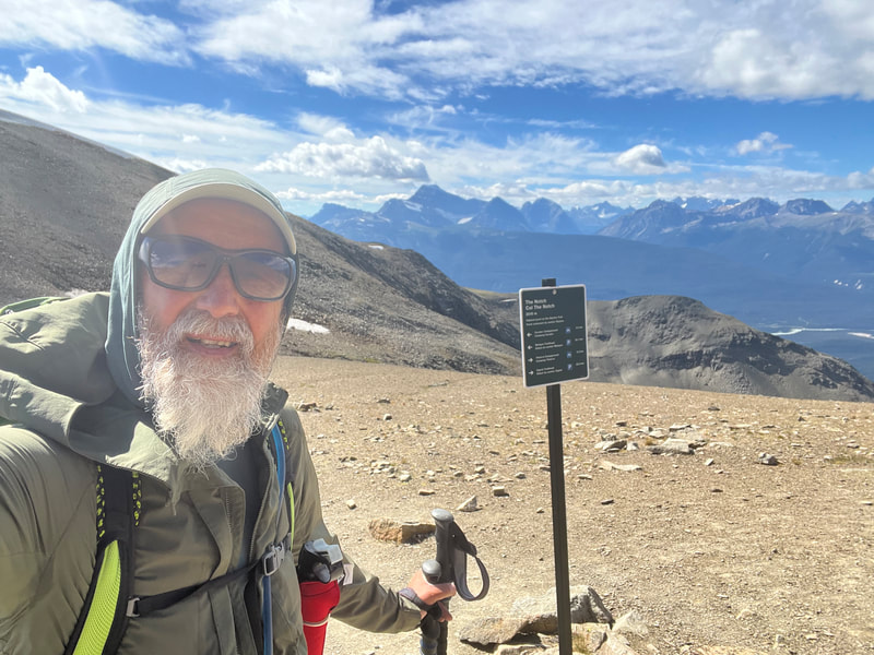
With clear blue skies, we set off the next morning, up toward Little Shovel pass, then Big Shovel pass. The views were spectacular. The open meadows were green and filled with flowers; the Rocky Mountains shone in the intense sunlight. The path wound along the steep shale of the cirque toward Curator Lake camp. At the intersection, Simon decided to climb the Notch. My ankle was starting to complain so I decided to head to camp, set-up the tent, and wait for him.
|
At the camp, I met Maija and her husband, Adrian. They were hiking the Skyline Trail. We sat together and talked the afternoon away. When Simon arrived, we discussed our plans. I was done and voted to exit here instead of the following day. Simon agreed. Maija and Adrian wanted to shorten their next day and camp at Tekera but did not have a reservation. On this popular trek, this was a challenge. We offered to swap with them. They could use our reservations at Tekara, and we would camp at Whistler in their stead.
The next morning, we set off early, whishing Maija and Adrian a good hike. The Wabaso Lake Trail was used by the horse trains which supplied the nearby Shovel Pass Lodge. The trail was wide and descended to HWY 93. Nearing the bottom of the valley, we chose to head toward the Five Lakes Trail which provided a way back to Jasper.
|
|
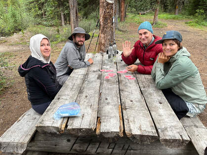
That night in Jasper, we met up with Erin, Carl, Skylar, and Kim at a local pub. We were in a celebrating mood, we wanted to know how Erin was doing. Unfortunately for her, she had broken her fibula and her trek was over for the summer. Kim had driven them into town and found them accommodations for a few days. Another trail angel. Skylar had sprained his ankle a third time, no more hiking for him as well. The trio planned on coming back next season to continue the GDT from Jasper to Kakwa. We wished them speedy recovery and luck for their next adventures.
With our trek finished, we spent a few days retrieving our food caches and spending time hanging out with our nephew, Ambroise, and our GDT friends. We headed off to visit with family and friends in B.C. for a few weeks and then home. |
Already, Simon was planning next season’s adventures. The fun never ends! See you on the trail!
Photo gallery |

