JUSI ADVENTURES

JuSi Adventures
Our Great Trail Blog/
Notre Blog Du Grand Sentier


​
 

  • Home
  • Planning Our Adventures
    • Trail Choice
    • Trail Knowledge
    • Removing Obstacle
    • Equipment >
      • Base Weight
      • Thru-Hiking Clothing
    • Health and Fitness >
      • The 24 Hour Challenge (2023) >
        • 24 Challenge Pre-Trip Details
      • Why Walk?
      • Favorite Exercises
      • The Art & Science Of Walking
    • Nutrition >
      • Nutritional Fundamentals
      • Menu Planning
      • Dehydrating Your Meals
      • Favorite Meals
  • Sharing Our Adventures
    • The Trans Canada Trail >
      • TCT Planning
      • JUSI TCT Blog
    • The Rideau Trail >
      • Rideau Trail Planning
    • The GR10 - The Pyrénées >
      • The GR10 - Planning
      • GR10 - Les Pyrénées-Orientales
      • Walking Along the Canal du Midi
      • GR10 - Les Pyrénées-Atlantiques
    • The GR20 - Crossing the Corsican Alps >
      • GR20 Planning
    • Annapurna - Poon Hill Circuit >
      • Ghoripani Trail Planning
    • Camino Frances >
      • Camino Frances Planning
      • Camino Frances Journey >
        • Camino Frances Planning Blog
        • Camino Frances Part 1 Blog
        • Camino Frances Stage 2 Blog
        • Camino Frances Part 3 Blog
        • Camino Frances Post Mortem
    • Camino Le Puy en Velay >
      • Camino Le Puy Planning
    • The Arizona National Scenic Trail >
      • AZT Planning
      • Arizona Journey >
        • AZT Pre-Trip Blog
        • AZT Journey - Stage 1
        • AZT Journey - Stage 2
        • AZT Journey - Stage 3
        • AZT Journey - Post Mortem
    • The Great Divide Trail >
      • GDT Planning
      • GDT 2022 Pre Trail Blog
      • GDT Section A Blog
      • GDT Section B Blog
      • GDT Section C & D Blog
      • GDT Section E Blog
  • About
  • Contact Us

11/10/2018

Fredericton - Upper Kent

1 Comment

Read Now
 
From Fredericton the Great Trail continues along the St John River. This section up to Kingston Ontario, some 1000km, follows a historical pathway that the 104th regiment walked in the winter of 1812 to join the British soldiers fighting the Americans in the war of 1812. The trail must have looked wilder then and in winter those men must have suffered tremendously from exposure.
Picture
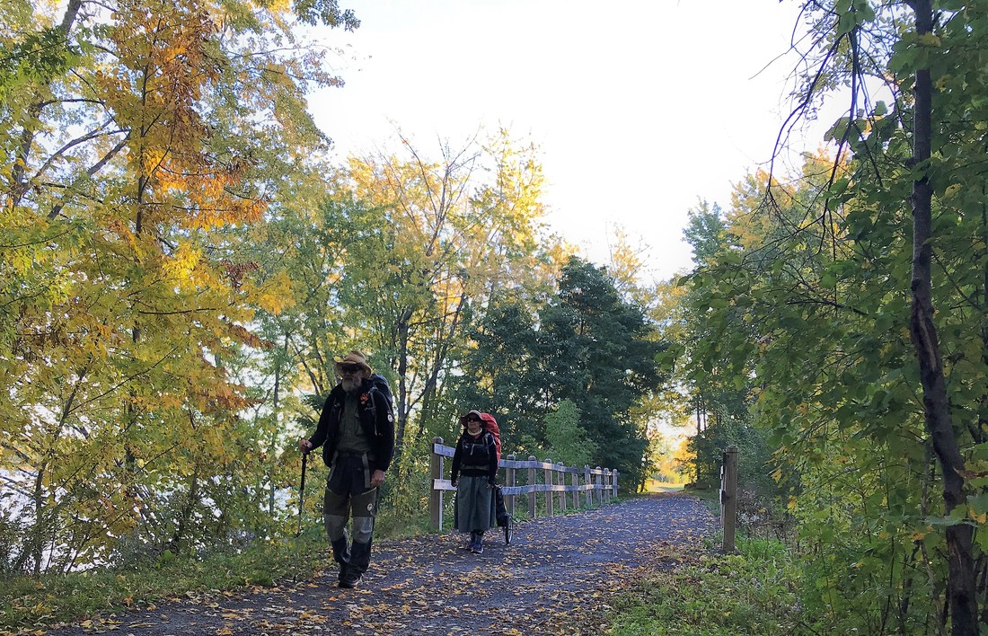
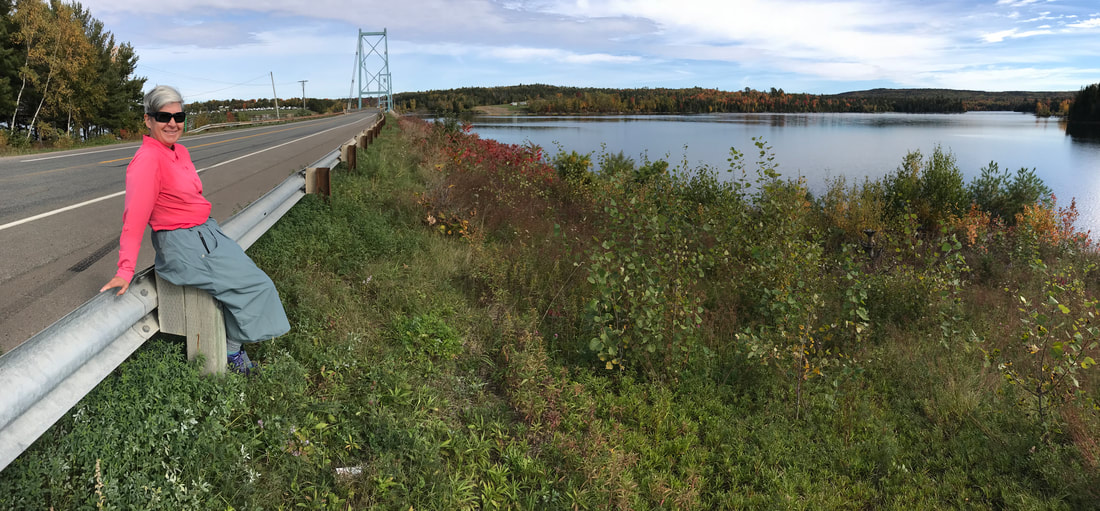
Beauty trail leaving Fredericton
Leaving town, we followed the scenic waterside trail for about 10km to find ourselves once again on Hwy 102. In this area, this road was a bit busy, the shoulders were narrow. But the fall colours and orchards kept us happy. There is nothing like a crisp apple right off the tree! We got off the Hwy onto a small road near French Village to find ourselves a quiet spot to camp.
 
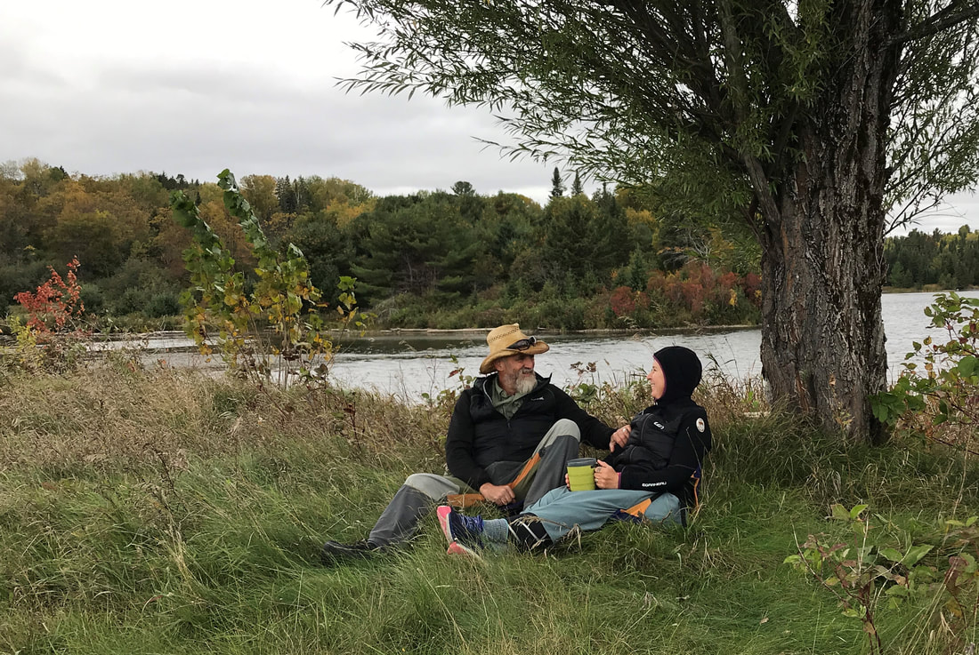
On October 6th, we walked along the Hwy all day. Farmland and river vistas continued to accompany us on our journey. Nearing Hawkshaw, we left the Hwy again and tucked into our tent for a cold night. The temperatures have been dipping below 0’C at night. Our summer weight sleeping bags don’t cut it. We are having to wear all our clothing to stay warm at night. Luckily, we have with us some warm layers and we had purchased small fleece blankets in Fredericton. It is quite humorous to see us layering everything we have with us in our bags at night. 
Picture
The nights are getting colder
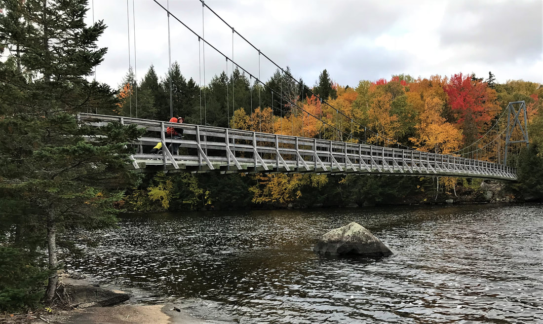
Hwy 102 ends, quite suddenly. We first saw a dead-end sign on the road just before the Great Trail leaves Hwy 102 for Lower Shogomoc Rd. This road also bore a dead-end sign. It soon became obvious that this road was abandoned. We kept checking the App to make sure we were still on the trail. What if we had to double back? How far should we go before turning around? After 2km, the roadway became a narrow path along the yellow line on this overgrown road. We suddenly found ourselves at a beautiful foot bridge. What a relief! The trail uses abandoned roads for 6 km. We loved this section. It was peaceful and easy walking. The tree canopy gave the surroundings a magical feeling.
 
After a quick break at a convenience store in Meductic, we continued on following Hwy 165 until we found a great camping spot by a pond near Flemington. The evening was breezy and the clouds warned us of bad weather approaching. I don’t think either of us noticed anything once we were tucked into our sleeping bags that night. We slept like rocks until morning.

Picture
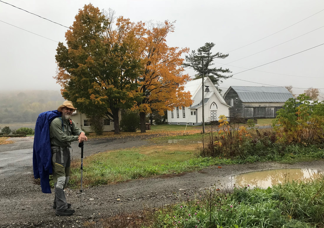
Fog and rain sets in
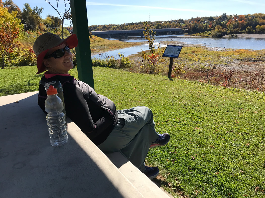
More road walking led us into Woodstock. From here, we followed another old rail bed trail along the river. This section was amazing. The trail was very well groomed, similar to the PEI Confederation Trail. We left the trail to get supplies at the local grocery store and have a Timmy’s late lunch.  A short walk got us to a beautiful spot overlooking the longest covered bridge in the world, in Hartland. This would be our view for the night.
 
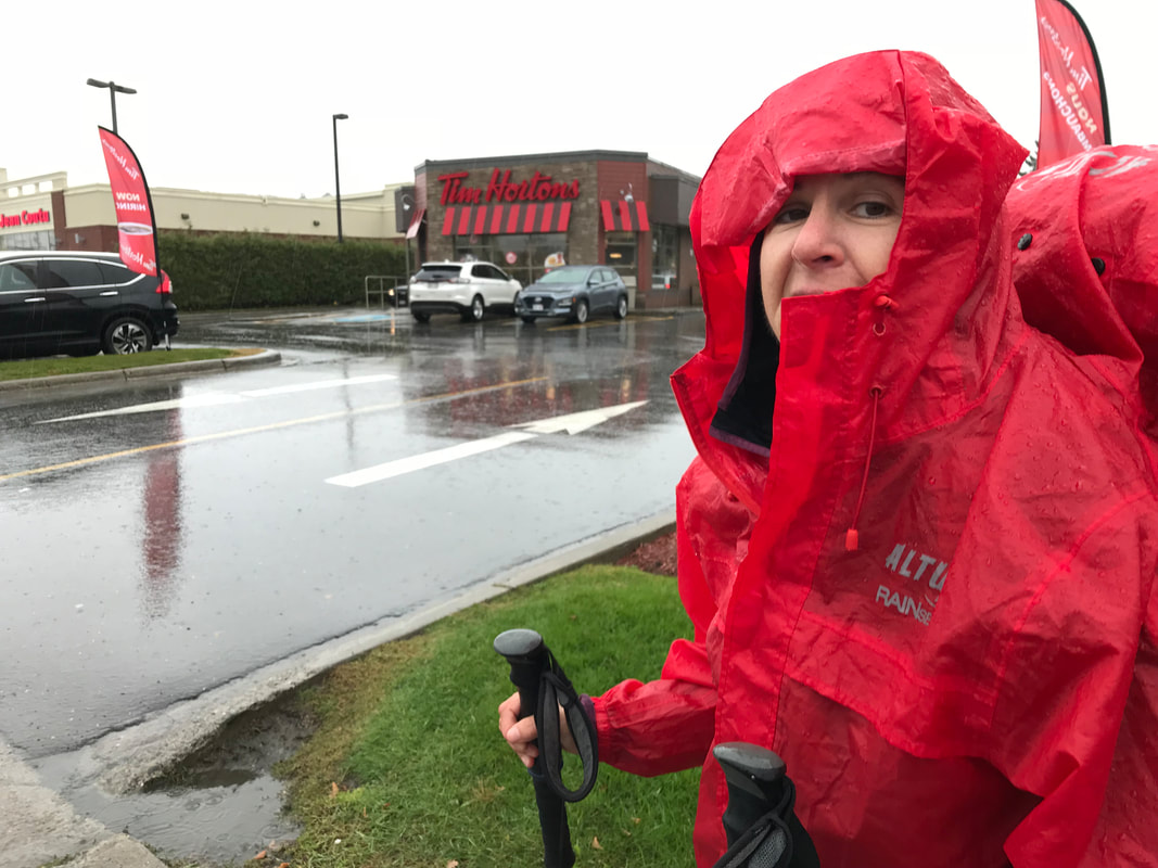
Every trip there seems to be a favored drink. In Arizona it was Arizona ice tea, in Spain we liked Kaz Limon; here we have adopted going to Tim Horton’s for a tea or cool drink depending on the weather. There we can recharge our phones do a bit of Facebooking or write our blog while enjoying a soup or sandwich. 
Picture
Timmys!!
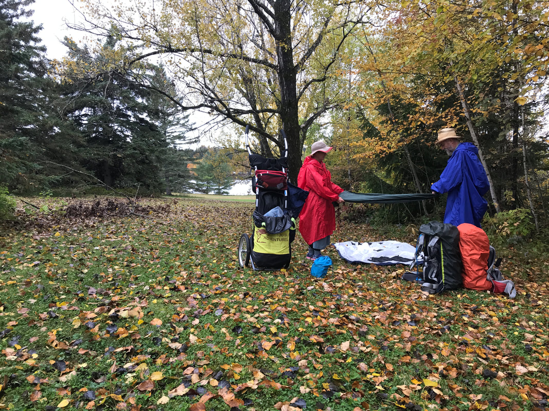
We woke up to find the fine fall weather replaced by mist and drizzle. It was warmer than the last few days, but the persistent rain got us wet. We continued along the river trail crossing a few small communities. Arriving in Stickney we were greeted by a sign which said ‘Smile you are entering our town of Stickney’. It was a quaint sleepy town. Next town was Florenceville-Bristol it was a bit larger and touristy with lovely homes. We got off the trail to walk in this town for a bit of a change. The afternoon was advancing and so our attention turned to find a spot for our camp. Back on the trail we crossed the damn of Beechwood where the town has made a beautiful park. We found a discrete spot and tucked in for our rest.
 
From here, we have 120km or so to get to Edmundson. We are calculating about 4 or 5 more days of walking. We hope the weather and our legs holds up.
En partant de Fredericton, le Grand Sentier continue le long de la rivière St-Jean. Cette section du sentier (jusqu'à Kingston en Ontario - +1000 km) suit un parcours historique. Le 104e régiment on créés le sentier en 1812 pour rejoindre les soldats britanniques. Ils ont aidés la lutte contre l’invasion américaine – la guerre de 1812. Le sentier était certainement plus difficile et ces hommes ont dut souffrir énormément parce qu’ils ont fait ce trajet en hiver.
 
En quittant la ville, nous avons suivi ce sentier super panoramique au bord de la rivière pendant plusieurs kilomètres pour nous retrouver une fois de plus sur la route 102. Cette route était un peu achalander, en plus, les épaules étaient étroites. Mais les couleurs de l’automne étaient en pleine vigueurs et nous étions heureux. Un autre bénéfice en automne ce sont les pommiers – quel délice, de bonnes pommes croquantes le long de la route. Nous avons trouvés un beau site de camping près de ‘French Village’ une communauté autochtone.
Picture
Une pause le long de la route 102
Le lendemain (6 octobre), nous avons marché le long de la route toute la journée. Les terres agricoles et une superbe vue de la vallée de la St Jean nous ont accompagnés. Tout près de Hawkshaw, nous avons de nouveau trouvés un petit endroit plat, derrière quelques arbres, pour passer une nuit plutôt froide. Pendant ces quelques jours les températures ont plonges sous 0' C pendant la nuit. Nos sacs de couchage d’été sont légers mais nous avons passés chaque nuit avec tous nos vêtements pour rester au chaud. Heureusement, nous avons avec nous deux manteaux chaudes et nous avions acheté des couvertures de polar à Fredericton. C’était drôle de nous voir emmitoufler dans nos sacs.
 
En suivant le logicielle du Grand Sentier nous avons quittés la route 102. Cette petite route était un cul-de-sac. Il est vite devenu évident que cette route était abandonnée. Nous avons continués en suivant les directions du logicielle. Après une heure et demi de marche on était nerveux – surtout avec la possibilité de rebrousser chemin – on continue? Pourtant la route continuait, un petit chemin étroit le long de la rivière envahi par la végétation. Mais soudainement le petit chemin est bloqué et le Grand Sentier bifurque pour emprunter un superbe pont pédestre. Quel soulagement! Le sentier continu et utilise plusieurs routes abandonnées pendant 3 heures. Un peu d’anxiété mais nous avons adoré cette section. C’était paisible et la marche facile. Le feuillage colorés des arbres, un sentier parfait, et une vallée magnifique – une fois de plus, nous marchions au paradis!

Picture
Très beau pont pédestre
Après une courte pause chez un dépanneur à Meductic, nous avons continué empruntant la route 165 jusqu'à ce qu’au camping – près d’un étang avant d’arrivés a Flemington. Une soirée venteuse et les nuages nous annonçaient un peu de mauvais temps. Nous avons à peine remarqué la pluie une fois entrés dans nos sacs de couchage. Nous avons dormi comme des buches jusqu’au matin.
 
Une belle marche le long d’une petite route nous amène à Woodstock. De là, nous avons suivi un autre vieux chemin de fer le long de la rivière – une autre section incroyable. Le Nouveaux Brunswick prend soin de ses sentiers, semblable au Sentier de la Confédération sur l’Ile du Prince Edward. Nous avons quitté le sentier pour s’approvisionner et prendre un deuxième déjeuner chez Timmys.  Après quelques minutes de marche nous avions une vue superbe du pont couvert – le plus long au Monde a près de 400 mètres. Un parc et une belle vue du pont égale un beau site de camping pour la nuit.

Picture
Beau spot de camping avec le pont de Hartland au loin
On se trouve toujours une boisson durant chaque voyage; en Arizona - c’était le thé glacé, en Espagne – le Kaz Limon, dans les Maritimes - nous avons adopté le thé chez Tim Horton (il y en a partout)! Là nous pouvons recharger nos téléphones faire un peu de ‘Facebooking’ ou écrire notre blogue tout en dégustant une soupe ou un "sandwich".
 
Nous avons continués dans un brouillard épais accompagner d’une bruine légère. Le temps ses réchauffé un peu mais la pluie persiste. Nous avons continué le long du sentier de la rivière traversant quelques petites communautés. Arrivant à Stickney, nous avons été accueillis par un panneau qui dit « Souriez, vous entrez dans notre ville de Stickney » - un mignon village endormie. Un peu plus loin nous sommes arrivés à Florenceville-Bristol, un peu plus grand et plus touristique avec de belles maisons. Nous avons passés une heure dans cette ville, jaser un peu avec quelques gents de la place. Un  peu plus tard de retour sur la piste, le barrage de Beechwood était accompagné d’un très beau parc aménagé par cette petite communauté. Nous avons trouvé un endroit discret pour la nuit.
Picture
Camping au barrage de Beechwood
D’ici, nous avons 120km pour rejoindre Edmundson. Nous calculons à peu près 4 ou 5 jours de marche. Nous gardons nos doigts croisés pour ce qui est de la météo.

Share

1 Comment
Harold F link
30/3/2021 00:28:40

Hi thanks for poosting this

Reply


Leave a Reply.

Details

    Author

    We are Simon Lanoix and Julie Chatelain and we are 'JuSi Adventures'. Our passion is to share our experiences with others. We revel in seeing others becoming more confident and authentic selves through the challenges found in nature.

    Archives

    November 2023
    August 2020
    July 2020
    October 2019
    September 2019
    August 2019
    July 2019
    June 2019
    May 2019
    October 2018
    September 2018
    August 2018
    July 2018
    June 2018

    Categories

    All

    RSS Feed

Home Page

​  About JuSi Adventures

Sharing Our Adventures

​The Trans Canada Trail 
​The GR20
​Annapurna Circuit
​Camino Frances
​Camino Le Puy en Velay
The Arizona National Scenic Trail​
The Rideau Trail
The Great Divide Trail

Planning Our Adventures

Trail Choice
Trail Knowledge
Removing Obstacles
Equipment
​Health and Fitness
Nutrition

The Art & Science of Thru-Hiking

​Contact Us

© COPYRIGHT 2015. ALL RIGHTS RESERVED.
  • Home
  • Planning Our Adventures
    • Trail Choice
    • Trail Knowledge
    • Removing Obstacle
    • Equipment >
      • Base Weight
      • Thru-Hiking Clothing
    • Health and Fitness >
      • The 24 Hour Challenge (2023) >
        • 24 Challenge Pre-Trip Details
      • Why Walk?
      • Favorite Exercises
      • The Art & Science Of Walking
    • Nutrition >
      • Nutritional Fundamentals
      • Menu Planning
      • Dehydrating Your Meals
      • Favorite Meals
  • Sharing Our Adventures
    • The Trans Canada Trail >
      • TCT Planning
      • JUSI TCT Blog
    • The Rideau Trail >
      • Rideau Trail Planning
    • The GR10 - The Pyrénées >
      • The GR10 - Planning
      • GR10 - Les Pyrénées-Orientales
      • Walking Along the Canal du Midi
      • GR10 - Les Pyrénées-Atlantiques
    • The GR20 - Crossing the Corsican Alps >
      • GR20 Planning
    • Annapurna - Poon Hill Circuit >
      • Ghoripani Trail Planning
    • Camino Frances >
      • Camino Frances Planning
      • Camino Frances Journey >
        • Camino Frances Planning Blog
        • Camino Frances Part 1 Blog
        • Camino Frances Stage 2 Blog
        • Camino Frances Part 3 Blog
        • Camino Frances Post Mortem
    • Camino Le Puy en Velay >
      • Camino Le Puy Planning
    • The Arizona National Scenic Trail >
      • AZT Planning
      • Arizona Journey >
        • AZT Pre-Trip Blog
        • AZT Journey - Stage 1
        • AZT Journey - Stage 2
        • AZT Journey - Stage 3
        • AZT Journey - Post Mortem
    • The Great Divide Trail >
      • GDT Planning
      • GDT 2022 Pre Trail Blog
      • GDT Section A Blog
      • GDT Section B Blog
      • GDT Section C & D Blog
      • GDT Section E Blog
  • About
  • Contact Us