JuSi Adventures
|
2 Comments
Philip LeMay
23/10/2019 15:32:31
Well done!!!
Mike Toombs
24/10/2019 00:51:40
sounds like you guys made a tough but correct decision - glad that you are now home safe and sound - congrats on your perserverence and great progress! Leave a Reply. |
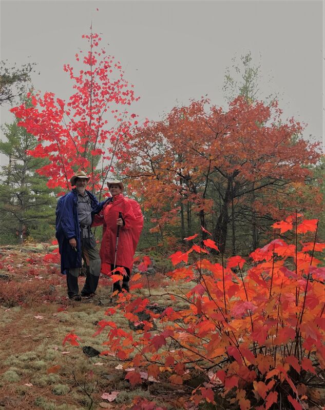
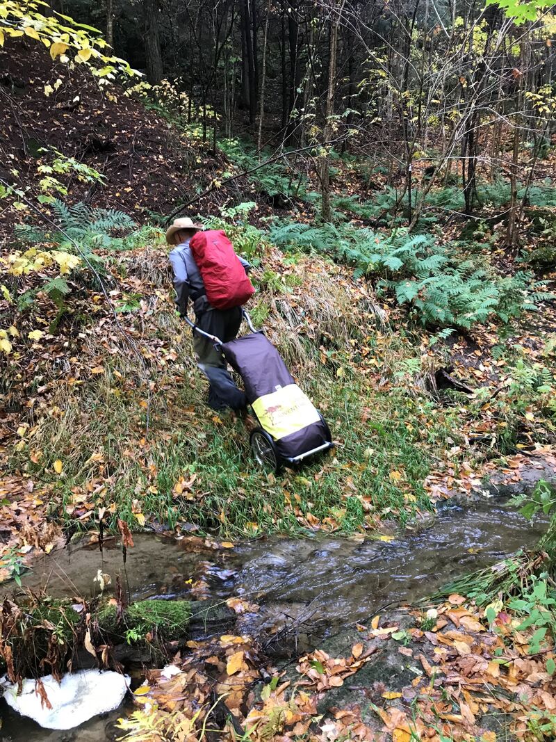
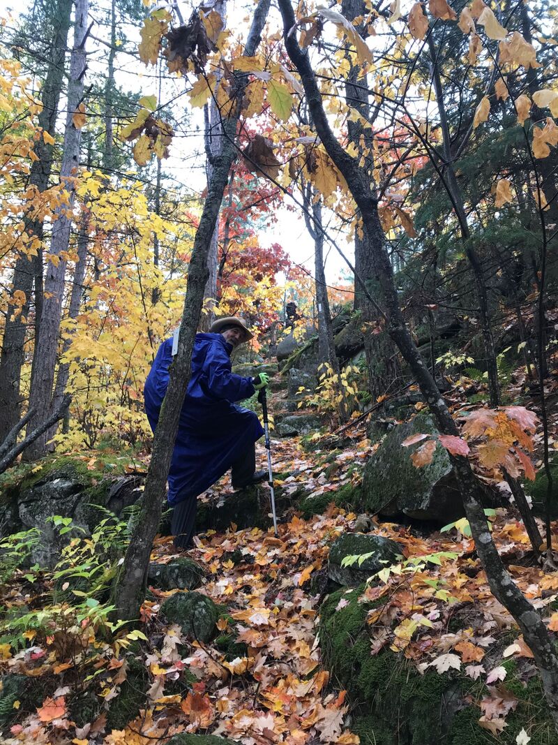
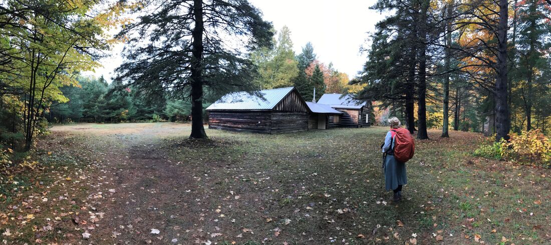
AuthorWe are Simon Lanoix and Julie Chatelain and we are 'JuSi Adventures'. Our passion is to share our experiences with others. We revel in seeing others becoming more confident and authentic selves through the challenges found in nature. Archives
November 2023
Categories |


 RSS Feed