JuSi Adventures
|
2 Comments
11/8/2022 12:11:18
Your Blog is very nice. 11/8/2022 12:22:45
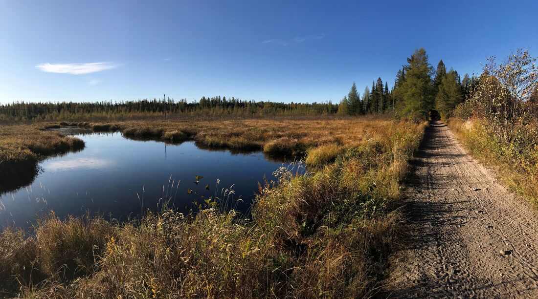
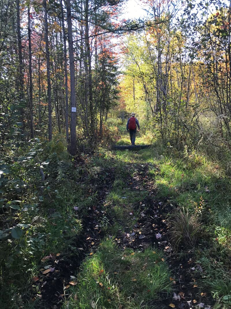
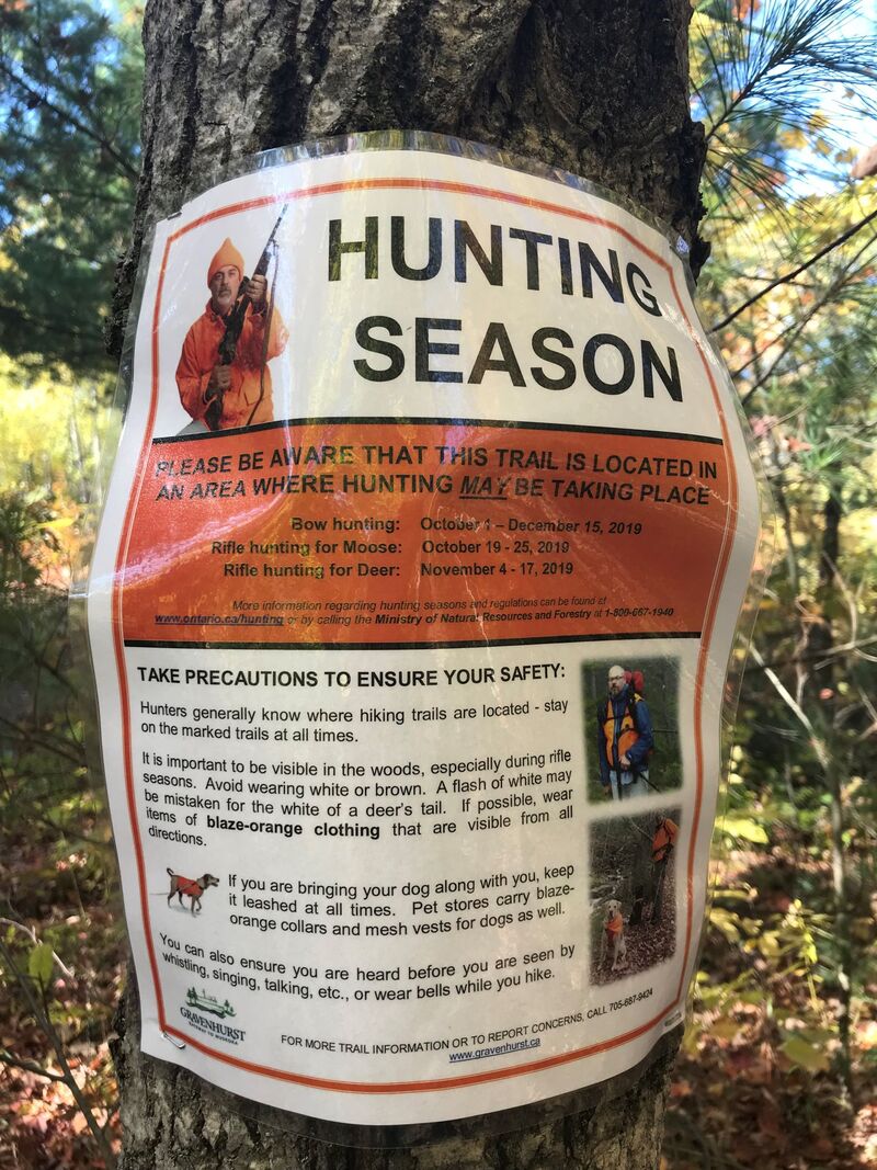
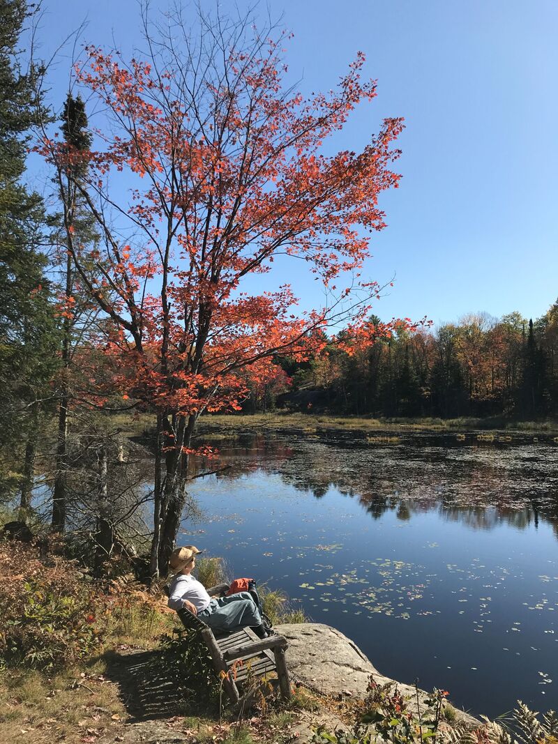
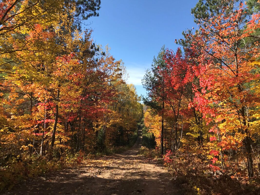
Area, but for the most part, these sections had been of short distances. From Orillia, this changed. Of the nine-hundred kilometers left, I truly appreciate your great post! Leave a Reply. |
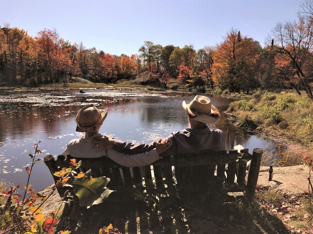
AuthorWe are Simon Lanoix and Julie Chatelain and we are 'JuSi Adventures'. Our passion is to share our experiences with others. We revel in seeing others becoming more confident and authentic selves through the challenges found in nature. Archives
November 2023
Categories |


 RSS Feed