JuSi Adventures
|
5 Comments
Brenda Gottgetreu
9/8/2018 09:52:48
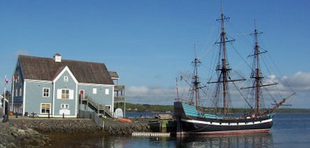
Hi Simon and Julie, sounds like you are enjoying Nova Scotia and meeting many of the wonderful folks who live there. My Aunt and Uncle live right across the park from the Hector in Pictou. They sit on their front porch and watch the world go by. Happy trails! Cheers, Brenda
Stuart Culbertson
10/8/2018 16:31:48
Looking good you two. Just wanted to update you on my friend Lorne's cycling tour of the TCT. He started in St. John's in May and is now in the Kootenays in BC! Hoping to welcome him back to Mile Zero of the trail in Victoria in two weeks time. Travel well my friends.
Simon
31/8/2018 17:14:31
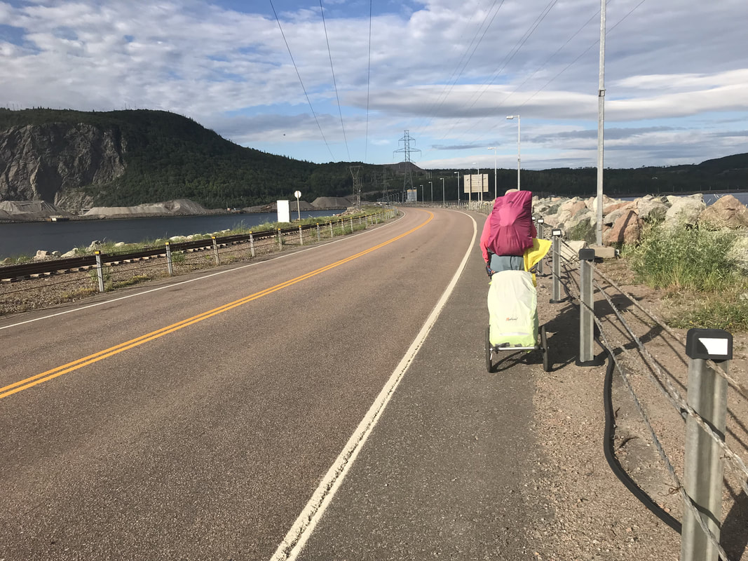
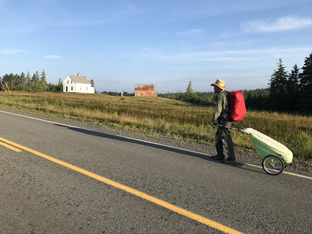
Pretty fast on a bike... but I have to admit that visiting as a pedestrian is amazing. Time stands still when you meet and spend time with strangers!
Michelle
15/8/2018 23:48:37
Toute mon admiration, je vous souhaite bonne continuation dans votre longue marche d'un «trou d'eau à l'autre» ! Les petites occupations quotidiennes semblent bien insignifiantes comparées aux rencontres exceptionnelles, pleines de bonté et de partage que vous faites et surtout à l'expérience qui est vôtre de rejoindre des zones de calme et de quiétude intérieure inconnue, bienfaisante.
Simon
31/8/2018 17:12:26
Merci Michelle, on est au paradis durant ces marches! Leave a Reply. |
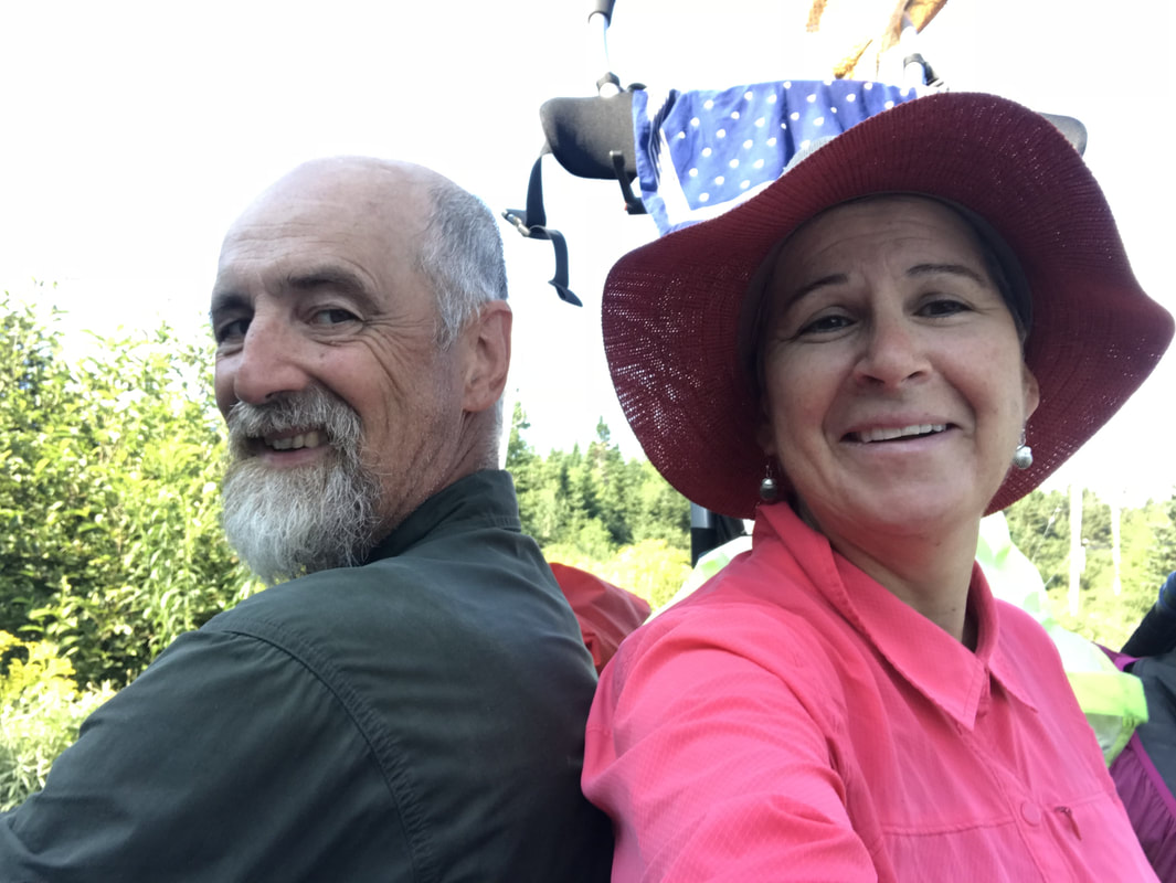
AuthorWe are Simon Lanoix and Julie Chatelain and we are 'JuSi Adventures'. Our passion is to share our experiences with others. We revel in seeing others becoming more confident and authentic selves through the challenges found in nature. Archives
November 2023
Categories |


 RSS Feed