JuSi Adventures
|
2 Comments
|
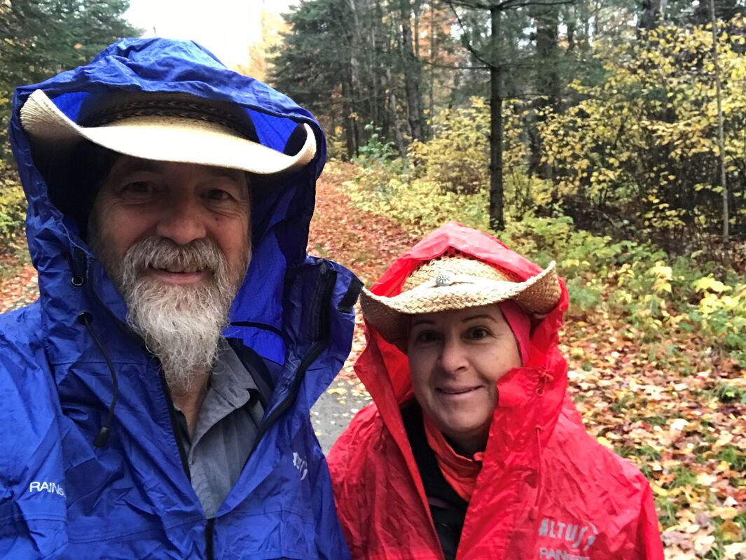
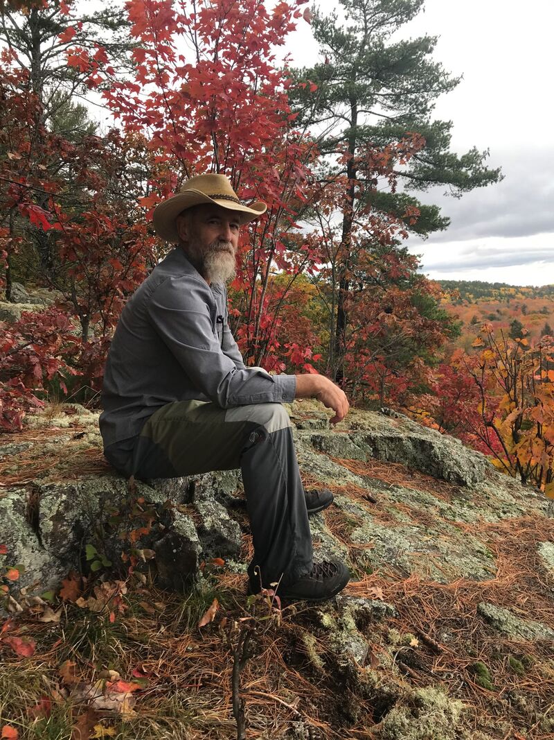
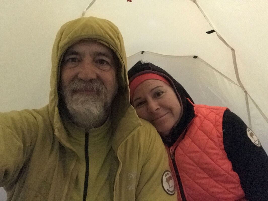
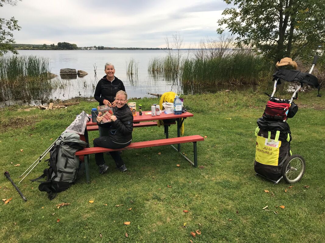
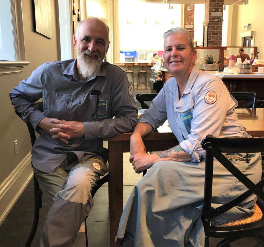
AuthorWe are Simon Lanoix and Julie Chatelain and we are 'JuSi Adventures'. Our passion is to share our experiences with others. We revel in seeing others becoming more confident and authentic selves through the challenges found in nature. Archives
November 2023
Categories |


 RSS Feed